Rockies
Wyoming fly fishing reports
Use this Wyoming hub to choose a starting river, check flows and weather, compare hatches, and jump into report pages with access, tactics, regulations, and source links.
Wyoming quick finder
Open the right report first.
Search Wyoming reports by river, water type, access style, or flow source. Start with a fishability-ready report when one matches the day.
10
reports
10
fishability-ready
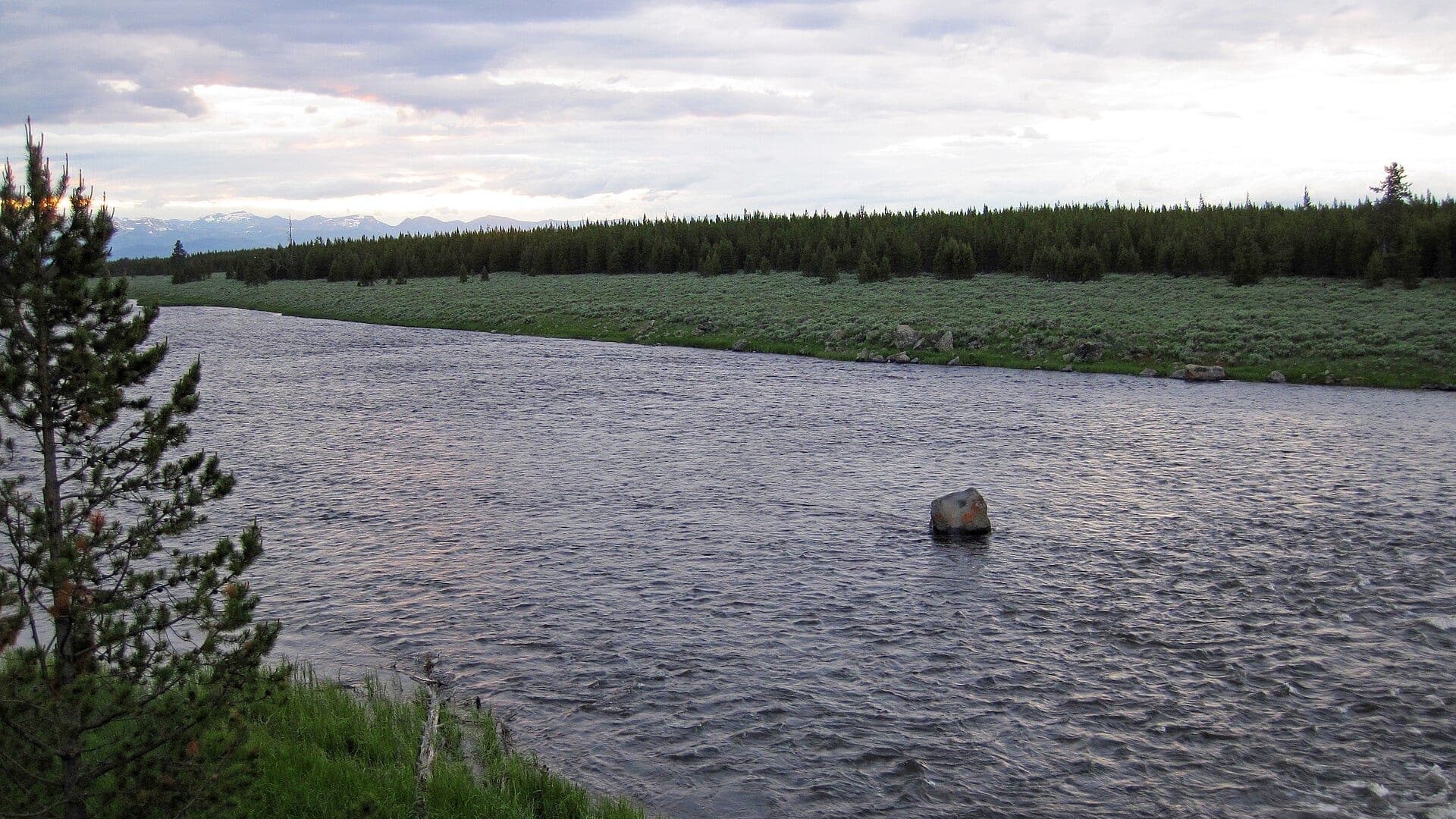
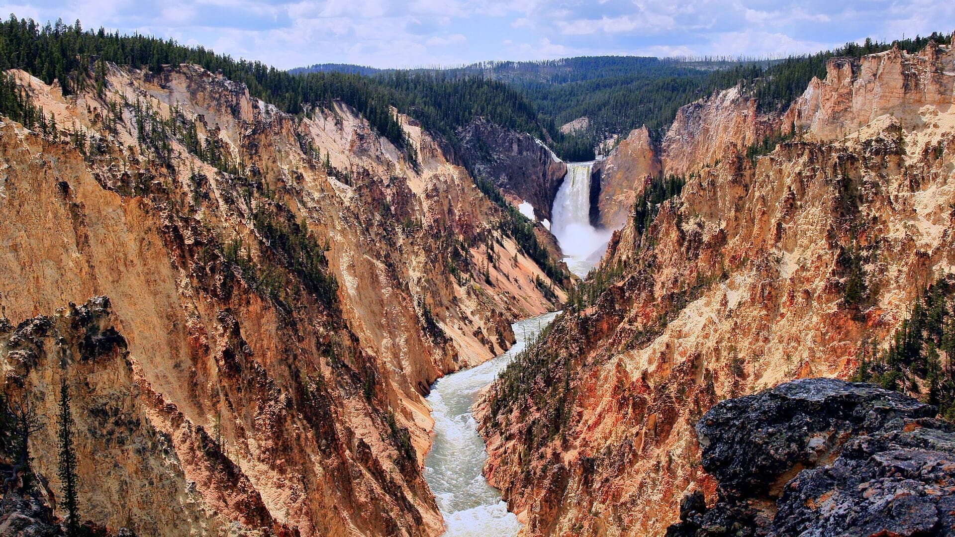
Yellowstone River In Yellowstone Park
Yellowstone River reaches inside Yellowstone National Park
High confidence (90/100)
Lamar River
The Lamar River through Yellowstone’s northeast region, especially the meadow and roadside valley water near Tower and Lamar Valley
High confidence (90/100)
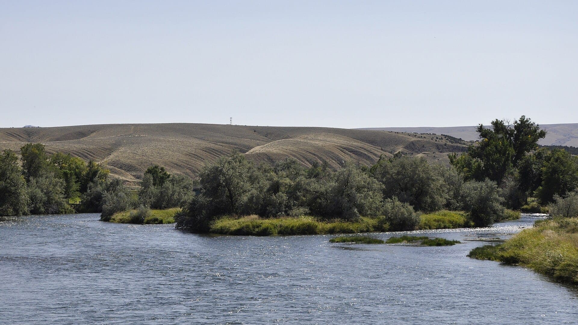
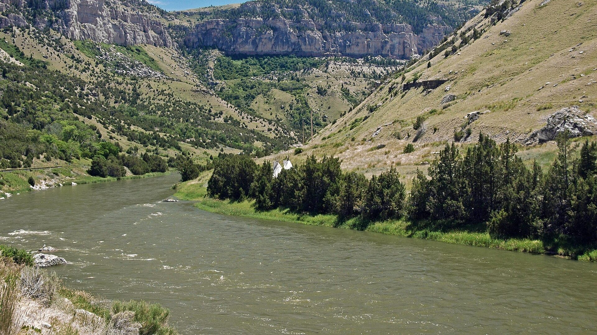
Green River
The upper Green River around Warren Bridge, including the WGFD easement and the BLM access road and camp chain north of the bridge
High confidence (90/100)
Reports
10
Region
Rockies
Fishability-ready
10
Planning focus
Flows, hatches, access
Flow coverage
5 with RiverReports chart coverage, 5 using USGS gauge fallback
BlueStreamFly currently covers 10 Wyoming fly fishing reports. The list below is organized around real report pages, so the state hub is a fast way to compare watersbefore opening a full river report. Start with the waters that match your trip style, then open the individual page for flow context, weather, hatches, flies, access notes, and source links.
The covered water types include Thermopolis, Wedding of the Waters, and Hot Springs County access, Madison Junction to the West Entrance park corridor, Buffalo Bill Reservoir to Cody and Corbett diversion context, Jackson Lake Dam, Moran, Grand Teton, and Jackson Hole reaches, Upper Wind River near Dubois and WGFD public access areas, Yellowstone River reaches inside Yellowstone National Park, and The Encampment River from the Riverside public easement upstream toward the wilderness trail corridor. Access styles in the current report set include Large-river bank, wade, and public-access-area planning, Park roadside access with permit, fly-only, and wildlife/thermal safety checks, Tailwater/mainstem access with city, PAA, and canyon planning, Float-first big river with park, state, and forest-rule checks, High-country road, PAA, and public-land trout planning, Park access with reach-by-reach closures and native-trout rules, and Public easement bank access plus trail-based canyon and wilderness options. That mix matters because a float river, a small trout stream, and a tailwater all need different flow, wading, fly, and safety decisions.
Flow checks are part of the planning path. In this state set,5 with RiverReports chart coverage, 5 using USGS gauge fallback. When a report uses a RiverReports chart, the page still keeps official gauge or agency sources where available. When only USGS data is available, the report explains the gauge and the practical planning limits.
Wyoming's covered reports include national park water, big western rivers, tailwater influence, high-country access, and float-first systems. The state hub should help anglers separate park rules from state access and big-river logistics.
The Snake, Bighorn, Shoshone, Wind, Madison in Yellowstone, and Yellowstone in Yellowstone reports all require careful rule, access, and safety checks.
Best for
- - Yellowstone and Grand Teton area planning
- - Big western trout rivers with float or public-access logistics
- - High-country and tailwater-influenced trips
- - Anglers checking park permits, closures, wildlife safety, and reach rules
Check before you go
- - Check Wyoming regulations and National Park Service rules where park water is involved.
- - For park waters, verify seasons, native trout rules, closures, wildlife safety, and thermal-area restrictions.
- - For big rivers, plan around flows, boat access, private land, and changing mountain weather.
- - Use individual reports to separate float-first water from roadside or walk-and-wade options.
Wyoming pages should be especially clear about park versus state-managed water because the rule set changes by boundary and reach.
Best starting points
First reports to open in Wyoming
These are not rankings. They are quick starting points from the current inventory, chosen to help you compare water types, access, and source coverage before drilling into the full list.
Thermopolis, Wedding of the Waters, and Hot Springs County access
Bighorn River
A Wyoming Bighorn report for the Thermopolis and Wedding of the Waters corridor, kept separate from the Montana Bighorn tailwater.
Open report
Madison Junction to the West Entrance park corridor
Madison River In Yellowstone Park
A Yellowstone Park Madison report that puts permits, fly-only rules, native-fish handling, thermal water, and current flow checks ahead of generic hatch copy.
Open report
Buffalo Bill Reservoir to Cody and Corbett diversion context
Shoshone River
A Cody-area Shoshone report focused on the mainstem below Buffalo Bill Reservoir, public access, dam-influenced flow, and practical trout tactics.
Open report
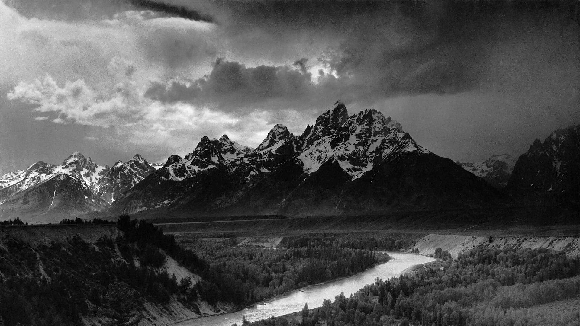
Jackson Lake Dam, Moran, Grand Teton, and Jackson Hole reaches
Snake River
A Jackson Hole and Grand Teton Snake River report built around cutthroat conservation, float logistics, verified RiverReports flow, and official USGS and NPS sources.
Open report
Upper Wind River near Dubois and WGFD public access areas
Wind River
A Dubois-area upper Wind River report that avoids reservation/lower-river confusion and focuses on public access, USGS flow, and high-country trout tactics.
Open report
Yellowstone River reaches inside Yellowstone National Park
Yellowstone River In Yellowstone Park
A reach-aware Yellowstone Park report that keeps closures, native cutthroat rules, road status, and official NPS sources ahead of generic fishing advice.
Open report
Seasons
How to think about timing
The best season changes by elevation, runoff, regulation, water temperature, hatch timing, and access. Use these notes as planning prompts, then confirm the individual river page and current official sources before fishing.
Spring
Good nymph and streamer windows when weather and flows are stable. See Bighorn River.
Summer
Early and late sessions fish best; watch water temperature and afternoon wind. See Bighorn River.
Fall
Streamer and nymph fishing can improve as temperatures cool. See Bighorn River.
Winter
Midday nymphing can work when ice, wind, and access allow. See Bighorn River.
Late spring
Only after snowmelt pulls back enough to reveal real holding water. See Encampment River.
Hatches
Hatch windows and fly planning
Hatch charts on BlueStreamFly are practical planning notes, not live bug reports. They help you pack flies and choose a starting tactic, then the actual river conditions should make the final decision.
March to April / Bighorn River
Midges, little black stones, early BWOs, and cold-water nymph windows
Zebra midge, black stonefly, BWO emerger, pheasant tail, small perdigon
May to June / Bighorn River
Runoff edges, salmonflies where present, caddis, PMDs, and Green Drakes on some water
Stonefly nymph, Pat's rubber legs, PMD emerger, elk hair caddis, green drake
Late May to June / Madison River In Yellowstone Park
Cold-water midges, BWOs, caddis, and early stoneflies when park water is open
Zebra midge, BWO emerger, caddis pupa, golden stone nymph, soft hackle
July / Madison River In Yellowstone Park
PMDs, caddis, golden stones, Green Drakes in suitable water, and spinner falls
PMD emerger, X-caddis, golden stone dry, green drake, rusty spinner
March to April / Encampment River
Midges, little black stones, BWOs, and cold-water nymph windows
Zebra midge, black stonefly, BWO emerger, pheasant tail, perdigon
Rules, access, and sources
Check the official path before you fish.
Regulations, closures, access, stocking, water temperature, and releases can change faster than a static page. Every river report should be treated as a planning page that points you back to current official sources.
Gauge examples
USGS 06259500 Thermopolis; chart context 06279500 Kane, USGS 06037500 Madison River near West Yellowstone, USGS 06282000 below Buffalo Bill; chart context 06285100 Lovell, RiverReports Snake River at Moran with USGS 13011000 backing, USGS 06218500 Wind River near Dubois, and USGS 06186500 Yellowstone River at Yellowstone Lake Outlet.
Regulations
Wyoming fishing regulations
Open source page
Regulations
Wyoming 2026 fishing regulation changes
Open source page
Access
WGFD Wedding of the Waters public access area
Open source page
Access
WGFD Bighorn River Longwell public access area
Open source page
Flow
USGS Bighorn River at Thermopolis 06259500
Open source page
Flow
USGS Bighorn River at Kane 06279500
Open source page
Safety and weather
National Weather Service Thermopolis forecast point
Open source page
Regulations
Yellowstone National Park fishing
Open source page
Full state list
All Wyoming report pages
Open a specific report for current planning context, nearby water, access notes, regulations, hatches, fly picks, weather, flow checks, and source links.
Wyoming / West
Bighorn River
Check if Bighorn River is fishable today with live flow context, weather, access, regulations, hatch timing, flies, and source links.
Wyoming / West
Madison River In Yellowstone Park
Check if Madison River In Yellowstone Park is fishable today with live flow context, weather, access, regulations, hatch timing, flies, and source links.
Wyoming / West
Shoshone River
Check if Shoshone River is fishable today with live flow context, weather, access, regulations, hatch timing, flies, and source links.
Wyoming / West
Snake River
Check if Snake River is fishable today with live flow context, weather, access, regulations, hatch timing, flies, and source links.
Wyoming / West
Wind River
Check if Wind River is fishable today with live flow context, weather, access, regulations, hatch timing, flies, and source links.
Wyoming / West
Yellowstone River In Yellowstone Park
Check if Yellowstone River In Yellowstone Park is fishable today with live flow context, weather, access, regulations, hatch timing, flies, and source links.

Wyoming / Rockies
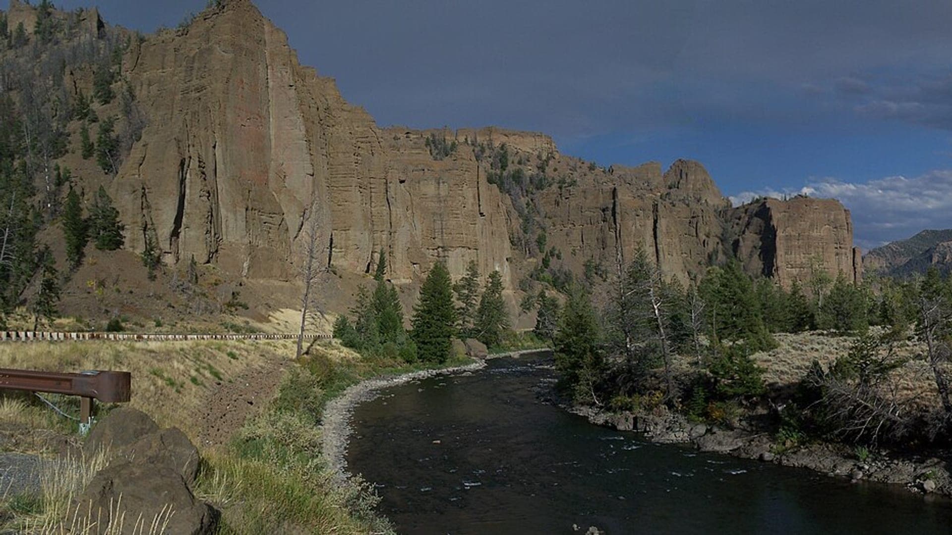
Encampment River
Check if Encampment River is fishable today with live flow context, weather, access, regulations, hatch timing, flies, and source links.

Wyoming / Rockies
Flat Creek
Check if Flat Creek is fishable today with live flow context, weather, access, regulations, hatch timing, flies, and source links.

Wyoming / Rockies
Lamar River
Check if Lamar River is fishable today with live flow context, weather, access, regulations, hatch timing, flies, and source links.

Wyoming / Rockies
Green River
Check if Green River is fishable today with live flow context, weather, access, regulations, hatch timing, flies, and source links.