Southeast
North Carolina fly fishing reports
Use this North Carolina hub to choose a starting river, check flows and weather, compare hatches, and jump into report pages with access, tactics, regulations, and source links.
North Carolina quick finder
Open the right report first.
Search North Carolina reports by river, water type, access style, or flow source. Start with a fishability-ready report when one matches the day.
10
reports
10
fishability-ready
Tuckasegee River
Tuckasegee River through Webster, Dillsboro, and the Bryson City corridor, with Cullowhee gauge context
High confidence (91/100)
Oconaluftee River
Oconaluftee River near Birdtown, Cherokee, and Great Smoky Mountains National Park boundary context
High confidence (90/100)
Watauga River
North Carolina Watauga River through the Valle Crucis, Sugar Grove, and Gorge access corridor
High confidence (90/100)
Reports
10
Region
Southeast
Fishability-ready
10
Planning focus
Flows, hatches, access
Flow coverage
9 with RiverReports chart coverage, 1 using USGS gauge fallback
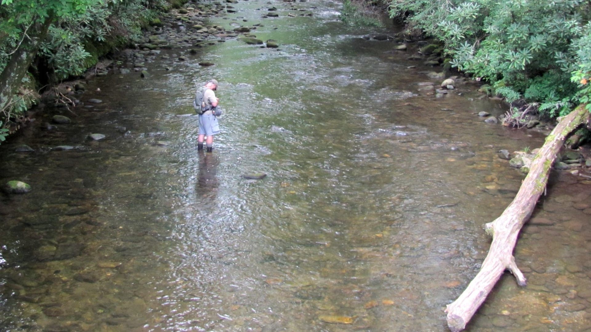
BlueStreamFly currently covers 10 North Carolina fly fishing reports. The list below is organized around real report pages, so the state hub is a fast way to compare watersbefore opening a full river report. Start with the waters that match your trip style, then open the individual page for flow context, weather, hatches, flies, access notes, and source links.
The covered water types include Davidson River near Brevard and Pisgah National Forest, Lower Nantahala Gorge near Hewitt with upper delayed-harvest context, North Carolina New River near Jefferson and New River State Park, Catawba River below Lake James near Bridgewater and nearby foothill access planning, French Broad River through and around Asheville, with emphasis on USGS Asheville flow and public riverfront access, Linville River near Nebo and Linville Gorge access context, and Oconaluftee River near Birdtown, Cherokee, and Great Smoky Mountains National Park boundary context. Access styles in the current report set include Pisgah National Forest access, campground corridor, special trout water, and posted-boundary care, USFS gorge access, hydropower release planning, delayed-harvest reach context, and roadside water, State park access, float planning, wading ledges, private-bank care, and fork-specific trout context, Tailwater and foothill-river bank planning with flow-dependent wading and careful parking checks, Urban and near-urban bank, wade-edge, and float planning with water-quality and storm-recovery checks, Steep gorge, trail, and roadside planning with serious terrain and weather judgment, and Roadside, park, and Cherokee Enterprise Waters planning with jurisdiction-specific rules. That mix matters because a float river, a small trout stream, and a tailwater all need different flow, wading, fly, and safety decisions.
Flow checks are part of the planning path. In this state set,9 with RiverReports chart coverage, 1 using USGS gauge fallback. When a report uses a RiverReports chart, the page still keeps official gauge or agency sources where available. When only USGS data is available, the report explains the gauge and the practical planning limits.
North Carolina's current reports cover Pisgah-area trout water, the Nantahala system, and New River warmwater or mixed river planning. The state hub should help anglers separate mountain trout, delayed-harvest or special-regulation water, and float-oriented trips.
A Davidson River plan is different from a Nantahala Gorge plan or New River plan. Access, water temperature, releases, park or forest rules, and target species should guide the choice.
Best for
- - Western North Carolina trout planning
- - Pisgah and Nantahala access checks
- - Anglers comparing mountain trout with float-oriented warmwater options
- - Readers who need regulation, public land, and release reminders
Check before you go
- - Check North Carolina regulations, hatchery-supported or wild trout designations, and delayed-harvest rules before fishing.
- - Use release and weather checks on the Nantahala and storm checks on mountain freestones.
- - Expect popular access near Brevard, Pisgah, and gorge corridors to concentrate pressure.
- - For the New River, separate float logistics, smallmouth tactics, and trout-context reaches.
North Carolina pages should connect fishing advice to regulation designations and public land because mountain trout access can be rule-specific.
Best starting points
First reports to open in North Carolina
These are not rankings. They are quick starting points from the current inventory, chosen to help you compare water types, access, and source coverage before drilling into the full list.
Davidson River near Brevard and Pisgah National Forest
Davidson River
A Brevard and Pisgah report for Davidson River flows, technical trout tactics, public mountain trout rules, access, hatches, and safety.
Open report
Lower Nantahala Gorge near Hewitt with upper delayed-harvest context
Nantahala River
A Nantahala report for lower gorge flows, upper delayed-harvest context, release safety, public trout rules, access, hatches, and tactics.
Open report
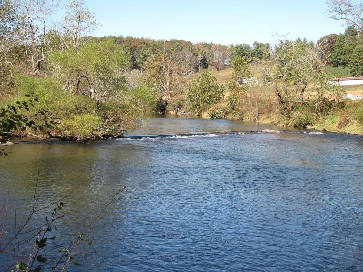
North Carolina New River near Jefferson and New River State Park
New River
A North Carolina New River report focused on mountain smallmouth water, South Fork flows, state park access, warmwater tactics, and trout-reach cautions.
Open report
Catawba River below Lake James near Bridgewater and nearby foothill access planning
Catawba River
A Catawba River report for anglers checking Lake James tailwater flows, public access, trout and smallmouth timing, and wading safety before fishing.
Open report
French Broad River through and around Asheville, with emphasis on USGS Asheville flow and public riverfront access
French Broad River
An Asheville-area French Broad report for anglers checking live flows, riverfront access, smallmouth tactics, water clarity, and post-storm safety.
Open report
Linville River near Nebo and Linville Gorge access context
Linville River
A Linville River report for anglers checking gorge access, steep terrain, flows, NC trout rules, hatches, and when to choose a safer backup plan.
Open report
Seasons
How to think about timing
The best season changes by elevation, runoff, regulation, water temperature, hatch timing, and access. Use these notes as planning prompts, then confirm the individual river page and current official sources before fishing.
Late winter and spring
Midges, BWOs, caddis, and stocked/wild trout windows improve. See Davidson River.
April and May
Caddis, sulphurs, and yellow sallies make dry-dropper fishing useful. See Davidson River.
Summer
Early shade and terrestrials can work if water stays cool. See Davidson River.
Fall
Cooler flows, BWOs, and small streamers return. See Davidson River.
Spring
Delayed-harvest stocking, caddis, BWOs, sulphurs, and active nymphing. See Nantahala River.
Hatches
Hatch windows and fly planning
Hatch charts on BlueStreamFly are practical planning notes, not live bug reports. They help you pack flies and choose a starting tactic, then the actual river conditions should make the final decision.
February to March / Davidson River
Midges, early black stones, BWOs, and early caddis
Zebra midge, black stonefly nymph, BWO emerger, caddis pupa
April to May / Davidson River
Caddis, sulphurs, March Browns, yellow sallies, and golden stones
Elk hair caddis, sulphur emerger, March Brown, yellow sally, Pat's rubber legs
March to April / New River
Cold-water minnows, crayfish, and early aquatic insects
Small Clouser, woolly bugger, crayfish, balanced leech
May to June / New River
Minnows, crayfish, damsels, dragonflies, and caddis
Clouser, crayfish, hellgrammite, slider, soft hackle
March-April / Catawba River
Midges, early mayflies, small black stones
Zebra midge, pheasant tail, black stonefly nymph
Rules, access, and sources
Check the official path before you fish.
Regulations, closures, access, stocking, water temperature, and releases can change faster than a static page. Every river report should be treated as a planning page that points you back to current official sources.
Gauge examples
RiverReports with USGS 02138520 below Lake James near Bridgewater, RiverReports with USGS 03451500 at Asheville, RiverReports with USGS 02138500 near Nebo, RiverReports with USGS 03512000 at Birdtown, RiverReports with USGS 03510577 near Bryson City and 03508050 near Cullowhee backing the corridor, and RiverReports with USGS 03479000 Watauga River near Sugar Grove backing the main public corridor.
Flow
RiverReports Davidson River near Brevard
Open source page
Flow
USGS Davidson River near Brevard 03441000
Open source page
Regulations
NC Wildlife trout fishing resources
Open source page
Regulations
NC Wildlife public mountain trout waters search
Open source page
Access
USFS Davidson River Recreation Area
Open source page
Access
USFS Art Loeb Trailhead Davidson River
Open source page
Safety and weather
National Weather Service forecast point
Open source page
Flow
RiverReports Nantahala River near Hewitt
Open source page
Full state list
All North Carolina report pages
Open a specific report for current planning context, nearby water, access notes, regulations, hatches, fly picks, weather, flow checks, and source links.
North Carolina / Southeast
Davidson River
Check if Davidson River is fishable today with live flow context, weather, access, regulations, hatch timing, flies, and source links.
North Carolina / Southeast
Nantahala River
Check if Nantahala River is fishable today with live flow context, weather, access, regulations, hatch timing, flies, and source links.
North Carolina / Southeast
New River
Check if New River is fishable today with live flow context, weather, access, regulations, hatch timing, flies, and source links.

North Carolina / Southeast
Catawba River
Check if Catawba River is fishable today with live flow context, weather, access, regulations, hatch timing, flies, and source links.

North Carolina / Southeast
French Broad River
Check if French Broad River is fishable today with live flow context, weather, access, regulations, hatch timing, flies, and source links.

North Carolina / Southeast
Linville River
Check if Linville River is fishable today with live flow context, weather, access, regulations, hatch timing, flies, and source links.

North Carolina / Southeast
Oconaluftee River
Check if Oconaluftee River is fishable today with live flow context, weather, access, regulations, hatch timing, flies, and source links.

North Carolina / Southeast
Tuckasegee River
Check if Tuckasegee River is fishable today with live flow context, weather, access, regulations, hatch timing, flies, and source links.

North Carolina / Southeast
Watauga River
Check if Watauga River is fishable today with live flow context, weather, access, regulations, hatch timing, flies, and source links.

North Carolina / Southeast
Toe River
Check if Toe River is fishable today with live flow context, weather, access, regulations, hatch timing, flies, and source links.