Southeast
West Virginia fly fishing reports
Use this West Virginia hub to choose a starting river, check flows and weather, compare hatches, and jump into report pages with access, tactics, regulations, and source links.
West Virginia quick finder
Open the right report first.
Search West Virginia reports by river, water type, access style, or flow source. Start with a fishability-ready report when one matches the day.
10
reports
10
fishability-ready
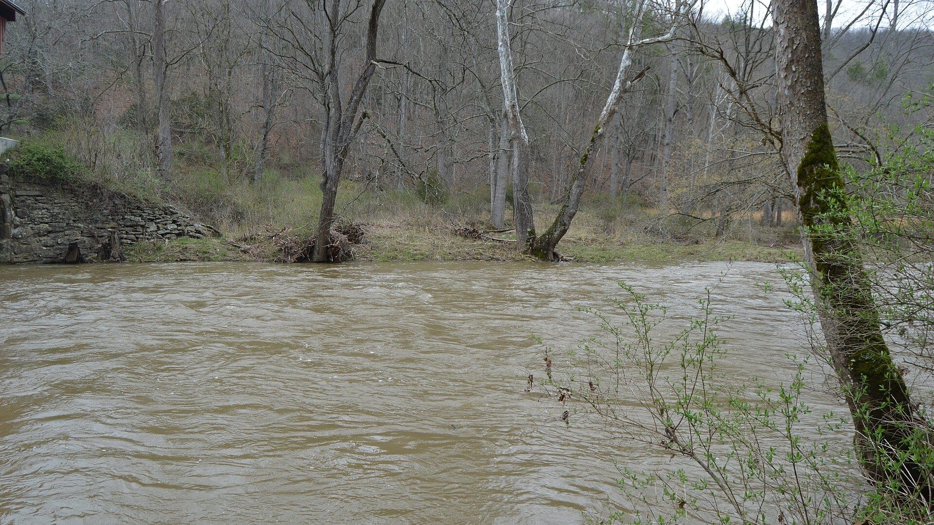
Blackwater River
The Davis and Blackwater Falls corridor, including the Camp 70 Road stretch and the SR 32 bridge section
Good confidence (89/100)
Cranberry River
The lower Cranberry corridor around Forest Road 76, Cranberry Campground, and the public campsites along the river
Good confidence (89/100)
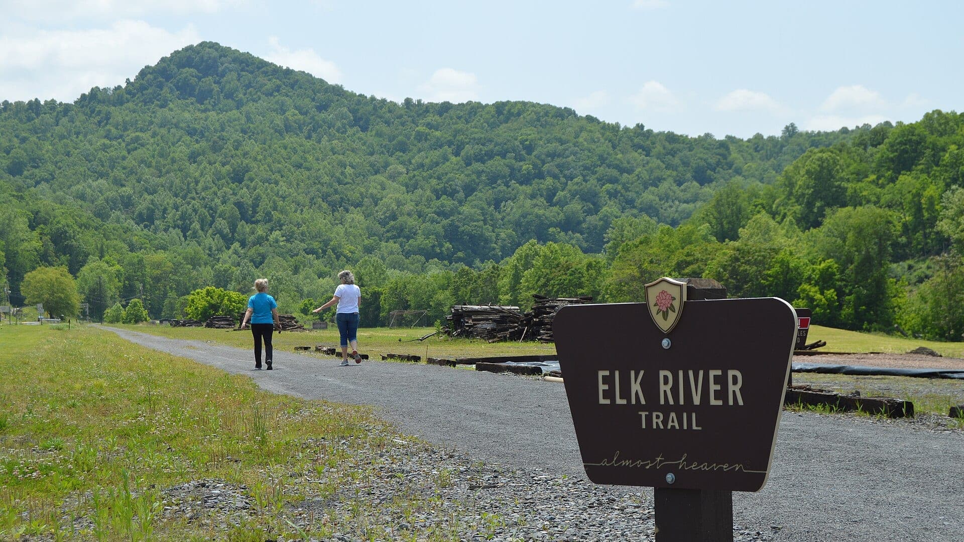
Elk River
Upper Elk River near Webster Springs
High confidence (88/100)
Reports
10
Region
Southeast
Fishability-ready
10
Planning focus
Flows, hatches, access
Flow coverage
5 with RiverReports chart coverage, 3 using USGS gauge fallback, 2 without a verified live gauge
BlueStreamFly currently covers 10 West Virginia fly fishing reports. The list below is organized around real report pages, so the state hub is a fast way to compare watersbefore opening a full river report. Start with the waters that match your trip style, then open the individual page for flow context, weather, hatches, flies, access notes, and source links.
The covered water types include Upper Elk River near Webster Springs, West Fork of Greenbrier River near Durbin, Rodgers Mill fly-fishing-only trout reach, Seneca Rocks mouth reach and upper backcountry context, Shavers Fork trout corridor near Bowden and Stuart, The Davis and Blackwater Falls corridor, including the Camp 70 Road stretch and the SR 32 bridge section, and The Pipestem and Bluestone National Scenic River corridor near the public fishing and paddling access. Access styles in the current report set include Mountain road pullouts, public access checks, and stocked trout water, Small-stream roads, trail corridor, public access checks, and stocked trout water, Small-stream roadside access with posted-land checks, Short special-reg reach plus backcountry trail planning, Forest roads, recreation areas, and managed trout reaches, Roadside trout access, park-trail walk-ins, and short wading sessions rather than long floats, and Trail-based bank access, river-level dependent wading, and selective warmwater floats. That mix matters because a float river, a small trout stream, and a tailwater all need different flow, wading, fly, and safety decisions.
Flow checks are part of the planning path. In this state set,5 with RiverReports chart coverage, 3 using USGS gauge fallback, 2 without a verified live gauge. When a report uses a RiverReports chart, the page still keeps official gauge or agency sources where available. When only USGS data is available, the report explains the gauge and the practical planning limits.
West Virginia's current reports focus on mountain trout water, stocked and managed reaches, forest road access, and smaller freestone systems. The hub should help anglers plan around access, stocking context, and storm-sensitive flows.
The Elk, Shavers Fork, Seneca, Second Creek, and Greenbrier-area reports are useful starting points, but each requires public access and regulation checks before fishing.
Best for
- - Mountain trout and stocked-water planning
- - Forest road and trail access checks
- - Small-stream anglers comparing public water options
- - Readers who need regulation and posted-land reminders
Check before you go
- - Check West Virginia regulations, special trout rules, and stocking or managed-water details before fishing.
- - Watch rain and road conditions before committing to smaller mountain streams.
- - Confirm public access because roads, posted land, and forest boundaries can shape the day.
- - Use the individual report to decide whether the water fits a stocked trout, wild trout, or backcountry-style plan.
West Virginia pages should keep public access and regulation links visible because the best fishing plan often depends on land status and recent conditions.
Best starting points
First reports to open in West Virginia
These are not rankings. They are quick starting points from the current inventory, chosen to help you compare water types, access, and source coverage before drilling into the full list.
Upper Elk River near Webster Springs
Elk River
An upper Elk River report for Webster Springs and Randolph-Webster trout water, with flow, stocking, access, hatches, weather, and WVDNR source checks.
Open report
West Fork of Greenbrier River near Durbin
Greenbrier River West Fork
A West Fork Greenbrier report for Durbin-area trout water, with flow, stocking, access, hatches, flies, weather, and WVDNR source checks.
Open report
Rodgers Mill fly-fishing-only trout reach
Second Creek
A practical report for the Rodgers Mill fly-fishing-only section of Second Creek, with rules, access, hatches, and careful no-gauge condition planning.
Open report
Seneca Rocks mouth reach and upper backcountry context
Seneca Creek
A Seneca Rocks and backcountry planning report for Seneca Creek, with special-regulation guardrails, access context, hatches, and no-gauge flow guidance.
Open report
Shavers Fork trout corridor near Bowden and Stuart
Shavers Fork River
A source-checked Shavers Fork report for the Cheat Bridge, Bowden, and Stuart-area trout corridor with flow, regulations, hatches, and access planning.
Open report
The Davis and Blackwater Falls corridor, including the Camp 70 Road stretch and the SR 32 bridge section
Blackwater River
A Blackwater River report for Davis-area trout planning with live flow checks, stocked-water access anchors, and honest pushy-water cautions.
Open report
Seasons
How to think about timing
The best season changes by elevation, runoff, regulation, water temperature, hatch timing, and access. Use these notes as planning prompts, then confirm the individual river page and current official sources before fishing.
Spring
Stocking, hatches, and cool water make this the main trout window. See Elk River.
Summer
Early shaded windows only when water stays cool enough. See Elk River.
Fall
Cooling water, leaves, and streamers can improve trout fishing. See Elk River.
Winter
Slow nymphing works during safe stable flows. See Elk River.
Early summer
Still useful on cool mornings, but current swings and warming afternoons matter more. See Blackwater River.
Hatches
Hatch windows and fly planning
Hatch charts on BlueStreamFly are practical planning notes, not live bug reports. They help you pack flies and choose a starting tactic, then the actual river conditions should make the final decision.
March to April / Elk River
Quill Gordons, Blue Quills, early caddis, stocked-trout nymphing, and midges
Quill Gordon, Blue Quill, caddis pupa, hare's ear, zebra midge
May to June / Elk River
March Browns, sulphurs, Light Cahills, caddis, and evening spinners
March Brown, sulphur emerger, Light Cahill, elk hair caddis, rusty spinner
March to April / Second Creek
Quill Gordons, Blue Quills, midges, early caddis, and stocked-trout nymphing
Quill Gordon, Blue Quill, zebra midge, caddis pupa, hare's ear
March to April / Blackwater River
Blue quills, early caddis, Quill Gordon windows, and cold-water nymphing
Quill Gordon, BWO emerger, caddis pupa, hare's ear, small stonefly nymph
May to June / Blackwater River
March Browns, sulphurs, caddis, Light Cahills, and evening spinner falls
March Brown, sulphur emerger, elk hair caddis, Light Cahill, rusty spinner
Rules, access, and sources
Check the official path before you fish.
Regulations, closures, access, stocking, water temperature, and releases can change faster than a static page. Every river report should be treated as a planning page that points you back to current official sources.
Gauge examples
USGS 03194700 below Webster Springs, USGS 03180400 at Durbin, No verified current public live gauge, No verified direct current Seneca Creek gauge, USGS 03068800 below Bowden, and RiverReports with USGS 03066000 at Davis as the official flow backstop.
Regulations
West Virginia fishing regulations
Open source page
Regulations
West Virginia trout stocking schedule and locations
Open source page
Access
West Virginia trout stocking map
Open source page
Access
WVDNR public river and stream access guide
Open source page
Flow
USGS 03194700 Elk River below Webster Springs
Open source page
Safety and weather
National Weather Service point near Webster Springs
Open source page
Access
Pocahontas County West Fork Trail
Open source page
Flow
USGS 03180400 West Fork Greenbrier River at Durbin
Open source page
Full state list
All West Virginia report pages
Open a specific report for current planning context, nearby water, access notes, regulations, hatches, fly picks, weather, flow checks, and source links.
West Virginia / Appalachia
Elk River
Check if Elk River is fishable today with live flow context, weather, access, regulations, hatch timing, flies, and source links.

West Virginia / Appalachia
Greenbrier River West Fork
Check if Greenbrier River West Fork is fishable today with live flow context, weather, access, regulations, hatch timing, flies, and source links.
West Virginia / Southeast
Second Creek
Check if Second Creek is fishable today with live flow context, weather, access, regulations, hatch timing, flies, and source links.
West Virginia / Southeast
Seneca Creek
Check if Seneca Creek is fishable today with live flow context, weather, access, regulations, hatch timing, flies, and source links.

West Virginia / Southeast
Shavers Fork River
Check if Shavers Fork River is fishable today with live flow context, weather, access, regulations, hatch timing, flies, and source links.

West Virginia / Southeast
Blackwater River
Check if Blackwater River is fishable today with live flow context, weather, access, regulations, hatch timing, flies, and source links.

West Virginia / Southeast
Bluestone River
Check if Bluestone River is fishable today with live flow context, weather, access, regulations, hatch timing, flies, and source links.

West Virginia / Southeast
Cranberry River
Check if Cranberry River is fishable today with live flow context, weather, access, regulations, hatch timing, flies, and source links.

West Virginia / Southeast
South Branch Potomac River
Check if South Branch Potomac River is fishable today with live flow context, weather, access, regulations, hatch timing, flies, and source links.

West Virginia / Southeast
Dry Fork
Check if Dry Fork is fishable today with live flow context, weather, access, regulations, hatch timing, flies, and source links.