Southwest
New Mexico fly fishing reports
Use this New Mexico hub to choose a starting river, check flows and weather, compare hatches, and jump into report pages with access, tactics, regulations, and source links.
New Mexico quick finder
Open the right report first.
Search New Mexico reports by river, water type, access style, or flow source. Start with a fishability-ready report when one matches the day.
8
reports
8
fishability-ready
San Juan River
San Juan River below Navajo Dam and Quality Water
High confidence (91/100)
Pecos River
Upper Pecos Canyon trout water near Pecos, Terrero, and Cowles
Good confidence (89/100)
Rio Costilla
Rio Costilla basin planning from the lower park corridor to upper valley and lake access near Costilla and the Valle Vidal edge
Good confidence (89/100)
Reports
8
Region
Southwest
Fishability-ready
8
Planning focus
Flows, hatches, access
Flow coverage
8 with RiverReports chart coverage
BlueStreamFly currently covers 8 New Mexico fly fishing reports. The list below is organized around real report pages, so the state hub is a fast way to compare watersbefore opening a full river report. Start with the waters that match your trip style, then open the individual page for flow context, weather, hatches, flies, access notes, and source links.
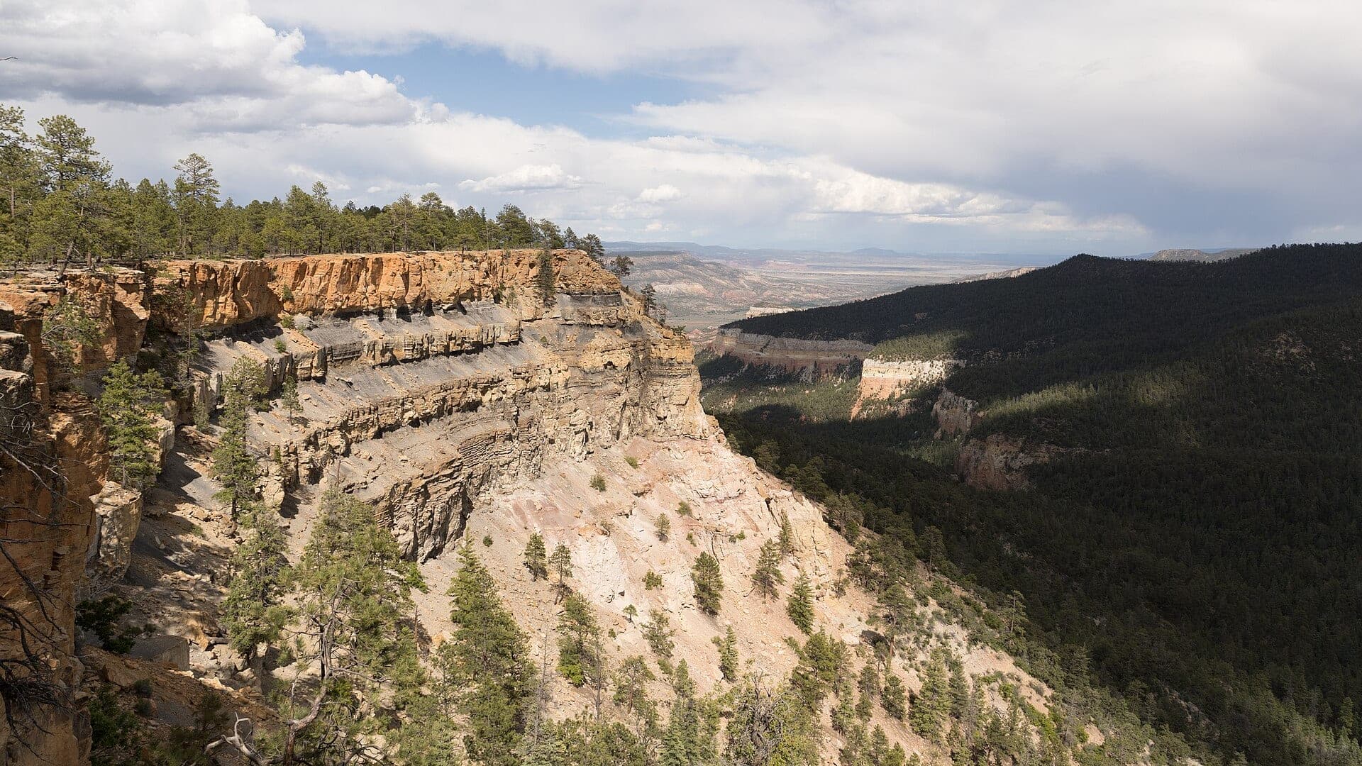
The covered water types include Rio Chama below El Vado Dam and canyon access corridor, Cimarron Canyon below Eagle Nest Dam, Upper Pecos Canyon trout water near Pecos, Terrero, and Cowles, San Juan River below Navajo Dam and Quality Water, Rio Brazos planning around the Fishtail Road gauge and Carson National Forest access near Tierra Amarilla and the Colorado borderlands, Jemez River planning from lower-river public access near Jemez Springs to East Fork Jemez access in Valles Caldera, and Red River planning from the hatchery gauge and Questa corridor to lower Wild Rivers access near the Rio Grande confluence. Access styles in the current report set include Tailwater, canyon roads, float logistics, and public-land access checks, Roadside canyon pullouts, state park water, and short technical wades, Roadside canyon access, campgrounds, public land, and reservation-only park water, Tailwater day-use areas, trails, boat/wade plans, and managed special-regulation water, Forest-road, campground, and roadside freestone access with runoff-sensitive wading, Roadside lower-river access plus seasonal frontcountry access in Valles Caldera, and Town and forest roadside access upstream, plus hike-in BLM access lower in the canyon. That mix matters because a float river, a small trout stream, and a tailwater all need different flow, wading, fly, and safety decisions.
Flow checks are part of the planning path. In this state set,8 with RiverReports chart coverage. When a report uses a RiverReports chart, the page still keeps official gauge or agency sources where available. When only USGS data is available, the report explains the gauge and the practical planning limits.
New Mexico on BlueStreamFly covers a strong mix of tailwaters, canyon trout water, and mountain freestones. The San Juan, Chama, Cimarron, and Pecos each need different planning around releases, access, and weather.
The state hub should help anglers decide whether they are planning a technical tailwater trip, a canyon road trip, or a mountain stream day.
Best for
- - San Juan and other tailwater trout planning
- - Mountain and canyon trout trips
- - Anglers checking releases, public land, and access roads
- - Readers comparing technical water with simpler freestone options
Check before you go
- - Check New Mexico regulations and special trout water rules before fishing.
- - Use release and flow data carefully on tailwaters below major dams.
- - Watch wildfire, road, snow, and monsoon impacts before mountain or canyon trips.
- - Respect tribal, private, state park, and federal land boundaries.
New Mexico pages should separate tailwater source checks from mountain access checks so anglers do not plan every river the same way.
Best starting points
First reports to open in New Mexico
These are not rankings. They are quick starting points from the current inventory, chosen to help you compare water types, access, and source coverage before drilling into the full list.
Rio Chama below El Vado Dam and canyon access corridor
Chama River
A Rio Chama report for the El Vado and canyon corridor, with release-driven flow checks, trout tactics, access logistics, and regulations.
Open report
Cimarron Canyon below Eagle Nest Dam
Cimarron River
A Cimarron Canyon report for the small tailwater below Eagle Nest Dam, with flow checks, Red Chile regulation notes, access, and fly choices.
Open report
Upper Pecos Canyon trout water near Pecos, Terrero, and Cowles
Pecos River
An upper Pecos Canyon report for trout water near Pecos, Terrero, and Cowles, with flow, hatches, access, regulations, and safety checks.
Open report
San Juan River below Navajo Dam and Quality Water
San Juan River
A below-Navajo-Dam San Juan report for Quality Water trout, technical midge fishing, release checks, access, regulations, and trip planning.
Open report
Rio Brazos planning around the Fishtail Road gauge and Carson National Forest access near Tierra Amarilla and the Colorado borderlands
Brazos River
A high-country Brazos River report for anglers checking runoff, Carson National Forest access, trout timing, and simple freestone tactics before committing to the canyon.
Open report
Jemez River planning from lower-river public access near Jemez Springs to East Fork Jemez access in Valles Caldera
Jemez River
A Jemez River report for anglers balancing lower-river access, East Fork planning, spring runoff, trout ethics, and easy-to-read fly-fishing decisions.
Open report
Seasons
How to think about timing
The best season changes by elevation, runoff, regulation, water temperature, hatch timing, and access. Use these notes as planning prompts, then confirm the individual river page and current official sources before fishing.
Spring
Midges, BWOs, early caddis, and release checks drive most trout plans. See Chama River.
Early summer
Caddis, PMDs, and canyon float timing can line up when releases are friendly. See Chama River.
Late summer
Fish early, watch temperatures, and expect monsoon clarity swings. See Chama River.
Fall
Cooler weather, BWOs, and streamer edges can improve trout handling and activity. See Chama River.
Summer
Caddis, PMDs, terrestrials, and morning windows can be strong with trout-safe temperatures. See Cimarron River.
Hatches
Hatch windows and fly planning
Hatch charts on BlueStreamFly are practical planning notes, not live bug reports. They help you pack flies and choose a starting tactic, then the actual river conditions should make the final decision.
March to April / Chama River
Midges, BWOs, early caddis, and small stoneflies
Zebra midge, RS2, BWO emerger, caddis pupa, small black stonefly
May to June / Chama River
Caddis, PMDs, yellow sallies, golden stones, and runoff-edge bugs
Elk hair caddis, PMD emerger, yellow sally, Pat's rubber legs, hare's ear
May-June / Brazos River
Stoneflies, caddis, early mayflies
Stimulator, elk hair caddis, hare's ear, stonefly nymph
June-July / Brazos River
PMDs, caddis, yellow sallies
PMD emerger, caddis dry, yellow stimulator, perdigon
April-May / Jemez River
Midges, caddis, early mayflies
Zebra midge, hare's ear, caddis pupa, Adams
Rules, access, and sources
Check the official path before you fish.
Regulations, closures, access, stocking, water temperature, and releases can change faster than a static page. Every river report should be treated as a planning page that points you back to current official sources.
Gauge examples
RiverReports with USGS 08282300 at Fishtail Road near Tierra Amarilla, RiverReports with USGS 08324000 near Jemez, RiverReports with USGS 08266820 below the fish hatchery near Questa, and RiverReports with USGS 08255500 near Costilla.
Flow
RiverReports Chama River below El Vado
Open source page
Flow
USGS Rio Chama below El Vado Dam 08285500
Open source page
Regulations
New Mexico 2026-2027 Fishing Rules and Information
Open source page
Regulations
New Mexico general fishing regulations
Open source page
Access
BLM Rio Chama Wild and Scenic River
Open source page
Safety and weather
National Weather Service forecast point
Open source page
Flow
RiverReports Cimarron River below Eagle Nest Dam
Open source page
Flow
USGS Cimarron River below Eagle Nest Dam 07206000
Open source page
Full state list
All New Mexico report pages
Open a specific report for current planning context, nearby water, access notes, regulations, hatches, fly picks, weather, flow checks, and source links.
New Mexico / Southwest
Chama River
Check if Chama River is fishable today with live flow context, weather, access, regulations, hatch timing, flies, and source links.
New Mexico / Southwest
Cimarron River
Check if Cimarron River is fishable today with live flow context, weather, access, regulations, hatch timing, flies, and source links.
New Mexico / Southwest
Pecos River
Check if Pecos River is fishable today with live flow context, weather, access, regulations, hatch timing, flies, and source links.
New Mexico / Southwest
San Juan River
Check if San Juan River is fishable today with live flow context, weather, access, regulations, hatch timing, flies, and source links.

New Mexico / Southwest
Brazos River
Check if Brazos River is fishable today with live flow context, weather, access, regulations, hatch timing, flies, and source links.

New Mexico / Southwest
Jemez River
Check if Jemez River is fishable today with live flow context, weather, access, regulations, hatch timing, flies, and source links.

New Mexico / Southwest
Red River
Check if Red River is fishable today with live flow context, weather, access, regulations, hatch timing, flies, and source links.

New Mexico / Southwest
Rio Costilla
Check if Rio Costilla is fishable today with live flow context, weather, access, regulations, hatch timing, flies, and source links.