Rockies
Utah fly fishing reports
Use this Utah hub to choose a starting river, check flows and weather, compare hatches, and jump into report pages with access, tactics, regulations, and source links.
Utah quick finder
Open the right report first.
Search Utah reports by river, water type, access style, or flow source. Start with a fishability-ready report when one matches the day.
8
reports
8
fishability-ready
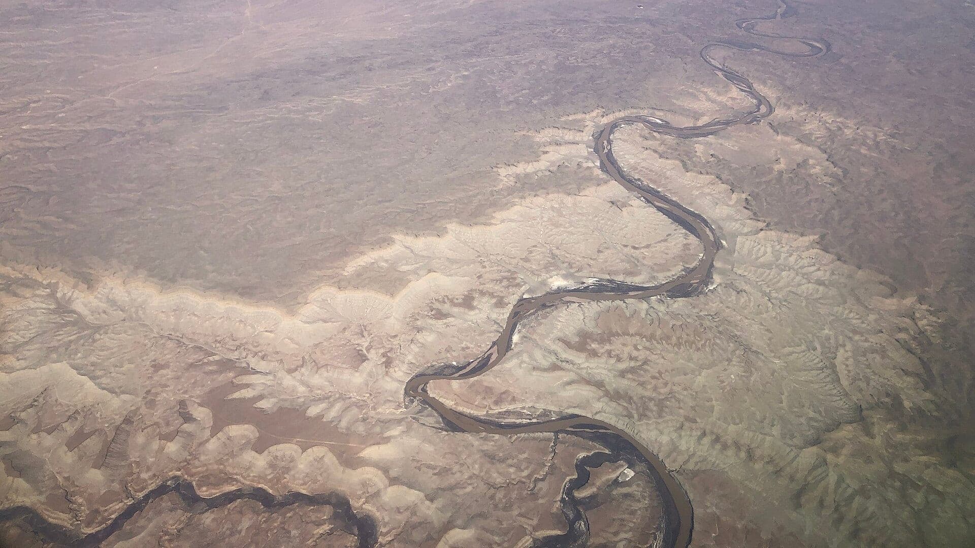
Green River
Green River below Flaming Gorge Dam, A/B/C section planning, and Greendale gauge context
High confidence (91/100)
Provo River
Middle Provo near Heber City, with lower-river context checked separately
High confidence (91/100)
Duchesne River
Upper Duchesne River and Tabiona gauge corridor
High confidence (90/100)
Reports
8
Region
Rockies
Fishability-ready
8
Planning focus
Flows, hatches, access
Flow coverage
7 with RiverReports chart coverage, 1 using USGS gauge fallback
BlueStreamFly currently covers 8 Utah fly fishing reports. The list below is organized around real report pages, so the state hub is a fast way to compare watersbefore opening a full river report. Start with the waters that match your trip style, then open the individual page for flow context, weather, hatches, flies, access notes, and source links.
The covered water types include Upper Duchesne River and Tabiona gauge corridor, Green River below Flaming Gorge Dam, A/B/C section planning, and Greendale gauge context, Middle Provo near Heber City, with lower-river context checked separately, Upper Weber River, Oakley, Holiday Park to Echo context, and public access research, Yellowstone Creek in Duchesne County and the upper Yellowstone drainage, Blacksmith Fork Canyon from the first SR-101 bridge at the canyon mouth upstream through the Hardware WMA corridor, and Logan River through Logan Canyon, centered on the Highway 89 corridor from Spring Hollow and Bridger upstream toward Red Banks Campground. Access styles in the current report set include Mountain freestone, public access checks, private-land awareness, and runoff timing, Clear canyon tailwater, drift boats, wade pockets, permits, and shuttle logistics, Technical trout river, public access corridors, private-land awareness, and pressured water, Utah trout river with stream-access complexity, public corridors, private land, and pressured reaches, Remote Uinta road, campground, bridge, and public-land scouting, Roadside canyon pull-offs, Hardware WMA public water, and short wading sessions bounded by Utah stream-access law, and Roadside canyon pull-offs, campground corridors, and short-wade public access with private-bed rules still in force. That mix matters because a float river, a small trout stream, and a tailwater all need different flow, wading, fly, and safety decisions.
Flow checks are part of the planning path. In this state set,7 with RiverReports chart coverage, 1 using USGS gauge fallback. When a report uses a RiverReports chart, the page still keeps official gauge or agency sources where available. When only USGS data is available, the report explains the gauge and the practical planning limits.
Utah's covered reports include major tailwater-style trout water, pressured public corridors, mountain freestones, and Uinta access. The state hub should help anglers sort public access complexity from flow and hatch planning.
The Green, Provo, Weber, Duchesne, and Yellowstone Creek pages each ask different questions about releases, public access, private land, weather, and elevation.
Best for
- - Green River below Flaming Gorge planning
- - Wasatch and northern Utah trout corridors
- - Mountain freestone and Uinta access checks
- - Anglers comparing technical tailwaters with less famous water
Check before you go
- - Check Utah regulations and current access rules before fishing.
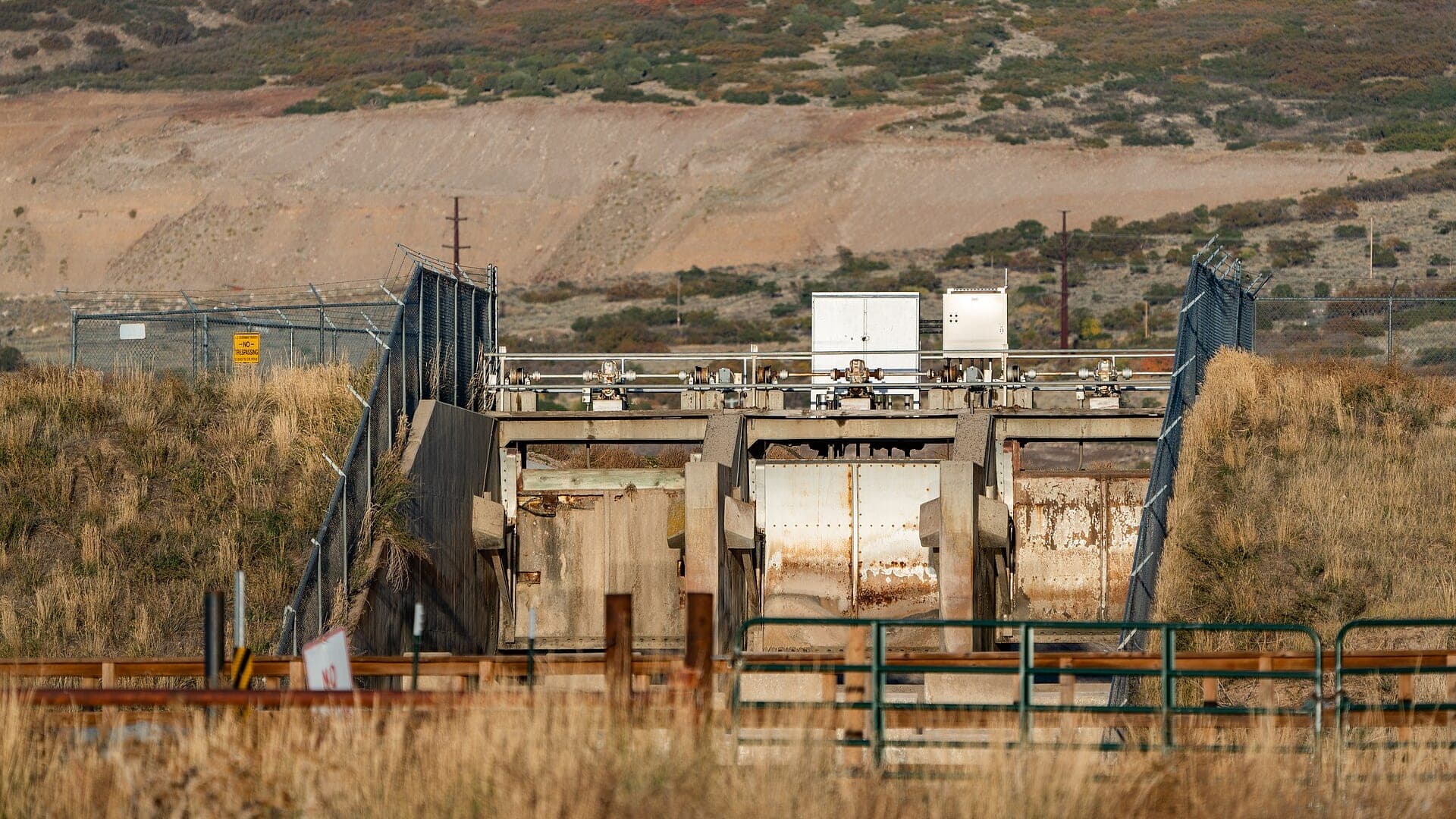
- - Use release and flow sources carefully on the Green and other controlled rivers.
- - Respect private land and stream-access complexity on pressured corridors.
- - Watch snow, runoff, fire, and road access for Uinta and mountain water.
Utah pages should be strong on public access and flow context because anglers often need to know where they can legally and practically fish.
Best starting points
First reports to open in Utah
These are not rankings. They are quick starting points from the current inventory, chosen to help you compare water types, access, and source coverage before drilling into the full list.
Upper Duchesne River and Tabiona gauge corridor
Duchesne River
A Duchesne River report for the upper river and Tabiona gauge context, with access, runoff timing, trout tactics, and Utah source checks.
Open report
Green River below Flaming Gorge Dam, A/B/C section planning, and Greendale gauge context
Green River
A Green River report for the Flaming Gorge tailwater and Greendale gauge, with sections, flows, hatches, boat logistics, and source checks.
Open report
Middle Provo near Heber City, with lower-river context checked separately
Provo River
A Provo River report centered on the Middle Provo and Heber Valley flow context, with hatches, access, tactics, and Utah source checks.
Open report
Upper Weber River, Oakley, Holiday Park to Echo context, and public access research
Weber River
A Weber River report for the upper river and Oakley/Echo flow context, with access-law cautions, hatches, flies, and planning notes.
Open report
Yellowstone Creek in Duchesne County and the upper Yellowstone drainage
Yellowstone Creek
A Utah Uinta drainage report for Yellowstone Creek, built around corrected Duchesne County location data, downstream USGS flow context, Ashley National Forest access, and current Utah DWR rule checks.
Open report
Blacksmith Fork Canyon from the first SR-101 bridge at the canyon mouth upstream through the Hardware WMA corridor
Blacksmith Fork River
A Blacksmith Fork River report for anglers planning the Blacksmith Fork Canyon and Hardware WMA reach with live flow checks, special-rule reminders, and realistic northern Utah trout guidance.
Open report
Seasons
How to think about timing
The best season changes by elevation, runoff, regulation, water temperature, hatch timing, and access. Use these notes as planning prompts, then confirm the individual river page and current official sources before fishing.
Spring
Pre-runoff can be good, but rising snowmelt can shut down wading. See Duchesne River.
Summer
Post-runoff into early summer is usually the best freestone window. See Duchesne River.
Fall
Cooler water, clear flows, and careful nymph or terrestrial fishing. See Duchesne River.
Winter
Limited, weather-dependent nymphing in slower water. See Duchesne River.
Early summer
Often the best blend of cool water, clearing flows, and active trout once runoff settles. See Yellowstone Creek.
Hatches
Hatch windows and fly planning
Hatch charts on BlueStreamFly are practical planning notes, not live bug reports. They help you pack flies and choose a starting tactic, then the actual river conditions should make the final decision.
April to May / Duchesne River
Pre-runoff midges, BWOs, early caddis, and nymph windows
BWO emerger, zebra midge, caddis pupa, pheasant tail, perdigon
June to July / Duchesne River
Post-runoff caddis, PMDs, golden stones, drakes where present, and attractors
Chubby Chernobyl, PMD, caddis dry, stonefly nymph, hare's ear
Winter / Green River
Midges, scuds, sowbugs, tiny mayflies, and slow tailwater trout
Zebra midge, scud, sowbug, BWO nymph, small leech
March to May / Green River
BWOs, midges, caddis, worms after bumps, and early streamer windows
BWO emerger, midge cluster, caddis pupa, San Juan worm, sculpin
Late April to May / Yellowstone Creek
Midges, BWOs, early caddis, and short pre-runoff nymph windows
Zebra midge, BWO emerger, pheasant tail, hare's ear, caddis pupa
Rules, access, and sources
Check the official path before you fish.
Regulations, closures, access, stocking, water temperature, and releases can change faster than a static page. Every river report should be treated as a planning page that points you back to current official sources.
Gauge examples
USGS 09292000 Yellowstone River at Bridge Campground downstream context, RiverReports chart with USGS 10113500 above the Utah Power and Light diversion dam as the official backstop, RiverReports with USGS 10109000 near Logan as the official flow backstop, and RiverReports with USGS 09330000 near Bicknell as the official flow backstop.
Regulations
Utah DWR fishing information
Open source page
Regulations
Utah DWR guidebooks and fishing rules
Open source page
Access
Utah DWR stream access guidance
Open source page
Access
Utah DWR Fish Utah map
Open source page
Flow
RiverReports Duchesne River near Tabiona
Open source page
Flow
USGS 09277500 Duchesne River near Tabiona
Open source page
Safety and weather
National Weather Service point near Tabiona
Open source page
Flow
RiverReports Green River near Greendale
Open source page
Full state list
All Utah report pages
Open a specific report for current planning context, nearby water, access notes, regulations, hatches, fly picks, weather, flow checks, and source links.
Utah / West
Duchesne River
Check if Duchesne River is fishable today with live flow context, weather, access, regulations, hatch timing, flies, and source links.
Utah / West
Green River
Check if Green River is fishable today with live flow context, weather, access, regulations, hatch timing, flies, and source links.
Utah / West
Provo River
Check if Provo River is fishable today with live flow context, weather, access, regulations, hatch timing, flies, and source links.
Utah / West
Weber River
Check if Weber River is fishable today with live flow context, weather, access, regulations, hatch timing, flies, and source links.
Utah / West
Yellowstone Creek
Check if Yellowstone Creek is fishable today with live flow context, weather, access, regulations, hatch timing, flies, and source links.

Utah / West
Blacksmith Fork River
Check if Blacksmith Fork River is fishable today with live flow context, weather, access, regulations, hatch timing, flies, and source links.

Utah / Rockies
Logan River
Check if Logan River is fishable today with live flow context, weather, access, regulations, hatch timing, flies, and source links.

Utah / Rockies
Fremont River
Check if Fremont River is fishable today with live flow context, weather, access, regulations, hatch timing, flies, and source links.