Southwest
Texas fly fishing reports
Use this Texas hub to choose a starting river, check flows and weather, compare hatches, and jump into report pages with access, tactics, regulations, and source links.
Texas quick finder
Open the right report first.
Search Texas reports by river, water type, access style, or flow source. Start with a fishability-ready report when one matches the day.
9
reports
8
fishability-ready
Guadalupe River
Canyon Dam tailrace, Sattler, FM 306, and River Road trout-zone context
High confidence (91/100)
San Marcos River
San Marcos city parks, the Martindale leased-access corridor, and the river's clearer upper-to-middle reaches
High confidence (90/100)
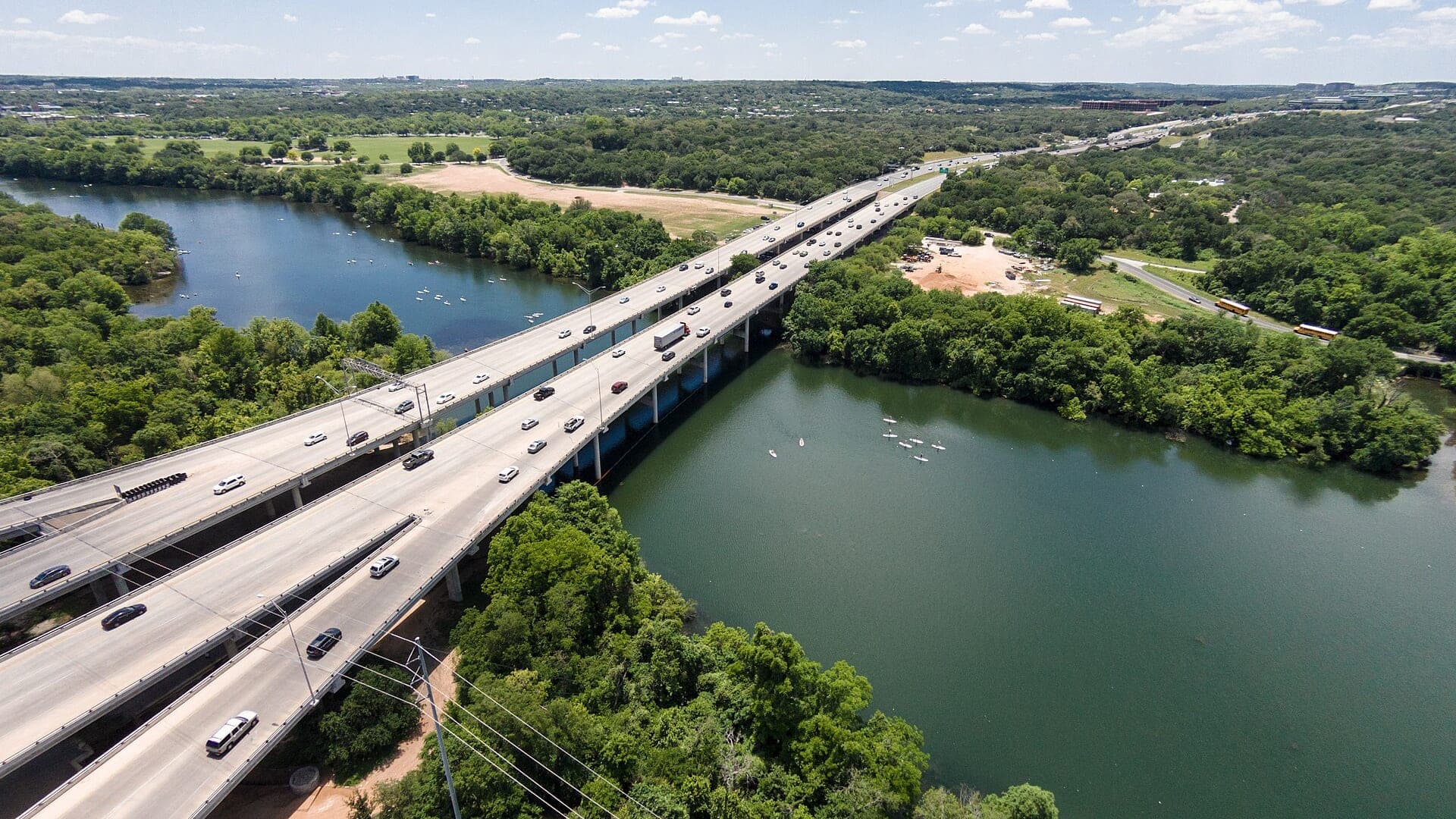
Colorado River Below Austin
Lower Colorado below Austin, Longhorn Dam influence, and Bastrop-Wilbarger planning context
Good confidence (88/100)
Reports
9
Region
Southwest
Fishability-ready
8
Planning focus
Flows, hatches, access
Flow coverage
7 with RiverReports chart coverage, 2 using USGS gauge fallback
BlueStreamFly currently covers 9 Texas fly fishing reports. The list below is organized around real report pages, so the state hub is a fast way to compare watersbefore opening a full river report. Start with the waters that match your trip style, then open the individual page for flow context, weather, hatches, flies, access notes, and source links.
The covered water types include Lower Colorado below Austin, Longhorn Dam influence, and Bastrop-Wilbarger planning context, Canyon Dam tailrace, Sattler, FM 306, and River Road trout-zone context, Bull Creek public park and greenbelt access in northwest Austin, Llano River from the Mason gauge corridor down through Castell, Pedernales Falls State Park and the US 281 to SH 71 corridor anchored by the Johnson City gauge, Upper Medina River from Medina through Bandera, with the Pipe Creek gauge and Bandera access as the main planning anchors, and Georgetown City Park, Blue Hole and trail corridor, then the Laneport gauge reach downstream. Access styles in the current report set include Warmwater river, kayak shuttles, leased access, parks, bridges, and private-bank awareness, Tailwater trout, warmwater crossover, leased access, parks, and private-bank awareness, Urban Hill Country creek with named park entries, short wades, and no assumption of private-bank access, Leased-access warmwater river with bridge-crossing context, float options, and strong private-bank caution, State-park and road-crossing Hill Country river with long private stretches between legal entries, Small Hill Country river with city-park and crossing access, but long private stretches between them, and City-park and low-water-crossing river with public parks up high and quieter downstream bridge access. That mix matters because a float river, a small trout stream, and a tailwater all need different flow, wading, fly, and safety decisions.
Flow checks are part of the planning path. In this state set,7 with RiverReports chart coverage, 2 using USGS gauge fallback. When a report uses a RiverReports chart, the page still keeps official gauge or agency sources where available. When only USGS data is available, the report explains the gauge and the practical planning limits.
Texas currently covers the Guadalupe tailwater and the Colorado River below Austin. That makes the state hub a comparison between a stocked or cold-season trout tailwater and a warmwater urban river system.
A useful Texas fly fishing plan starts with season, target species, access, and water temperature. Trout expectations on the Guadalupe are not the same as bass or warmwater planning near Austin.
Best for
- - Guadalupe River trout-season planning
- - Austin-area warmwater and kayak access checks
- - Anglers comparing tailwater and urban river trips
- - Readers who need leased access, park, and private-bank reminders
Check before you go
- - Check Texas regulations, Guadalupe trout rules, and access details before fishing.
- - Use flow, water temperature, and seasonal stocking or trout-program context before planning the Guadalupe.
- - For the Colorado below Austin, plan around warmwater species, kayak logistics, parks, and private banks.
- - Expect summer heat to change safe and ethical trout expectations quickly.
Texas hub content should be direct about target species and season because trout and warmwater searches have different intent.
Best starting points
First reports to open in Texas
These are not rankings. They are quick starting points from the current inventory, chosen to help you compare water types, access, and source coverage before drilling into the full list.
Lower Colorado below Austin, Longhorn Dam influence, and Bastrop-Wilbarger planning context
Colorado River Below Austin
A warmwater report for the Colorado River below Austin, focused on bass, flows, public access planning, fly choices, and heat-aware safety.
Open report
Canyon Dam tailrace, Sattler, FM 306, and River Road trout-zone context
Guadalupe River
A Guadalupe River report for the Canyon Dam tailrace and Sattler area, with trout-zone rules, flow checks, fly tactics, and access cautions.
Open report
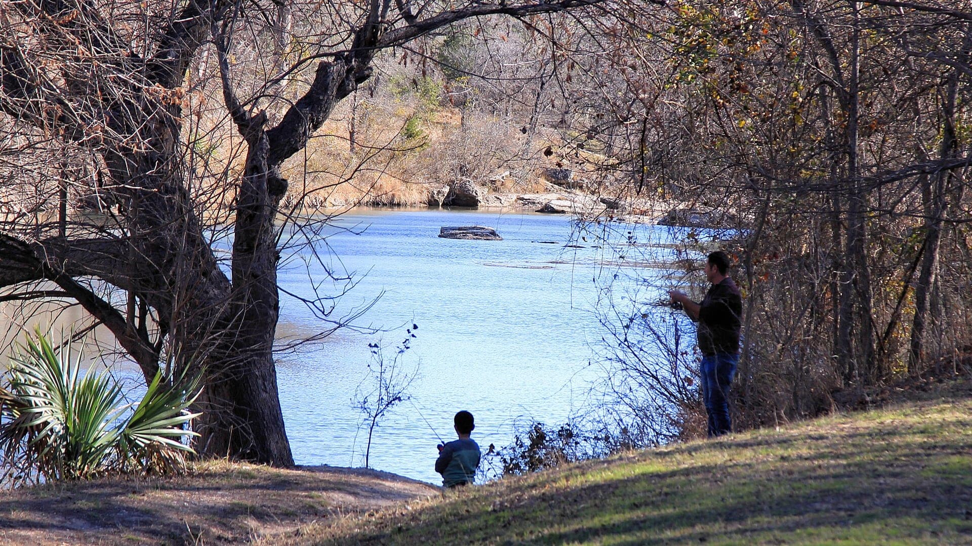
Bull Creek public park and greenbelt access in northwest Austin
Bull Creek
A Bull Creek report for anglers planning Austin's named public greenbelt and district-park access, with live gauge context, warmwater tactics, and realistic skip signals.
Open report
Llano River from the Mason gauge corridor down through Castell
Llano River
A Llano River report for anglers planning the Mason-to-Castell corridor with live flow context, leased-access specifics, bass tactics, and realistic skip signals.
Open report
Pedernales Falls State Park and the US 281 to SH 71 corridor anchored by the Johnson City gauge
Pedernales River
A Pedernales River report for anglers planning the Johnson City and Pedernales Falls corridor with live flow checks, public-access limits, and realistic warmwater fly guidance.
Open report
Upper Medina River from Medina through Bandera, with the Pipe Creek gauge and Bandera access as the main planning anchors
Medina River
A Medina River report for anglers planning the Medina-to-Bandera corridor with live flow checks, public park guidance, and practical warmwater fly tactics.
Open report
Seasons
How to think about timing
The best season changes by elevation, runoff, regulation, water temperature, hatch timing, and access. Use these notes as planning prompts, then confirm the individual river page and current official sources before fishing.
Spring
Warming water brings stronger bass movement and better streamer or crawfish windows. See Colorado River Below Austin.
Summer
Early and late topwater can be good; midday heat is often a safety and comfort problem. See Colorado River Below Austin.
Fall
Cooling water and baitfish movement make streamer fishing more reliable. See Colorado River Below Austin.
Winter
Slow down in deeper water and pick mild stable-weather days. See Colorado River Below Austin.
Early summer
Best for dawn topwater or light streamer windows before heat and park traffic take over. See Bull Creek.
Hatches
Hatch windows and fly planning
Hatch charts on BlueStreamFly are practical planning notes, not live bug reports. They help you pack flies and choose a starting tactic, then the actual river conditions should make the final decision.
March to May / Colorado River Below Austin
Warming bass water, minnows, crayfish, caddis, and bank insects
Clouser, crayfish, swimming nymph, small popper, baitfish streamer
June to August / Colorado River Below Austin
Early and late topwater windows, cicadas, hoppers, shad, and bluegill forage
Foam popper, slider, deer-hair diver, shad streamer, crawdad
December to February / Guadalupe River
Stocked trout, midges, tiny nymphs, scuds, and clear tailwater drifts
Zebra midge, scud, pheasant tail, small egg, micro bugger
March to May / Guadalupe River
Midges, caddis, small mayflies, warmwater baitfish, and bass activity
Midge pupa, caddis pupa, BWO emerger, small streamer, crayfish
March-May / Bull Creek
Small baitfish, crawfish movement, and mixed spring aquatic insects
Olive streamer, small craw pattern, black bugger, rubber-leg nymph
Rules, access, and sources
Check the official path before you fish.
Regulations, closures, access, stocking, water temperature, and releases can change faster than a static page. Every river report should be treated as a planning page that points you back to current official sources.
Gauge examples
RiverReports chart with USGS 08154700 at Loop 360 as the official backstop, RiverReports chart with USGS 08150700 near Mason as the official backstop, RiverReports chart with USGS 08153500 as the official backstop, RiverReports chart with USGS 08180700 as the official backstop, RiverReports chart with USGS 08105700 at Laneport as the official backstop, and RiverReports chart with USGS 08170500 at San Marcos as the official backstop.
Access
TPWD River Fishing in Texas
Open source page
Access
TPWD Bastrop-Wilbarger Paddling Trail
Open source page
Access
TPWD Texas River School leased access
Open source page
Flow
USGS 08158000 Colorado River at Austin
Open source page
Flow
USGS 08159200 Colorado River at Bastrop
Open source page
Safety and weather
National Weather Service point below Austin
Open source page
Regulations
TPWD Guadalupe River trout stocking
Open source page
Regulations
TPWD Guadalupe River fishing regulations
Open source page
Full state list
All Texas report pages
Open a specific report for current planning context, nearby water, access notes, regulations, hatches, fly picks, weather, flow checks, and source links.
Texas / Southwest
Colorado River Below Austin
Check if Colorado River Below Austin is fishable today with live flow context, weather, access, regulations, hatch timing, flies, and source links.
Texas / Southwest
Guadalupe River
Check if Guadalupe River is fishable today with live flow context, weather, access, regulations, hatch timing, flies, and source links.

Texas / Southwest
Bull Creek
Check if Bull Creek is fishable today with live flow context, weather, access, regulations, hatch timing, flies, and source links.

Texas / Southwest
Llano River
Llano River fly fishing report for Mason, Texas with RiverReports flow support, TPWD access guidance, warmwater tactics, weather, and safety checks.

Texas / Southwest
Pedernales River
Check if Pedernales River is fishable today with live flow context, weather, access, regulations, hatch timing, flies, and source links.

Texas / Southwest
Medina River
Check if Medina River is fishable today with live flow context, weather, access, regulations, hatch timing, flies, and source links.

Texas / Southwest
San Gabriel River
Check if San Gabriel River is fishable today with live flow context, weather, access, regulations, hatch timing, flies, and source links.

Texas / Southwest
San Marcos River
Check if San Marcos River is fishable today with live flow context, weather, access, regulations, hatch timing, flies, and source links.

Texas / Southwest
Colorado River
Check if Colorado River is fishable today with live flow context, weather, access, regulations, hatch timing, flies, and source links.