Texas / Southwest
Colorado River Below Austin
A warmwater report for the Colorado River below Austin, focused on bass, flows, public access planning, fly choices, and heat-aware safety.
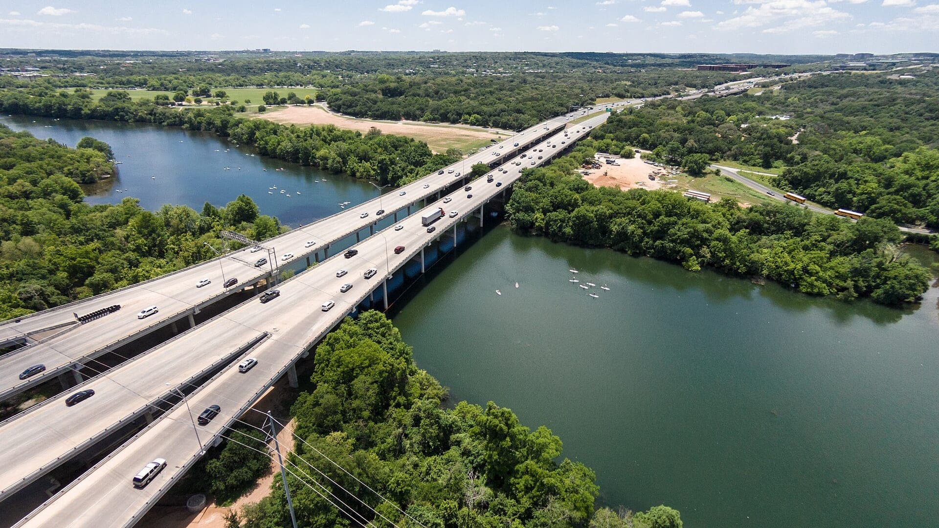
Image: Paddleboarders below MoPac - Colorado River Austin Texas / CC BY-SA 2.0 / Lars PlougmannFishability now: Colorado River Below Austin fishability today
GoodData confidence: High78/100
Fishable now because Austin gauge is rising, weather is usable, and no public alert is active.
Flow observed
4:50 PM UTC
Weather observed
5:00 PM UTC
Score calculated
5:25 PM UTC
Why this rating
Flow
Weather
Public alerts
Next 6-12 hours
Watch
Recheck within the next few hours; rising water or active weather can change clarity and wading quickly.
USGS flow
320 cfs
Current trend: flow rising, rating can drop quickly if clarity or wading safety deteriorates.
More planning details: flies, flow bands, and live source checks
Fish it today
Start here
Start with the Austin gauge, then compare the Bastrop trend and TPWD access pages. Pick one legal access sequence, fish shade and current early, carry water, and keep a shorter bank plan ready if wind or heat makes a float unattractive.
Best flow clue
Use USGS 08158000 at Austin for the immediate below-city trend and USGS 08159200 at Bastrop for downstream context. Stable or gently moving warmwater flows are easier to fish than sudden release changes, flood pulses, or low hot water.
Skip trigger
Skip or shorten the trip when heat index is unsafe, thunderstorms are building, flows are rising, the shuttle is not confirmed, or the only plan depends on crossing or using private banks.
Flow decision bands
Stable warmwater flow
Stable Austin flow with workable downstream context is the best signal for bass, sunfish, shade lines, wood, bridge edges, and outside bends.
Best float or bank window
Mild weather, confirmed access, manageable wind, and no sharp release or storm pulse make the lower Colorado easiest to fish.
Flood pulse or muddy water
Rising water, post-storm stain, pushy current, or uncertain takeouts should shorten the plan or move it elsewhere.
Heat or shuttle issue
Unsafe heat index, long exposed floats, wind, private-bank limits, or an unconfirmed shuttle can make the river a poor call even when flow is fishable.
USGS flow
320 cfs
Current trend: flow rising, rating can drop quickly if clarity or wading safety deteriorates.
Live USGS flow
320 cfs / rising about 50%
Live NWS forecast
85F / Partly Sunny
Water temperature not verified
Heat guidance uses weather and river type unless an official water-temperature value is available.
No NWS alert flag
No active NWS alert was returned for this forecast point.
Use the Austin and Bastrop USGS gauges to understand release and downstream trend.
Poppers and baitfish patterns make the most sense early, late, and around shade.
Crawfish and hellgrammite-style flies are useful when bright sun pushes fish down.
Use official TPWD access pages and do not assume private banks are open.
Editorial review
How this report is maintained
This report is maintained from current regulation, access, flow, weather, and public planning sources so anglers can make better trip decisions than a raw gauge or generic overview would allow.
Byline
BlueStreamFly editorial team
Reviewed by
BlueStreamFly source review
Maintained by
Mountain Brook Run LLC
Last material review
2026-06-01
Report confidence
Good confidence
88/100
Good confidence: TPWD access resources, Texas River School leased-access context, USGS Austin and Bastrop flow, weather coverage, verified media, and route-specific warmwater guidance support the page. Confidence is moderated by private-bank limits, leased-access terms, urban recreation, heat, shuttles, and reach-to-reach flow changes.
Regulations
TPWD statewide freshwater and river resources support the current legal-check path, with local access terms still requiring confirmation.
Access
TPWD paddling and leased-access resources give practical public planning anchors for the below-Austin and Bastrop corridor.
Flow and weather
USGS 08158000 at Austin, USGS 08159200 at Bastrop, and the National Weather Service point provide strong live planning support for flow, weather, storm, and heat decisions.
Fishing usefulness
The page now separates warmwater bass tactics, heat timing, float logistics, private-bank caution, shuttle planning, and backup-water choices.
Fishability dashboard and source review
2026-06-01 / material content or source review
TPWD river access and paddling resources, Texas River School leased-access information, USGS Austin and Bastrop gauges, National Weather Service data, and the Commons media credit were checked before updating the current-fishability decision layer.
2026-06-01
Updated Colorado River below Austin to the current fishability-page standard with Austin and Bastrop flow bands, warmwater access cards, backup cues, stable fishability SEO, and confidence signals.
2026-05-29
Added Colorado River below Austin trip-fit guidance, Austin and Bastrop gauge framing, leased-access reminders, heat-aware warmwater tactics, shuttle planning, backup-water suggestions, editorial review signals, and a page-specific report-confidence meter after source review.
2026-05-24
Initial source-reviewed report published with flows, weather, hatches, flies, tactics, access, regulations, and FAQs.
Angler planning edge
Local details that change the plan
Best for
Warmwater fly anglers planning bass, sunfish, and structure fishing below Austin instead of a trout-style Colorado River trip, Kayak, paddleboard, and bank anglers who need to match flow, access, heat, and shuttle logistics before launching, Early and late topwater sessions around shade, wood, bridge edges, and outside bends, Central Texas anglers who want a source-checked lower Colorado plan with a Guadalupe or San Marcos backup
Wade or float
Treat this as a float, paddle, and selective-bank report first. Some bank fishing can work near legal access, but the better plan is to confirm put-in, takeout, flow, wind, heat, and private-bank limits before choosing flies.
Best flows
Use USGS 08158000 at Austin for the immediate below-city trend and USGS 08159200 at Bastrop for downstream context. Stable or gently moving warmwater flows are easier to fish than sudden release changes, flood pulses, or low hot water.
When to skip
Skip or shorten the trip when heat index is unsafe, thunderstorms are building, flows are rising, the shuttle is not confirmed, or the only plan depends on crossing or using private banks.
Local plan
Start with the Austin gauge, then compare the Bastrop trend and TPWD access pages. Pick one legal access sequence, fish shade and current early, carry water, and keep a shorter bank plan ready if wind or heat makes a float unattractive.
Pressure
Pressure follows easy urban access, weekends, and mild weather. Longer floats can spread people out, but they raise the cost of a missed takeout, low water, or afternoon heat.
Access nuance
TPWD resources give a useful access framework, but this river still has private banks, leased-access terms, local parking limits, and long-shuttle realities. Do not treat sandbars or bridge areas as automatically public.
Backup water
If the lower Colorado is too hot, high, muddy, or access-complicated, compare the Guadalupe River, San Marcos River, or Pedernales River before forcing the same warmwater plan.
About the river
Setting, character, and why it fishes the way it does.
Below Austin, the Texas Colorado River leaves the urban lake chain and becomes a broad warmwater river with banks, bends, sandbars, wood, and long float logistics. It is a different experience than western trout water with the same river name.
The page is scoped to the below-Austin and Bastrop planning corridor because that is where the inventory topic points anglers. TPWD access and paddling information are more useful here than generic statewide fishing text.
Guadalupe bass, largemouth bass, sunfish, catfish, and other warmwater species make this a fly fishing page built around structure, shade, forage, and safe access.
Target species
Guadalupe bass
A key Texas river target around current, rock, shade, and smaller baitfish patterns.
Largemouth bass
More likely around slower edges, wood, backwaters, and shaded banks.
Sunfish
Useful for action and as forage clues; small poppers and nymphs work well.
Catfish and freshwater drum
Part of the warmwater mix; not the core fly target but common enough to mention.
Reading the water
Low clear flow
Use smaller streamers, long casts, and focus on deeper shade and current edges.
Moderate stable flow
Float or wade carefully and cover banks, wood, and gravel transitions.
High or stained water
Avoid unsafe wading and use larger dark streamers from secure positions.
Summer heat
Fish early or late, carry water, and protect fish and yourself from heat stress.
Best seasons
Spring
Warming water brings stronger bass movement and better streamer or crawfish windows.
Summer
Early and late topwater can be good; midday heat is often a safety and comfort problem.
Fall
Cooling water and baitfish movement make streamer fishing more reliable.
Winter
Slow down in deeper water and pick mild stable-weather days.
USGS flow
Colorado River at Austin
This is the fallback for rivers that are not covered by RiverReports. Use the official USGS monitoring page for the live hydrograph, station metadata, and current water trend.
Open USGS gaugeUSGS data chart
Colorado River at Austin
Streamflow over the latest USGS reporting window.
Latest
320 cfs
Jun 3, 4 PM UTC
Weather
River weather report
Weather can change wading safety, road access, water temperature, hatches, and the best time of day to fish.
Live forecast loads as you reach this section
This keeps the report fast while still using the official National Weather Service forecast point.
Hatches and flies
Hatch chart and fly picks
March to May
Warming bass water, minnows, crayfish, caddis, and bank insects
Clouser, crayfish, swimming nymph, small popper, baitfish streamer
June to August
Early and late topwater windows, cicadas, hoppers, shad, and bluegill forage
Foam popper, slider, deer-hair diver, shad streamer, crawdad
September to November
Cooling water, shad movement, crayfish, and steady streamer fishing
Baitfish streamer, crayfish, hellgrammite, olive bugger, soft hackle
December to February
Slow warmwater days, deep pools, midges, and limited trout context on tailwaters
Small streamer, crawfish, midge, zebra midge, soft hackle
Topwater
Poppers, sliders, foam divers, cicadas, hoppers
Use early, late, and around shade when bass are willing to move up.
Streamers
Clouser, shad streamer, small baitfish, olive bugger, articulated minnow
Use along current edges, wood, bridge shade, and deeper outside bends.
Bottom flies
Crayfish, hellgrammite, jig bugger, carp nymph, small leech
Use when bright sun or cold fronts push fish tight to bottom structure.
Tactics
How to fish it
Start with topwater near shade before the sun gets high.
Switch to baitfish streamers on current edges, bridge shade, wood, and outside bends.
Use crawfish and hellgrammite patterns when fish hold close to bottom.
Plan floats around official access, takeouts, heat, and wind rather than mileage alone.
Do not publish or follow private-bank shortcuts unless access is clearly allowed.
Rigging
Rod, leader, and setup notes
A 6 or 7-weight with floating line handles most bass flies.
Carry short leaders with 0X to 2X for poppers and streamers.
Bring a sink-tip or weighted flies for deeper bends if floating.
Use a PFD in boats and carry enough water for hot, slow floats.
Access
Access and planning notes
Austin gauge
Immediate below-city trendWade / float / trail
USGS gauge / warmwater
When to pick it
Start here when flow direction and flood risk decide whether a city-to-downstream plan makes sense.
Caution
The gauge does not replace takeout, parking, lease, or private-bank checks.
Bastrop downstream context
Float and reach comparisonWade / float / trail
USGS gauge / downstream check
When to pick it
Use it when the plan extends beyond the immediate Austin corridor.
Caution
Downstream context can differ from the put-in reach after storms or releases.
TPWD and leased-access planning
Legal access and shuttleWade / float / trail
Paddle / bank / float
When to pick it
Pick this before committing to a put-in, takeout, bank plan, or shuttle.
Caution
Do not assume bridge areas, sandbars, or private banks are available.
Official access and leased access details can change; verify before driving.
Do not assume sandbars, roads, or banks are public.
Heat and long shuttles are real constraints on this page.
Regulations
Check before fishing
Check TPWD freshwater rules, river access guidance, and any local access terms before fishing or floating.
Primary base
Austin, Bastrop, or east Travis County
Best day style
Warmwater river, kayak shuttles, leased access, parks, bridges, and private-bank awareness
Check first
USGS flow, TPWD access pages, heat, storms, reservoir releases, and shuttle logistics
Safety
Heat, boats, changing releases, private land, long floats, and limited shade
Gear
Helpful gear for this water
Six or seven-weight rod
Handles poppers, baitfish flies, wind, and bass current.
Floating line
Covers most popper, streamer, and crayfish work on Texas rivers.
Wading staff or kayak PFD
Important around changing flows, boats, and slick limestone.
Sun and heat plan
Carry water, sun protection, and a plan for hot afternoons.
Access backup
Private land, reservations, and river level can change the day fast.
Nearby water
Other water to research
Backup logic
High or muddy water
Compare Guadalupe River, San Marcos River, or Pedernales River rather than forcing a poor-visibility float.
Heat
Fish early or late, shorten the route, or pick a safer warmwater option.
Shuttle or access issue
Use only a confirmed legal put-in and takeout or switch to a simpler bank plan.
Wind or storms
Avoid long exposed paddles and choose a shorter protected reach or another river.
Guadalupe River
Texas tailwater trout and warmwater fishing below Canyon Dam.
San Marcos River
A clear Central Texas warmwater river to research next.
Pedernales River
A Hill Country warmwater option when access and flows line up.
FAQ
Fast answers
Is Colorado River Below Austin fishable today?
Colorado River Below Austin looks fishable right now. The live score is 78/100, based on current flow, weather, public alerts, and the report's planning context. Recheck the linked gauge and forecast before leaving because conditions can change quickly after rain, heat, access changes, or flow swings.
What flow is best for Colorado River Below Austin?
Use USGS 08158000 at Austin for the immediate below-city trend and USGS 08159200 at Bastrop for downstream context. Stable or gently moving warmwater flows are easier to fish than sudden release changes, flood pulses, or low hot water.
When should I skip Colorado River Below Austin?
Skip or shorten the trip when heat index is unsafe, thunderstorms are building, flows are rising, the shuttle is not confirmed, or the only plan depends on crossing or using private banks.
Is Colorado River Below Austin safe to wade right now?
The fishability score is not a wading guarantee. Wade only where your chosen access has safe edges, clear footing, legal entry, and no forced crossings; high, rising, stained, or storm-affected water should be treated conservatively.
What should I check first before fishing Colorado River Below Austin?
Check USGS Austin and Bastrop gauges, TPWD access pages, weather, heat, and shuttle logistics.
Where should a first-time visitor start on Colorado River Below Austin?
Start with official TPWD access and paddling information around below-Austin and Bastrop reaches.
Can I wade Colorado River Below Austin?
Sometimes near access points and low water, but much of the river fishes better from a kayak or boat.
What flies should I bring for Colorado River Below Austin?
Bring the seasonal fly box, then adjust size, weight, and color to the water level, clarity, temperature, and fishing pressure you find.
Sources
Source set for this report
Reviewed 2026-06-01