Northeast
Massachusetts fly fishing reports
Use this Massachusetts hub to choose a starting river, check flows and weather, compare hatches, and jump into report pages with access, tactics, regulations, and source links.
Massachusetts quick finder
Open the right report first.
Search Massachusetts reports by river, water type, access style, or flow source. Start with a fishability-ready report when one matches the day.
6
reports
6
fishability-ready
Swift River
Route 9, Cady Lane, and West Ware tailwater context
High confidence (91/100)
Deerfield River
Upper Deerfield from Fife Brook Dam through River Road and the Hoosac Tunnel bridge area near Charlemont
High confidence (91/100)
Deerfield River
Lower Deerfield from Pelham Brook and the Mohawk area downstream through the broader West Deerfield corridor
Good confidence (89/100)
Reports
6
Region
Northeast
Fishability-ready
6
Planning focus
Flows, hatches, access
Flow coverage
4 with RiverReports chart coverage, 2 using USGS gauge fallback
BlueStreamFly currently covers 6 Massachusetts fly fishing reports. The list below is organized around real report pages, so the state hub is a fast way to compare watersbefore opening a full river report. Start with the waters that match your trip style, then open the individual page for flow context, weather, hatches, flies, access notes, and source links.
The covered water types include Essex River marsh, channels, flats, and town landing context, Bearsden, Orange, Wendell, Millers Falls, and Erving planning, Route 9, Cady Lane, and West Ware tailwater context, East Branch, West Branch, and Huntington flow context, Upper Deerfield from Fife Brook Dam through River Road and the Hoosac Tunnel bridge area near Charlemont, and Lower Deerfield from Pelham Brook and the Mohawk area downstream through the broader West Deerfield corridor. Access styles in the current report set include Tidal bank, kayak, skiff, and resident-limited launch planning, Roadside, trail, town, and mixed trout-warmwater river access, Technical wading, clear water, short public-access windows, and crowded pullouts, Roadside freestone, state-park, WMA, and rugged branch access, Roadside pull-offs, named dam access, and boat or wade days shaped by release timing, and Walk-in state-forest access, roadside scouting, and float-friendly lower-river planning. That mix matters because a float river, a small trout stream, and a tailwater all need different flow, wading, fly, and safety decisions.
Flow checks are part of the planning path. In this state set,4 with RiverReports chart coverage, 2 using USGS gauge fallback. When a report uses a RiverReports chart, the page still keeps official gauge or agency sources where available. When only USGS data is available, the report explains the gauge and the practical planning limits.
Massachusetts on BlueStreamFly mixes technical tailwater trout, freestone trout and warmwater rivers, and tidal salt-influenced access. That makes the state hub useful for sorting trip type before choosing a report.
The Swift, Millers, Westfield, and Essex reports each solve a different problem: clear-water trout tactics, freestone flows, branch selection, or tidal access and wind.
Best for
- - Technical tailwater trout planning on the Swift
- - Freestone trout and mixed river planning on the Millers and Westfield
- - Tidal kayak or skiff checks around the Essex
- - New England anglers comparing small-state water types quickly
Check before you go
- - Check Massachusetts regulations and any stocked, special, or seasonal reach details before fishing.
- - Use water temperature carefully in summer, especially away from cold tailwater influence.
- - For tidal water, add tide, wind, ramp, and safety checks to the normal river plan.
- - Expect popular technical trout water to require lighter tactics and more patience.
Massachusetts pages should keep both trout regulation and tidal/weather planning visible because the covered waters are not all freshwater trout streams.
Best starting points
First reports to open in Massachusetts
These are not rankings. They are quick starting points from the current inventory, chosen to help you compare water types, access, and source coverage before drilling into the full list.
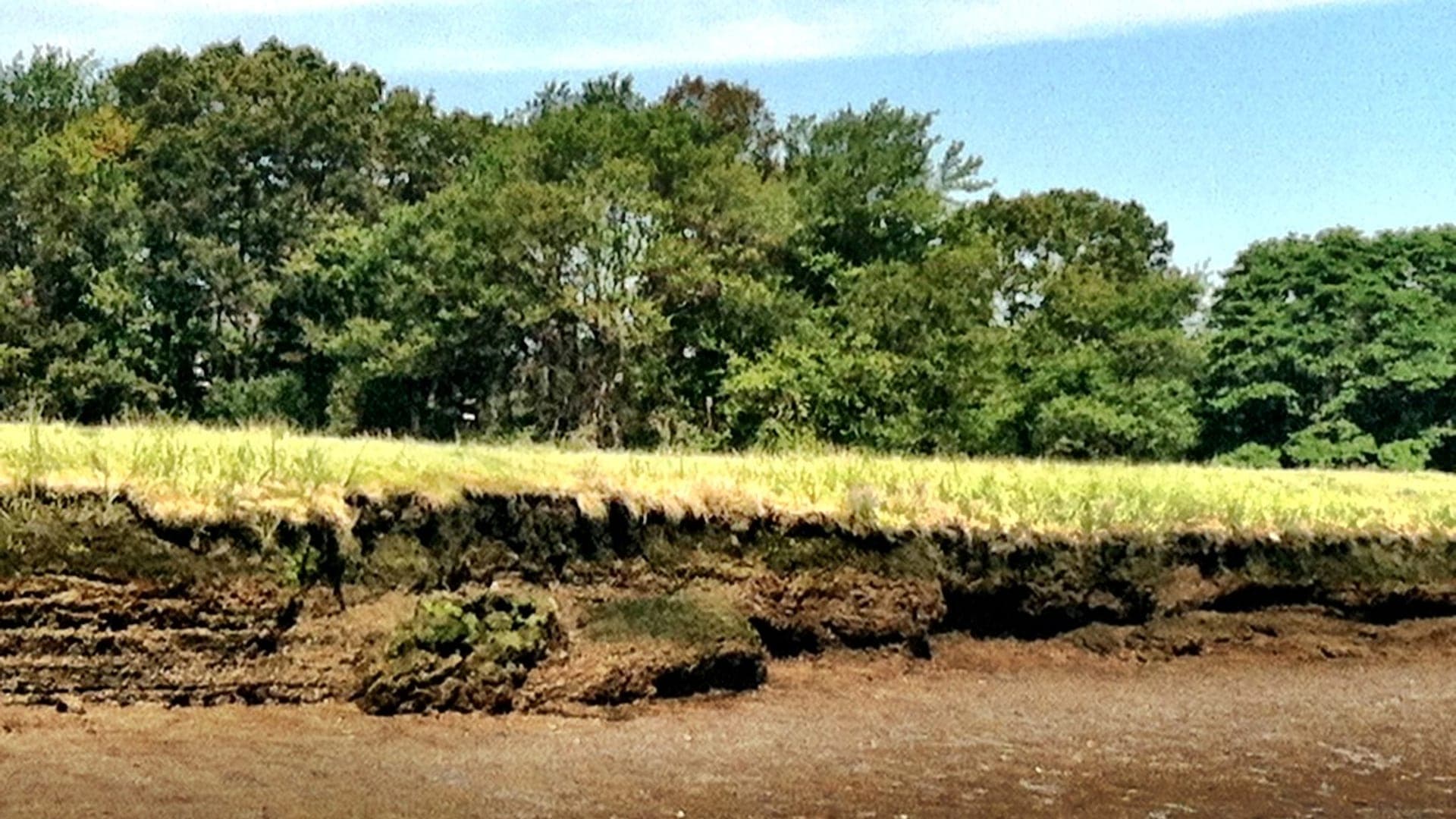
Essex River marsh, channels, flats, and town landing context
Essex River
A tide-first Essex River report for striped bass, marsh channels, launch limits, wind, weather, flies, Massachusetts saltwater rules, and safety.
Open report
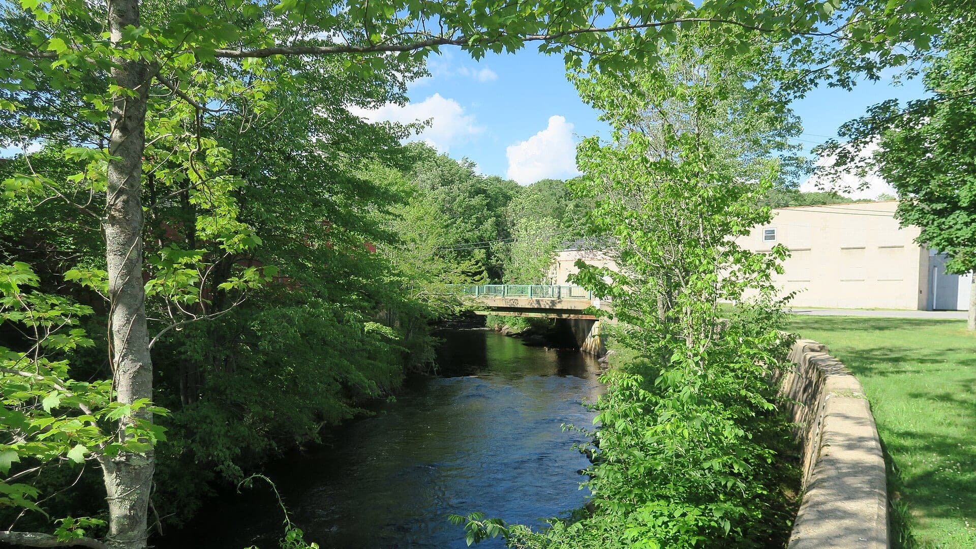
Bearsden, Orange, Wendell, Millers Falls, and Erving planning
Millers River
A Millers River report for Erving flows, upper and lower catch-and-release planning, trout and smallmouth tactics, access, hatches, and rules.
Open report
Route 9, Cady Lane, and West Ware tailwater context
Swift River
A practical Swift River report for Quabbin tailwater flows, tiny-fly trout tactics, seasonal rules, access, hatches, and careful fish handling.
Open report
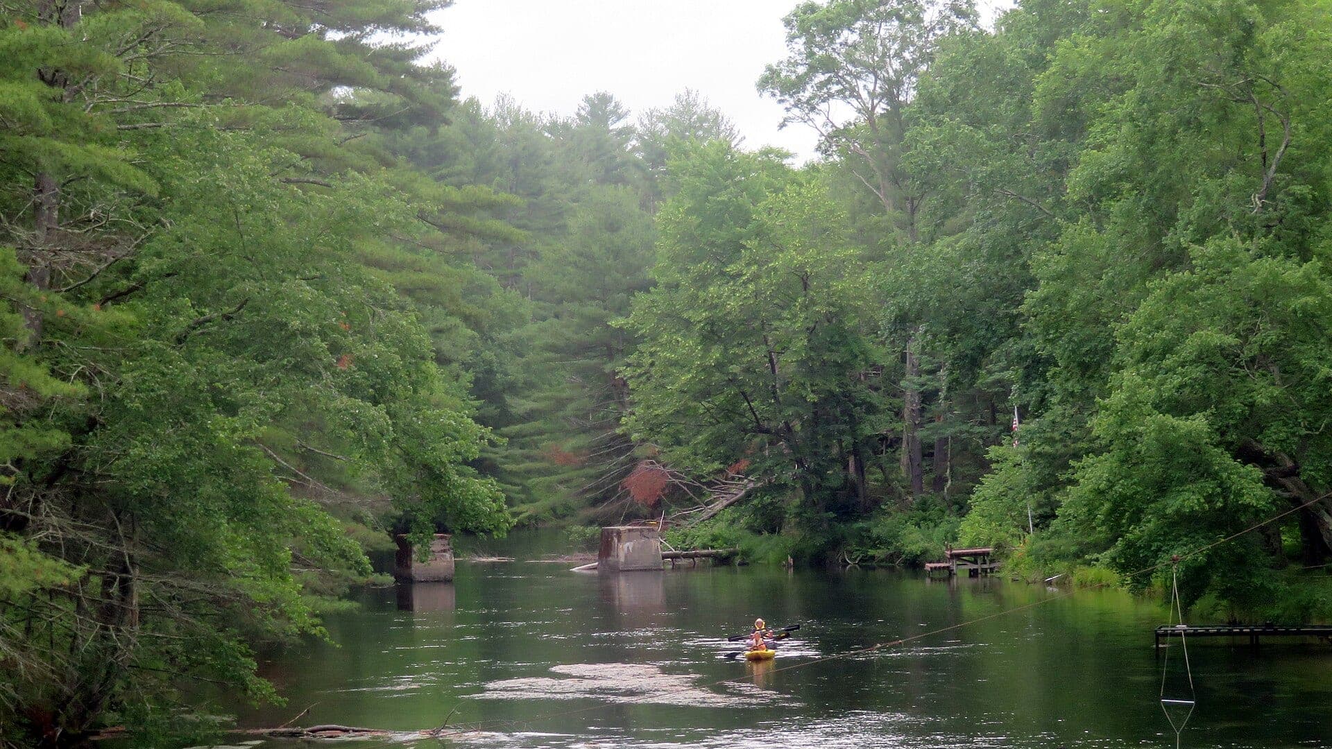
East Branch, West Branch, and Huntington flow context
Westfield River
A Westfield River report for western Massachusetts freestone trout, East Branch access, catch-and-release rules, flow checks, hatches, and safety.
Open report
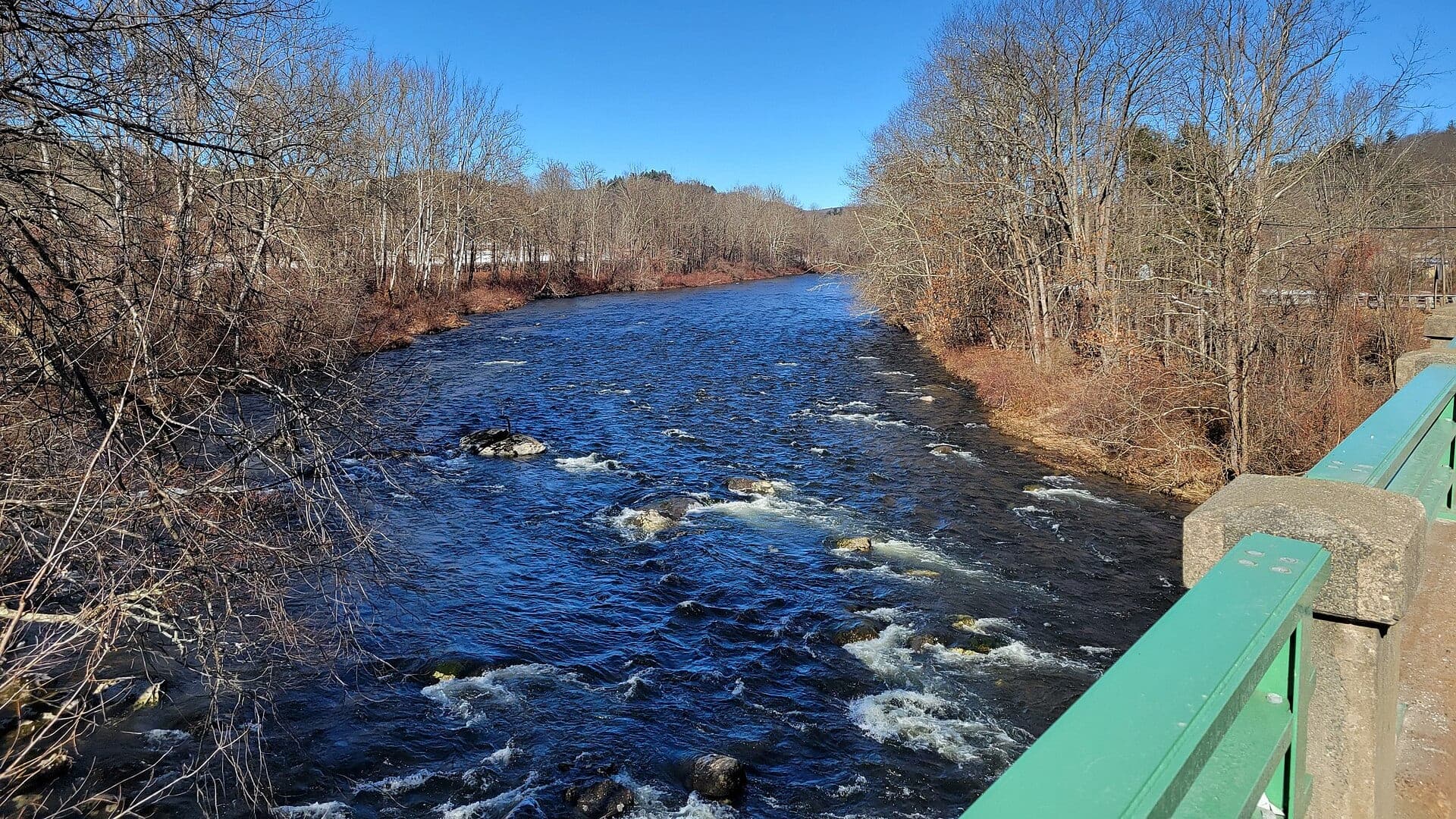
Upper Deerfield from Fife Brook Dam through River Road and the Hoosac Tunnel bridge area near Charlemont
Deerfield River
A Deerfield planning page built around the upper Charlemont tailwater, Fife Brook release awareness, public wading access, and technical trout timing.
Open report
Lower Deerfield from Pelham Brook and the Mohawk area downstream through the broader West Deerfield corridor
Deerfield River
A lower Deerfield planning page for anglers using the West Deerfield gauge corridor, Mohawk and Zoar access context, and a more downstream trout decision than the Charlemont tailwater alone.
Open report
Seasons
How to think about timing
The best season changes by elevation, runoff, regulation, water temperature, hatch timing, and access. Use these notes as planning prompts, then confirm the individual river page and current official sources before fishing.
Late spring
Early striped bass and bait arrival create the first real fly windows. See Essex River.
Summer
Low light, cooler tides, and bait concentration matter most. See Essex River.
Fall
Outgoing tides and bait schools can create the strongest feeds. See Essex River.
Winter
Use the offseason for scouting launches, parking, bars, and channels. See Essex River.
Spring
The most reliable trout window with stocked fish, hatches, and cool water. See Millers River.
Hatches
Hatch windows and fly planning
Hatch charts on BlueStreamFly are practical planning notes, not live bug reports. They help you pack flies and choose a starting tactic, then the actual river conditions should make the final decision.
May to June / Essex River
Herring, silversides, sand eels, early crab and shrimp movement
Clouser minnow, deceiver, flatwing, sand eel, small crab
July to August / Essex River
Silversides, peanut bunker, crabs, shrimp, squid at night
Gurgler, crease fly, shrimp, crab, small bunker pattern
March to April / Millers River
Midges, early black stones, BWOs
Zebra midge, black stonefly nymph, BWO emerger, pheasant tail
April to June / Millers River
Hendricksons, caddis, March Browns, Sulphurs
Hendrickson, elk hair caddis, March Brown, Sulphur comparadun
March to April / Swift River
Midges, early black stones, BWOs, stocked-trout windows
Zebra midge, black stonefly nymph, BWO emerger, pheasant tail
Rules, access, and sources
Check the official path before you fish.
Regulations, closures, access, stocking, water temperature, and releases can change faster than a static page. Every river report should be treated as a planning page that points you back to current official sources.
Gauge examples
RiverReports plus USGS 01168500 at Charlemont and RiverReports plus USGS 01170000 near West Deerfield.
Flow
USGS Essex River at Conomo Point 01104500
Open source page
Flow
NOAA Essex River tide station 8441771
Open source page
Flow
NOAA Essex tide predictions
Open source page
Regulations
Massachusetts recreational saltwater fishing regulations
Open source page
Access
Massachusetts saltwater fishing public access
Open source page
Access
Essex town boat launching information
Open source page
Safety and weather
National Weather Service point forecast
Open source page
Flow
RiverReports Millers River at Erving
Open source page
Full state list
All Massachusetts report pages
Open a specific report for current planning context, nearby water, access notes, regulations, hatches, fly picks, weather, flow checks, and source links.
Massachusetts / Northeast
Essex River
Check if Essex River is fishable today with live flow context, weather, access, regulations, hatch timing, flies, and source links.
Massachusetts / Northeast
Millers River
Check if Millers River is fishable today with live flow context, weather, access, regulations, hatch timing, flies, and source links.
Massachusetts / Northeast
Swift River
Check if Swift River is fishable today with live flow context, weather, access, regulations, hatch timing, flies, and source links.
Massachusetts / Northeast
Westfield River
Check if Westfield River is fishable today with live flow context, weather, access, regulations, hatch timing, flies, and source links.

Massachusetts / Northeast
Deerfield River
Check if Deerfield River is fishable today with live flow context, weather, access, regulations, hatch timing, flies, and source links.

Massachusetts / Northeast
Deerfield River
Check if Deerfield River is fishable today with live flow context, weather, access, regulations, hatch timing, flies, and source links.