Southwest
Arizona fly fishing reports
Use this Arizona hub to choose a starting river, check flows and weather, compare hatches, and jump into report pages with access, tactics, regulations, and source links.
Arizona quick finder
Open the right report first.
Search Arizona reports by river, water type, access style, or flow source. Start with a fishability-ready report when one matches the day.
8
reports
8
fishability-ready
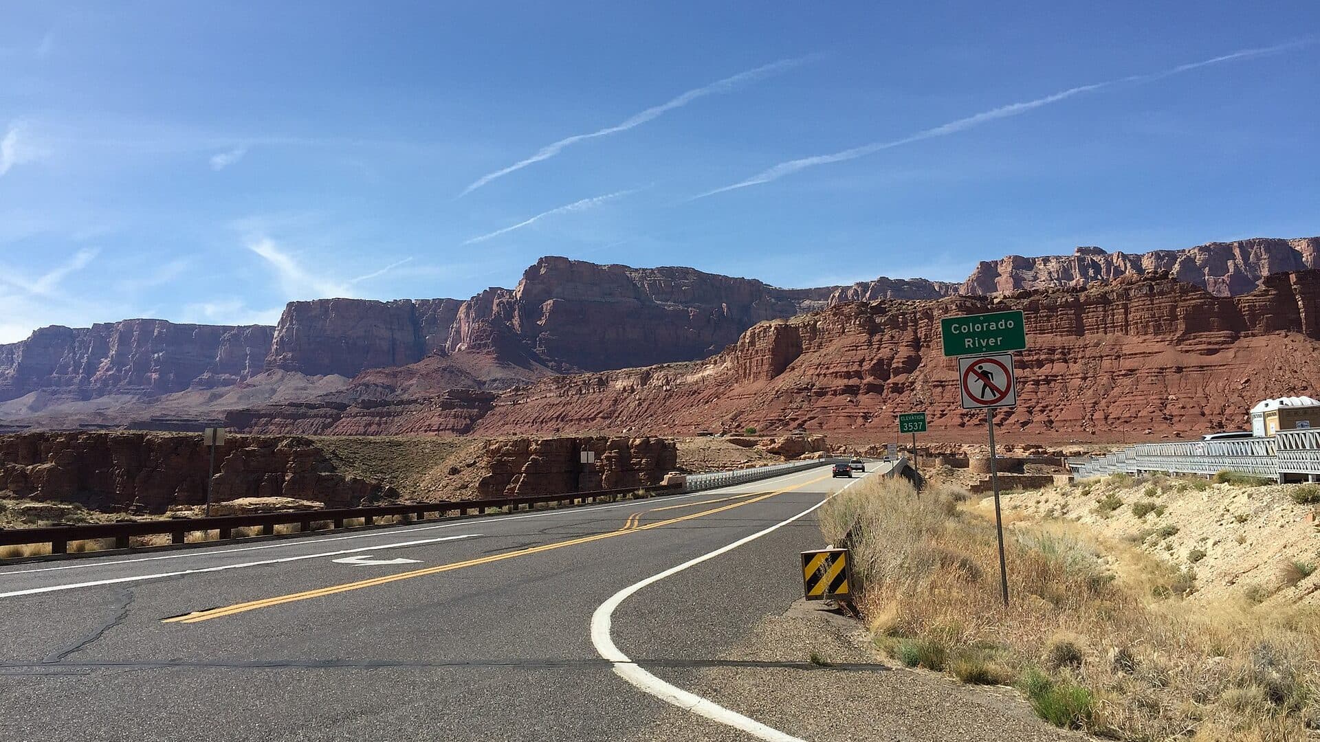
Colorado River
Cold clear tailwater below Glen Canyon Dam
High confidence (86/100)
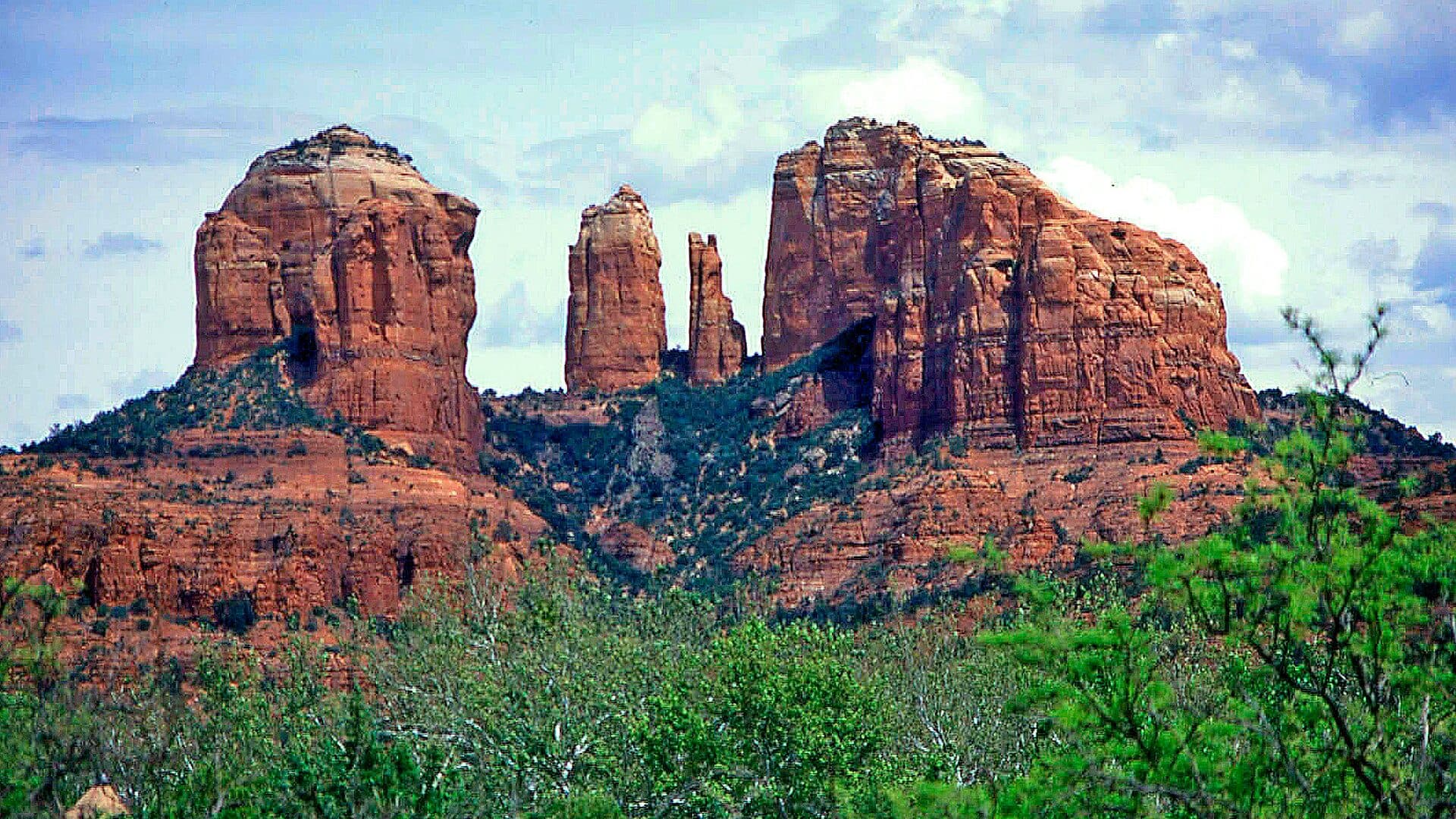
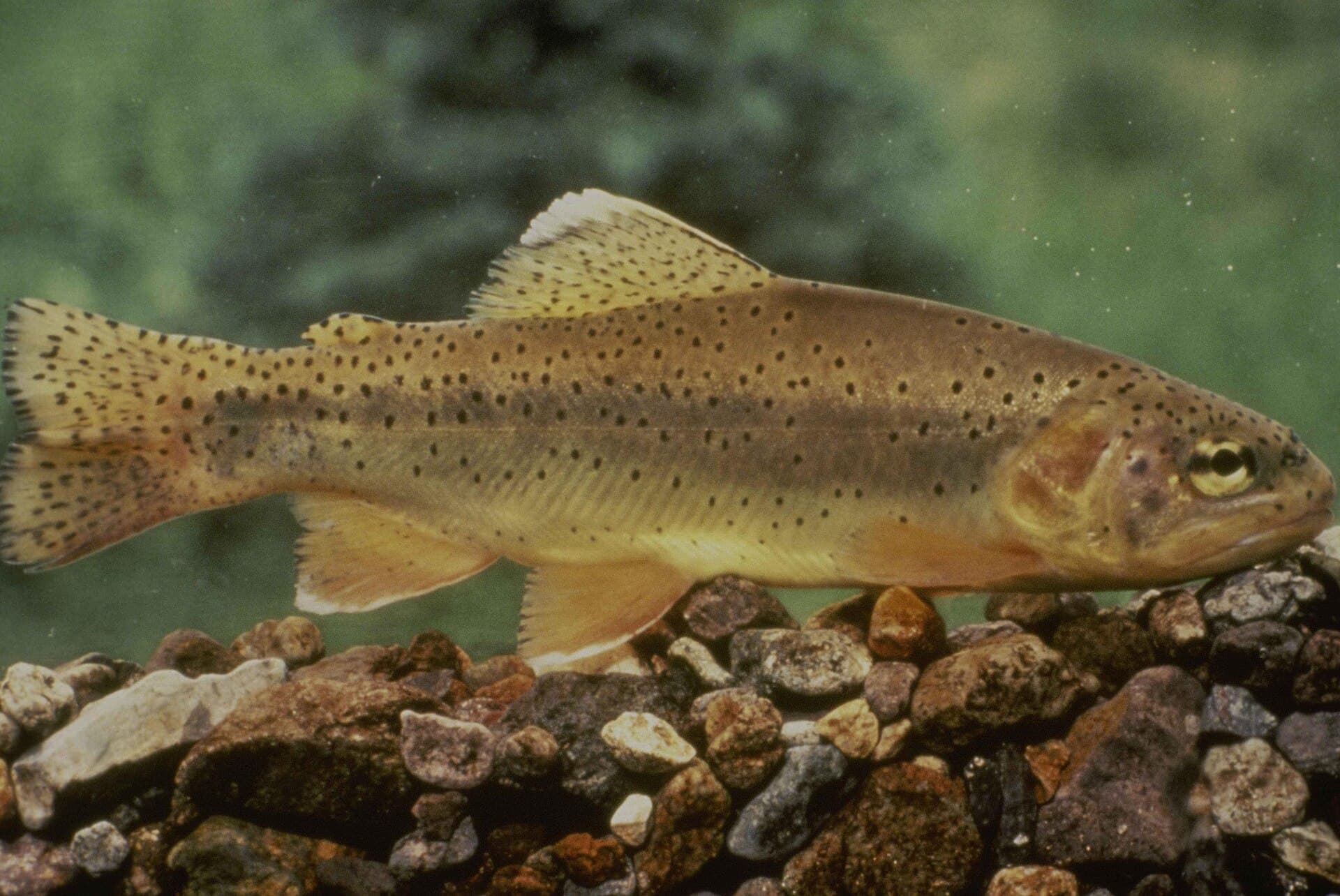
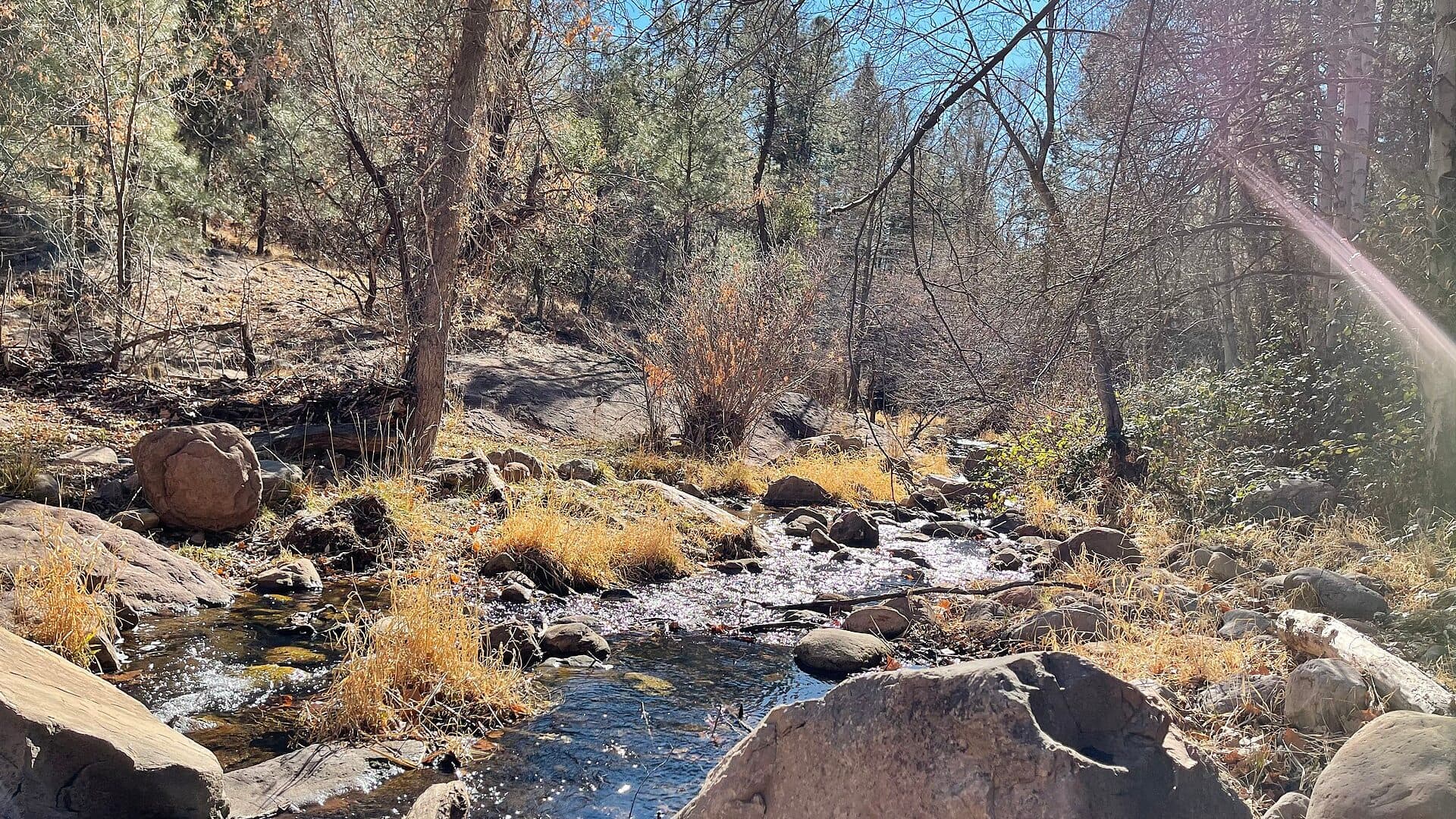
Oak Creek
Scenic canyon trout stream near Sedona
High confidence (85/100)
Little Colorado River
Small high-country trout stream near Greer
High confidence (84/100)
Reports
8
Region
Southwest
Fishability-ready
8
Planning focus
Flows, hatches, access
Flow coverage
6 with RiverReports chart coverage, 1 using USGS gauge fallback, 1 without a verified live gauge
BlueStreamFly currently covers 8 Arizona fly fishing reports. The list below is organized around real report pages, so the state hub is a fast way to compare watersbefore opening a full river report. Start with the waters that match your trip style, then open the individual page for flow context, weather, hatches, flies, access notes, and source links.
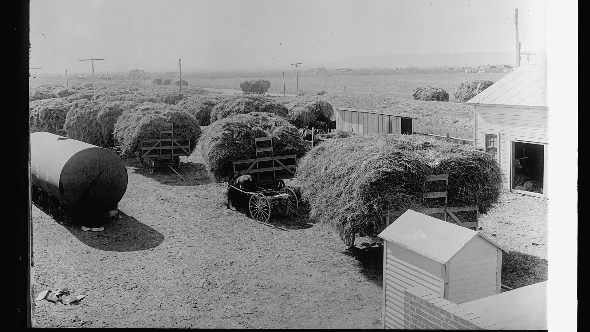
The covered water types include High-country freestone river, Mogollon Rim trout creek, Cold clear tailwater below Glen Canyon Dam, Small high-country trout stream near Greer, Scenic canyon trout stream near Sedona, Lower Salt River below Saguaro Lake, and AZGFD hatchery property trout stream. Access styles in the current report set include Forest-road access with active closure checks. That mix matters because a float river, a small trout stream, and a tailwater all need different flow, wading, fly, and safety decisions.
Flow checks are part of the planning path. In this state set,6 with RiverReports chart coverage, 1 using USGS gauge fallback, 1 without a verified live gauge. When a report uses a RiverReports chart, the page still keeps official gauge or agency sources where available. When only USGS data is available, the report explains the gauge and the practical planning limits.
Arizona fly fishing is split between high-country trout creeks, desert tailwaters, canyon water, and special-property trout water. The state hub helps separate those trip types so an angler does not plan Oak Creek, the Black River, Silver Creek, and Lees Ferry the same way.
Elevation and season matter in Arizona. A summer plan for Rim country, a winter plan for a lower tailwater, and a technical sight-fishing plan on special-regulation water all need different flow, weather, and access checks.
Best for
- - High-country trout trips around the Mogollon Rim and White Mountains
- - Cold tailwater planning below Glen Canyon Dam
- - Small-stream trout days that depend on road and forest access
- - Anglers comparing stocked, wild, and special-regulation opportunities
Check before you go
- - Check Arizona Game and Fish rules for seasonal closures, special regulations, and property-specific requirements.
- - Watch monsoon storms, wildfire closures, snow access, and forest-road conditions before choosing a creek.
- - Use flow and weather together because desert and high-elevation waters can fish very differently on the same day.
- - For Silver Creek and similar managed waters, verify access windows and rules before driving.
Arizona state pages should keep official regulation, forest access, weather, and flow sources close to the fishing advice because access can change by season and land manager.
Best starting points
First reports to open in Arizona
These are not rankings. They are quick starting points from the current inventory, chosen to help you compare water types, access, and source coverage before drilling into the full list.
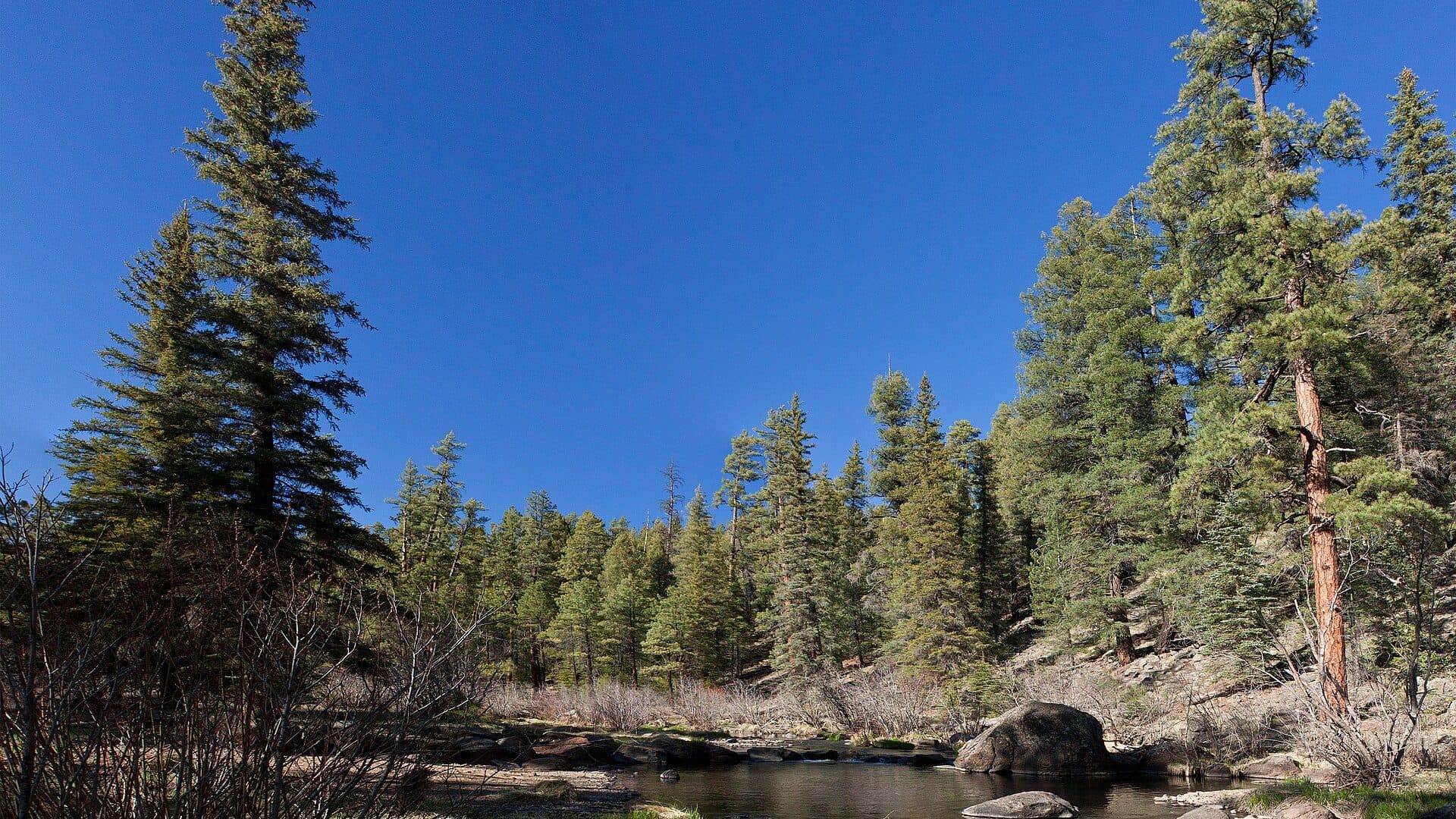
High-country freestone river
Black River
A practical White Mountains report for the East Fork, West Fork, and mainstem Black River, with flow context, trout tactics, remote access notes, permits, weather, and source links.
Open report
Mogollon Rim trout creek
Canyon Creek
A practical Mogollon Rim report for Canyon Creek near Young, with RiverReports flow context, trout tactics, access notes, current regulation cautions, weather, and source links.
Open report
Cold clear tailwater below Glen Canyon Dam
Colorado River
A Lees Ferry tailwater report for the Colorado River below Glen Canyon Dam, with RiverReports flow context, USGS water data, trout tactics, access notes, regulations, weather, and source links.
Open report
Small high-country trout stream near Greer
Little Colorado River
A Greer-focused Little Colorado River report with RiverReports flow context, USGS data, high-country weather, trout tactics, access notes, and special regulation checks.
Open report
Scenic canyon trout stream near Sedona
Oak Creek
A practical Oak Creek report for Sedona and Oak Creek Canyon, with RiverReports flow context, USGS data, trout tactics, access notes, current rules, weather, and source links.
Open report
Lower Salt River below Saguaro Lake
Salt River
A Lower Salt River report below Saguaro Lake with USGS flow context, desert tailwater tactics, access notes, seasonal closure cautions, weather, and source links.
Open report
Seasons
How to think about timing
The best season changes by elevation, runoff, regulation, water temperature, hatch timing, and access. Use these notes as planning prompts, then confirm the individual river page and current official sources before fishing.
Spring
Flows can rise with snowmelt and storms. Fish when the graph is stable or dropping and forest access is open. See Black River.
Early summer
Often a strong trout window before heat and monsoon storms complicate afternoon plans. See Black River.
Monsoon season
Fishing can be good between storms, but lightning, muddy roads, and flashier runoff are real planning constraints. See Black River.
Fall
Clear water and cooler weather can make careful dry-fly, nymph, and streamer fishing productive. See Black River.
Winter
A limited, weather-dependent period with cold water, snow, ice, and road access concerns. See Black River.
Hatches
Hatch windows and fly planning
Hatch charts on BlueStreamFly are practical planning notes, not live bug reports. They help you pack flies and choose a starting tactic, then the actual river conditions should make the final decision.
Spring / Black River
Blue-winged olives, midges, early caddis
BWO dries, zebra midges, pheasant tails, soft hackles
Late spring to early summer / Black River
Caddis, small mayflies, stonefly activity
Elk hair caddis, stimulators, hare's ears, prince nymphs
March to April / Canyon Creek
Midges, blue-winged olives, early small mayflies
Zebra midges, RS2-style emergers, BWO dries, pheasant tails
April to June / Canyon Creek
Caddis, blue-winged olives, small mayflies, occasional stonefly activity
Elk hair caddis, X-caddis, hare's ears, prince nymphs, small stimulators
Year-round / Colorado River
Midges and tiny aquatic insects
Zebra midges, thread midges, RS2-style emergers, tiny soft hackles
Rules, access, and sources
Check the official path before you fish.
Regulations, closures, access, stocking, water temperature, and releases can change faster than a static page. Every river report should be treated as a planning page that points you back to current official sources.
Gauge examples
USGS 09490500 near Fort Apache, USGS 09497830 above Cow Creek, USGS 09380000 at Lees Ferry, USGS 09383400 at Greer, USGS 09504420 near Sedona, and USGS 09502000 below Stewart Mountain Dam.
Flow
RiverReports: Black River at Apache
Open source page
Flow
USGS station: Black River near Fort Apache, AZ
Open source page
Safety and weather
National Weather Service forecast point near Black River
Open source page
Access
Arizona Game and Fish Fish & Boat Arizona map
Open source page
Regulations
2025 and 2026 Arizona fishing regulations
Open source page
Access
Apache-Sitgreaves National Forests: Black River Mainstream Trail #61
Open source page
Access
Apache-Sitgreaves National Forests: Aspen Campground - East Fork Black River
Open source page
Access
White Mountain Apache Tribe Game and Fish
Open source page
Full state list
All Arizona report pages
Open a specific report for current planning context, nearby water, access notes, regulations, hatches, fly picks, weather, flow checks, and source links.
Arizona / Southwest
Black River
Plan a Black River Arizona fly fishing trip with flow context, trout tactics, hatches, access notes, permits, regulations, and source links.
Arizona / Southwest
Canyon Creek
Plan a Canyon Creek Arizona fly fishing trip with gage height, trout flies, access roads, regulations, weather, mudsnail care, and source links.
Arizona / Southwest
Colorado River
Plan a Colorado River Lees Ferry fly fishing trip with flows, water temperature, trout tactics, hatches, access, regulations, weather, and sources.

Arizona / Southwest
Little Colorado River
Plan a Little Colorado River Greer fly fishing trip with live flows, weather, trout tactics, hatches, access, special rules, and sources.
Arizona / Southwest
Oak Creek
Check if Oak Creek is fishable today with live Sedona flow, weather, access, special-regulation, and canyon trout planning context.
Arizona / Southwest
Salt River
Check if the Lower Salt River is fishable today with live Stewart Mountain flow, weather, access closures, regulations, and trout or warmwater planning context.
Arizona / Southwest
Silver Creek
Check if Silver Creek is fishable today with live flow context, weather, access, regulations, hatch timing, flies, and source links.
Arizona / Southwest
Tonto Creek
Check if Tonto Creek is fishable today with live flow context, Forest Service closure checks, weather, access, regulations, and Rim-country trout planning.