Montana / West
North Fork Flathead River
A North Fork Flathead report for anglers checking the true North Fork gauge, Glacier and USFS access, native trout safeguards, and weather.
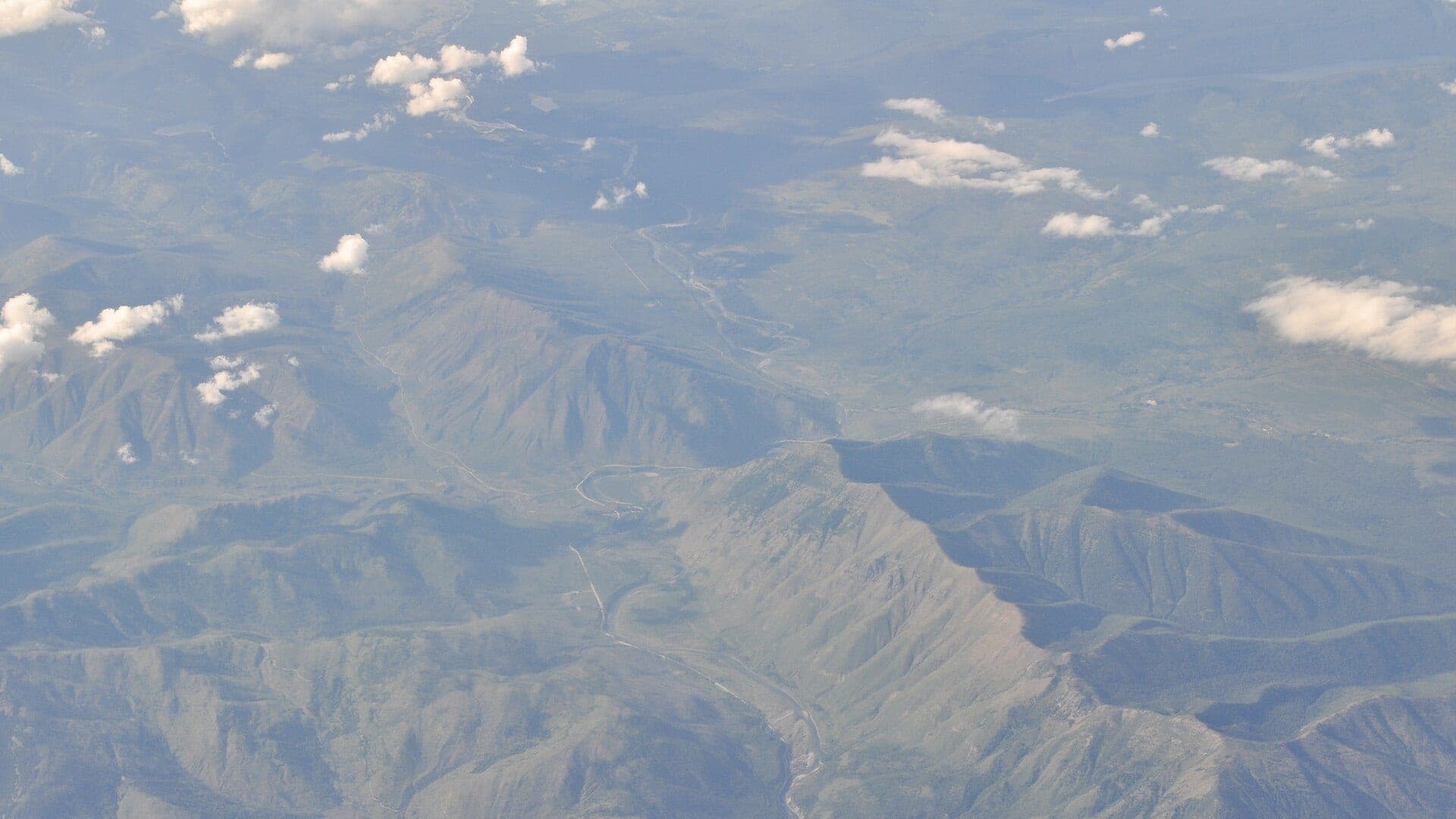
Image: Aerial - North Fork Flathead River (MT) 01 (10322830073) / CC BY-SA 3.0 / Joe Mabel (on Flickr as Joe Mabel from Seattle, US)Fishability now: North Fork Flathead River fishability today
GreatData confidence: High96/100
Fishable now because the live gauge is stable, weather is mild, and no public alert is active.
Flow observed
4:45 PM UTC
Weather observed
5:00 PM UTC
Score calculated
5:24 PM UTC
Why this rating
Flow
Water temperature
Public alerts
Next 6-12 hours
Hold
Stable live data supports staying with the plan, but recheck the gauge and forecast before leaving.
USGS flow
14,000 cfs
Current trend: flow stable, so weather, temperature, and access checks drive the next change.
More planning details: flies, flow bands, and live source checks
Fish it today
Start here
Start with the North Fork gauge, road and fire context, and one legal access area. Then fish soft gravel edges, boulder cushions, and side channels without pushing into fast glacial current.
Best flow clue
Use USGS 12355500 near Columbia Falls as the primary flow reference. Dropping clear water after runoff gives the best native-trout window; high cold water, storm jumps, smoke, or road uncertainty should move the plan to a safer option.
Skip trigger
Skip or pivot when runoff is high, roads are uncertain, Glacier or Forest Service rules do not fit the plan, fire or smoke affects access, water is too warm for cutthroat handling, or remote travel gear is not ready.
Flow decision bands
Cold but fishable
Cold clear North Fork water can still fish well, but remote travel and native-trout care mean the best day usually comes from careful edge water, not forced hero wading.
Best dropping clear-water window
Dropping North Fork flow with clean clear water is the strongest signal for attractor dries, caddis, terrestrials, and a conservative wade or boat plan.
Pushy or unsafe
High runoff, fast glacial current, or any reach that depends on uncertain roads, camps, or exits should move the day to a safer option.
Smoke, road, and native-trout caution
A good graph does not override fire or smoke, rough road conditions, boundary rules, or cutthroat and bull-trout handling limits.
USGS flow
14,000 cfs
Current trend: flow stable, so weather, temperature, and access checks drive the next change.
Live USGS flow
14,000 cfs / stable
Live NWS forecast
61F / Sunny
Live water temperature
47F from USGS
No NWS alert flag
No active NWS alert was returned for this forecast point.
Use USGS 12355500 for lower North Fork trend and wading safety.
Glacier and Montana rules can differ depending on where you stand and fish.
Cutthroat, bull trout protections, and single-point hook context make identification important.
Road conditions, bears, fire, and remoteness are part of the fishing decision.
Editorial review
How this report is maintained
This North Fork Flathead River report is maintained from USGS North Fork flow data, Montana FWP fishing regulations, current closure and restriction sources, Glacier National Park fishing and river-camping information, Flathead National Forest access and river regulation sources, weather, media-credit, and remote native-trout planning guidance.
Byline
BlueStreamFly editorial team
Reviewed by
BlueStreamFly source review
Maintained by
Mountain Brook Run LLC
Last material review
2026-05-31
Report confidence
High confidence
90/100
High confidence: USGS North Fork flow, Montana FWP regulations, current restrictions, Glacier guidance, Flathead National Forest access and river-rule sources, weather, and image credit are present. Confidence is moderated by remote roads, park-boundary details, fire or smoke, cold runoff, and native-trout protections.
Regulations
Montana FWP regulations, current restrictions, Glacier fishing guidance, and Three Forks Flathead regulations are linked.
Flow support
USGS 12355500 near Columbia Falls gives the reviewed North Fork flow trend.
Access support
Flathead National Forest Big Creek access, Forest Service river rules, and Glacier river-camping information provide concrete planning anchors.
Weather and safety
The National Weather Service point resolved and the page calls out remote roads, bears, cold runoff, smoke, fast current, and border-country logistics.
Angler usefulness
The page separates true North Fork flow, remote travel, boundary rules, native-trout care, wade/boat choice, and backup-water decisions.
Editorial review
A public correction path, source standards page, image credit, and public review history are included.
Fishability source review
2026-05-31 / material content or source review
USGS 12355500 near Columbia Falls, Montana FWP fishing regulations, current restriction pages, Glacier National Park fishing and river-camping pages, Flathead National Forest Big Creek access and Three Forks regulations, the National Weather Service point, and image credit were rechecked before adding the Pine Creek-standard current-fishability layer.
2026-05-31
Upgraded the page to the Pine Creek fishability standard with remote-river decision bands, access cards, backup logic, and a reviewed route profile.
2026-05-28
Added remote North Fork trip fit, wade-versus-boat framing, runoff and road-condition skip cues, park and Forest Service access nuance, backup-water suggestions, editorial review signals, and a page-specific report-confidence meter after source review.
2026-05-25
Initial source-reviewed report published with flows, weather, hatches, flies, tactics, access, regulations, and FAQs.
Angler planning edge
Local details that change the plan
Best for
Remote Flathead anglers planning a cold native-trout day around Polebridge, Big Creek, Blankenship, and lower North Fork access, Trips where the true North Fork gauge, Glacier boundary rules, Forest Service access, roads, bears, smoke, and weather all matter, Dry-dropper, caddis, attractor, terrestrial, and small-streamer windows after runoff drops and water stays cool, Anglers comparing the North Fork with the Middle Fork, Kootenai, and Blackfoot before choosing a remote or lower-risk plan
Wade or float
Treat the North Fork Flathead as remote wade-and-boat water, not a casual roadside stop. The gauge, road status, park boundary, fire or smoke, and bear-country preparation should decide the plan before flies do.
Best flows
Use USGS 12355500 near Columbia Falls as the primary flow reference. Dropping clear water after runoff gives the best native-trout window; high cold water, storm jumps, smoke, or road uncertainty should move the plan to a safer option.
When to skip
Skip or pivot when runoff is high, roads are uncertain, Glacier or Forest Service rules do not fit the plan, fire or smoke affects access, water is too warm for cutthroat handling, or remote travel gear is not ready.
Local plan
Start with the North Fork gauge, road and fire context, and one legal access area. Then fish soft gravel edges, boulder cushions, and side channels without pushing into fast glacial current.
Pressure
Pressure is lighter than near-town rivers, but good weather and easy access points can still concentrate anglers. The bigger issue is travel readiness and enough time to get out safely.
Access nuance
Glacier National Park, Flathead National Forest, and Montana sources support planning, but exact launch, camping, road, boundary, and regulation details still need day-of confirmation.
Backup water
If the North Fork is high, smoky, road-limited, or too remote for the day, compare the Middle Fork Flathead for Hwy 2 access, the Kootenai for a larger below-dam plan, or the Blackfoot for a different native-trout-sensitive freestone.
About the river
Setting, character, and why it fishes the way it does.
The North Fork Flathead flows along the western boundary of Glacier National Park before joining the Flathead system near Columbia Falls. It is remote, cold, and more logistics-heavy than many Montana day-trip rivers.
Fly fishing here is often about native cutthroat, clear water, gravel bars, and careful travel rather than high-density trout numbers or easy roadside service.
This report avoids using the nearby main Flathead River gauge as the primary signal. The North Fork deserves its own flow, access, and regulation context.
Target species
Westslope cutthroat trout
The primary native-trout focus; use careful catch-and-release and current rules.
Rainbow trout
Possible in connected reaches; identify fish carefully and check regulations.
Mountain whitefish
Common in productive runs and a useful nymphing target.
Bull trout
Protected. Do not target or retain bull trout, and release any incidental fish immediately.
Reading the water
High runoff
Cold and powerful. Postpone wading or use safer access until flows drop.
Dropping clear water
Fish attractor dries, caddis, stonefly nymphs, and soft inside seams.
Late summer low
Use stealth, smaller dries, shade, and temperature checks.
Storm or smoke
Recheck road, fire, weather, and emergency conditions before driving far.
Best seasons
Spring
Often high, cold, and road-limited. Check conditions carefully.
Early summer
Runoff drop can create the first strong dry-dropper windows.
Late summer
Attractor dries, terrestrials, and caddis are practical when water stays cool.
Fall
Cool stable days can fish well, but weather and access become more variable.
USGS flow
North Fork Flathead River near Columbia Falls
This is the fallback for rivers that are not covered by RiverReports. Use the official USGS monitoring page for the live hydrograph, station metadata, and current water trend.
Open USGS gaugeUSGS data chart
North Fork Flathead River near Columbia Falls
Streamflow over the latest USGS reporting window.
Latest
14,000 cfs
Jun 3, 4 PM UTC
Weather
River weather report
Weather can change wading safety, road access, water temperature, hatches, and the best time of day to fish.
Live forecast loads as you reach this section
This keeps the report fast while still using the official National Weather Service forecast point.
Hatches and flies
Hatch chart and fly picks
Spring
Midges, BWOs, early stones, and cold-water nymphs
BWO emerger, zebra midge, rubberleg, pheasant tail
Late June to July
Runoff drop, caddis, PMDs, golden stones, and salmonfly leftovers
Chubby Chernobyl, caddis, PMD, Pat's rubber legs, small streamer
August
Hoppers, ants, beetles, spruce moths where present, evening caddis
Foam hopper, ant, beetle, caddis, small attractor dry
September to October
BWOs, October caddis, small baitfish, and cooling-water cutthroat windows
BWO, October caddis, soft hackle, small sculpin, leech
Stoneflies
Pat's rubber legs, Chubby Chernobyl, skwala, golden stone
Use before, during, and after stonefly movement or when trout sit tight to banks.
Mayflies and caddis
BWO, March Brown, PMD, caddis pupa, X-caddis
Use during spring and fall hatches or summer evening riffle feeding.
Terrestrials
Hoppers, ants, beetles, hopper-dropper rigs
Use during summer near grass, shade, undercuts, and slower bank seams.
Streamers
Sculpin, leech, sparkle minnow, small articulated streamer
Use in stained water, cloud cover, fall, or when larger trout hunt edges.
Tactics
How to fish it
Use the gauge and road status before committing to long remote access.
Fish gravel bar seams, soft edges, boulder cushions, and side channels after runoff drops.
Start with a buoyant dry and small dropper, then switch to smaller dries in clear low water.
Keep native trout wet, avoid overplaying fish, and stop if water is too warm.
Carry enough food, layers, and safety gear for a remote river day.
Rigging
Rod, leader, and setup notes
A 5-weight is ideal for dry flies and droppers; a 6-weight helps with wind and larger water.
Use 4X to 5X for most dries and droppers, heavier for streamers.
Bring a PFD for boat plans and a wading staff for pushy gravel edges.
Carry bear-aware travel gear and know Glacier-area rules before leaving town.
Keep fly boxes simple: attractors, caddis, ants, beetles, small nymphs, and a few streamers.
Access
Access and planning notes
North Fork gauge check
Primary remote-river decisionWade / float / trail
Gauge / wade edge / boat
When to pick it
Start here when the true North Fork trend decides whether the trip is worth the drive, the road risk, and the time commitment.
Caution
The gauge does not settle smoke, road status, or exact boundary details for the day.
Big Creek and Polebridge corridor
Known public access backboneWade / float / trail
Forest Service access / short wade / boat scout
When to pick it
Use it when one clear public corridor is smarter than improvising access deep into remote country.
Caution
Remote roads, bears, and changing river edges can still make a fishable reach a poor fit.
Lower North Fork and boundary choice
Reach swapWade / float / trail
Road scout / boat / access change
When to pick it
Pick this when lower access or a clearer boundary setup fits better than pushing farther upriver.
Caution
Do not assume one road or one access point solves Glacier, forest, and Montana rule differences.
The North Fork is remote. Road conditions, fire, weather, and bears matter as much as the hatch.
Glacier National Park and Montana rules can differ by where you fish from. Check official guidance.
Do not use generic Flathead River flow as a replacement for North Fork conditions.
Regulations
Check before fishing
Montana FWP and Glacier National Park guidance include North Fork and native-trout rules. Check current regulations, restrictions, and boundary details before fishing.
Primary base
Columbia Falls, Polebridge, West Glacier, or Whitefish
Best day style
Remote road access, USFS sites, Glacier boundary planning, boats, and gravel bars
Check first
North Fork gauge, Glacier boundary rules, road conditions, FWP restrictions, and weather
Safety
Remote roads, cold runoff, bears, fast current, wildfire smoke, and border-country logistics
Gear
Helpful gear for this water
5-weight rod
Best for dry flies, cutthroat presentations, and lighter nymphs.
6-weight rod
Useful for wind, larger attractors, streamers, and bigger water.
PFD
Wear one when boating or wading near pushy glacial current.
Bear-aware kit
Carry appropriate safety gear and know the rules for Glacier-area travel.
Nearby water
Other water to research
Backup logic
High water
Leave the North Fork alone when runoff is still pushy and compare the Middle Fork or another river with easier exits.
Smoke or road issue
Treat smoke, closures, and rough roads as full fishability limiters and pivot before the day turns into travel-only time.
Native-trout concern
Keep cutthroat and bull-trout handling ahead of convenience and move on if the water or weather does not support clean releases.
Access issue
Use only confirmed Glacier or Flathead National Forest access and pivot if launch, camping, or boundary details stay unclear.
Middle Fork Flathead River
A Glacier-edge freestone comparison with Hwy 2 access.
Kootenai River
A larger northwest Montana river below Libby Dam.
Blackfoot River
Another native-trout-sensitive freestone with more Missoula-area access.
FAQ
Fast answers
Is North Fork Flathead River fishable today?
North Fork Flathead River looks very fishable right now. The live score is 96/100, based on current flow, weather, public alerts, and the report's planning context. Recheck the linked gauge and forecast before leaving because conditions can change quickly after rain, heat, access changes, or flow swings.
What flow is best for North Fork Flathead River?
Use USGS 12355500 near Columbia Falls as the primary flow reference. Dropping clear water after runoff gives the best native-trout window; high cold water, storm jumps, smoke, or road uncertainty should move the plan to a safer option.
When should I skip North Fork Flathead River?
Skip or pivot when runoff is high, roads are uncertain, Glacier or Forest Service rules do not fit the plan, fire or smoke affects access, water is too warm for cutthroat handling, or remote travel gear is not ready.
Is North Fork Flathead River safe to wade right now?
The fishability score is not a wading guarantee. Wade only where your chosen access has safe edges, clear footing, legal entry, and no forced crossings; high, rising, stained, or storm-affected water should be treated conservatively.
What should I check first before fishing the North Fork Flathead River?
Check USGS 12355500, Glacier and FWP rules, road conditions, weather, fire or smoke status, and access logistics.
Are there special regulations on the North Fork Flathead River?
Yes. Native-trout protections, single-point hook context, and park boundary details can affect your plan.
What flies should I bring for the North Fork Flathead River?
Bring the hatch-chart flies, a few confidence nymphs, and a streamer box. Then adjust for water temperature, clarity, and the insects you actually see.
Can I wade the North Fork Flathead River?
Yes at some flows and bars, but it is cold remote water. Use official access and conservative wading.
When should I skip the North Fork Flathead River?
Skip it when flows are unsafe, temperatures stress trout, wildfire or emergency closures are active, or legal access for the reach is not clear.
Sources
Source set for this report
Reviewed 2026-05-31