Midwest
Minnesota fly fishing reports
Use this Minnesota hub to choose a starting river, check flows and weather, compare hatches, and jump into report pages with access, tactics, regulations, and source links.
Minnesota quick finder
Open the right report first.
Search Minnesota reports by river, water type, access style, or flow source. Start with a fishability-ready report when one matches the day.
5
reports
5
fishability-ready
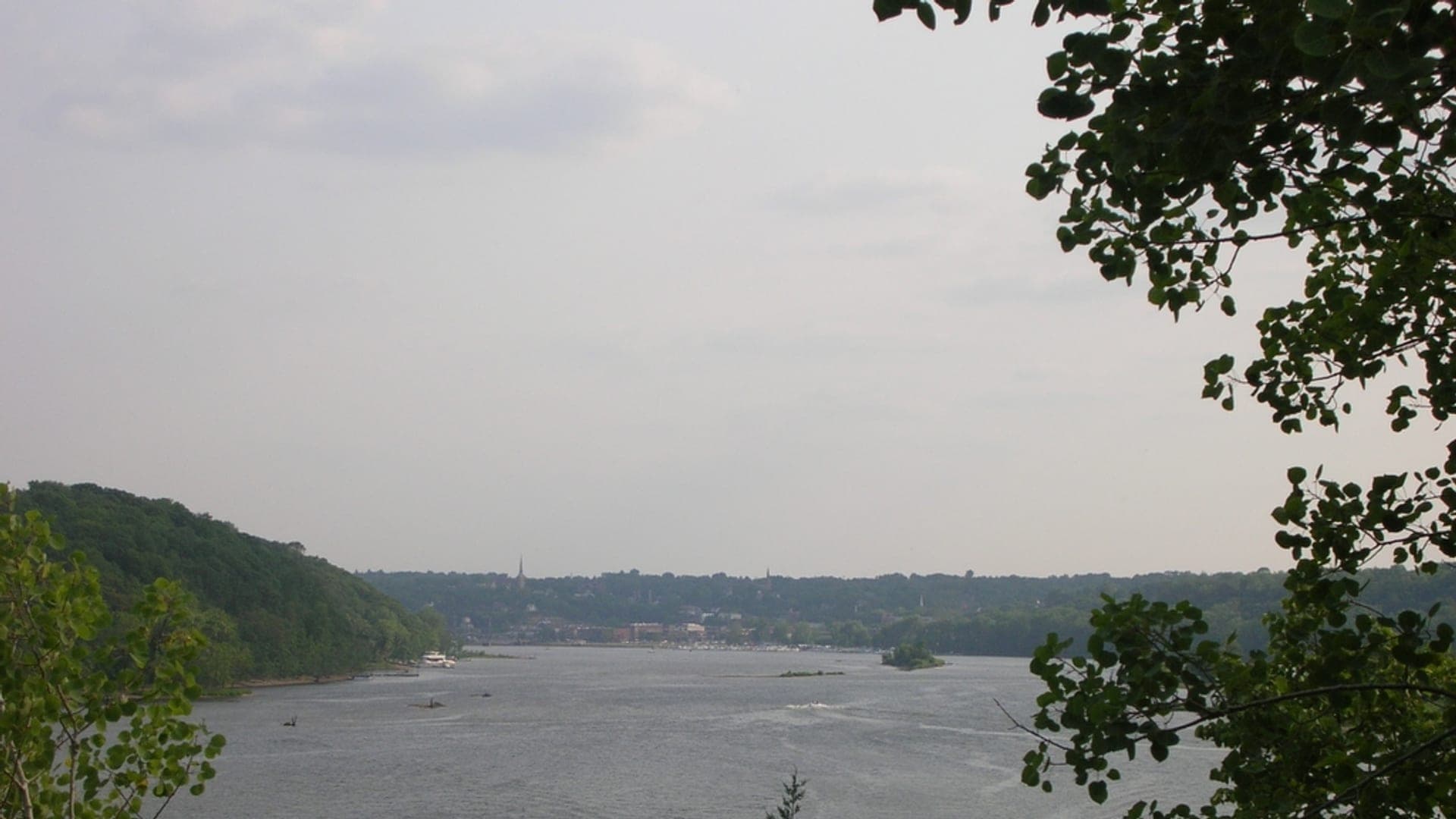
St. Croix River
Upper St. Croix and St. Croix Falls warmwater corridor
Good confidence (88/100)
Mississippi River
Upper Mississippi and metro warmwater reaches
Good confidence (86/100)
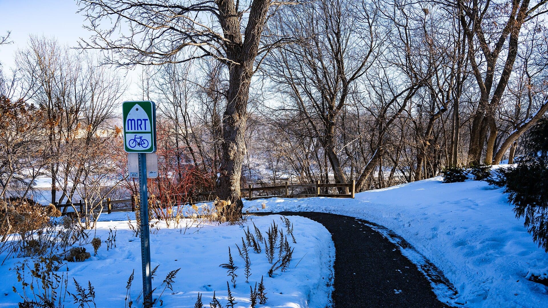
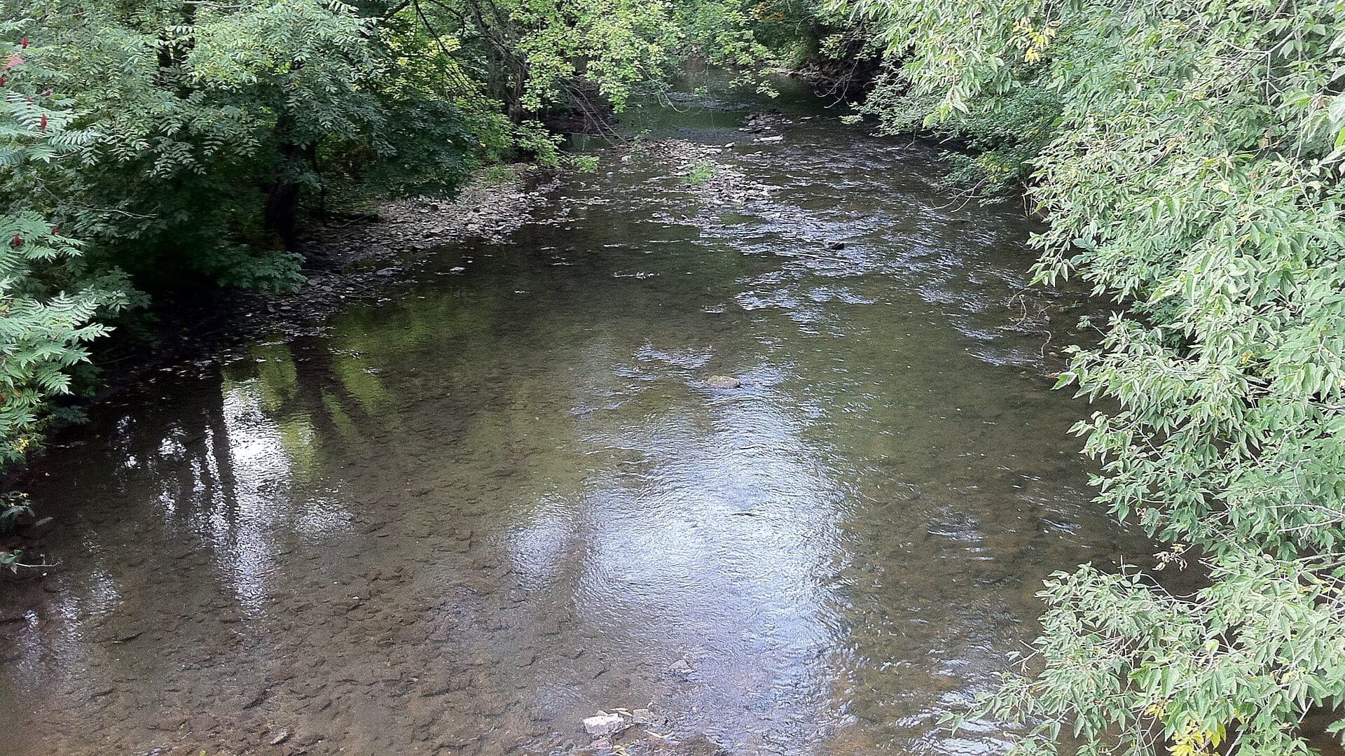
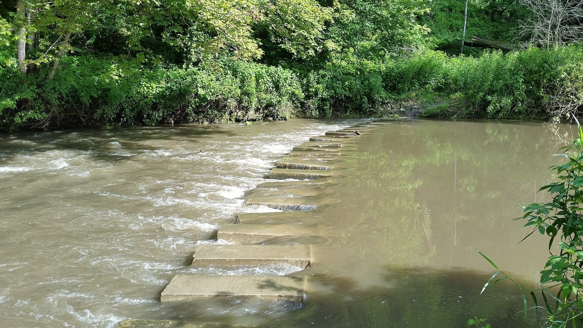
Root River, South Fork
South Fork Root trout corridor near Preston, Forestville, and Houston
Good confidence (84/100)
Reports
5
Region
Midwest
Fishability-ready
5
Planning focus
Flows, hatches, access
Flow coverage
1 with RiverReports chart coverage, 2 using USGS gauge fallback, 2 without a verified live gauge
BlueStreamFly currently covers 5 Minnesota fly fishing reports. The list below is organized around real report pages, so the state hub is a fast way to compare watersbefore opening a full river report. Start with the waters that match your trip style, then open the individual page for flow context, weather, hatches, flies, access notes, and source links.
The covered water types include Upper Mississippi and metro warmwater reaches, South Fork Root trout corridor near Preston, Forestville, and Houston, Preston, Forestville, Carimona, and Lanesboro trout context, Upper St. Croix and St. Croix Falls warmwater corridor, and Whitewater State Park, Middle Fork, North Fork, and lower water-trail context. Access styles in the current report set include Water trails, shore parks, boat launches, islands, and large-river safety planning, Small-stream wading, easements, road crossings, and Driftless valley access, Trout easements, road crossings, small-stream wading, and valley access, National Scenic Riverway landings, parks, boat ramps, islands, and boundary-water planning, and State park, trout easements, road crossings, small-stream wading, and fork-specific planning. That mix matters because a float river, a small trout stream, and a tailwater all need different flow, wading, fly, and safety decisions.
Flow checks are part of the planning path. In this state set,1 with RiverReports chart coverage, 2 using USGS gauge fallback, 2 without a verified live gauge. When a report uses a RiverReports chart, the page still keeps official gauge or agency sources where available. When only USGS data is available, the report explains the gauge and the practical planning limits.
Minnesota's current reports combine Driftless trout water, state park and easement streams, and larger warmwater or boundary-style rivers. The hub should help anglers choose between small-stream trout and bigger river plans.
A Root or Whitewater trip depends on easements, water temperature, and small-stream clarity. A Mississippi or St. Croix plan asks more about boat access, wind, current, and species mix.
Best for
- - Driftless trout stream planning
- - Small-stream wading with easement checks
- - Bigger river warmwater and boat planning
- - Anglers comparing trout valleys with large-river safety factors
Check before you go
- - Check Minnesota regulations, trout stream designations, and easement maps before fishing.
- - Use rain and clarity checks carefully on small Driftless streams.
- - On larger rivers, add wind, boat traffic, current, and landing logistics to the plan.
- - Respect private land and stay within legal public corridors or easements.
Minnesota state content should keep easement and regulation reminders close to the fishing advice because legal access is central to trip planning.
Best starting points
First reports to open in Minnesota
These are not rankings. They are quick starting points from the current inventory, chosen to help you compare water types, access, and source coverage before drilling into the full list.
Upper Mississippi and metro warmwater reaches
Mississippi River
A Minnesota Mississippi River report for fly anglers planning smallmouth, pike, carp, and Pool 2-style warmwater fishing with real flow checks.
Open report
South Fork Root trout corridor near Preston, Forestville, and Houston
Root River, South Fork
A South Fork Root River report for Driftless trout anglers checking Houston flow, MN stream conditions, hatches, access, and special rules.
Open report
Preston, Forestville, Carimona, and Lanesboro trout context
South Branch Root River
A South Branch Root River report for Driftless trout anglers who need access, hatches, rain checks, rules, weather, and practical fly tactics.
Open report
Upper St. Croix and St. Croix Falls warmwater corridor
St. Croix River
A St. Croix River report for smallmouth, pike, muskie, and warmwater fly planning with flow, NPS riverway access, rules, and weather.
Open report
Whitewater State Park, Middle Fork, North Fork, and lower water-trail context
Whitewater River
A Whitewater River report for southeastern Minnesota trout anglers checking stream conditions, fork access, hatches, weather, and special rules.
Open report
Seasons
How to think about timing
The best season changes by elevation, runoff, regulation, water temperature, hatch timing, and access. Use these notes as planning prompts, then confirm the individual river page and current official sources before fishing.
Spring
Flow and cold water control access; fish slower edges and backwaters. See Mississippi River.
Summer
Topwater, crayfish, and sight-fishing are strongest when clarity and safety line up. See Mississippi River.
Fall
Baitfish movement and cooling water create streamer and smallmouth windows. See Mississippi River.
Winter
Limited fly opportunity; use extreme caution around ice, dams, and cold water. See Mississippi River.
Early summer
Caddis, sulphurs, and terrestrial edges can be productive before heat. See Root River, South Fork.
Hatches
Hatch windows and fly planning
Hatch charts on BlueStreamFly are practical planning notes, not live bug reports. They help you pack flies and choose a starting tactic, then the actual river conditions should make the final decision.
April to May / Mississippi River
Warming shallows, early caddis, minnows, crayfish, and pike movement
Small Clouser, crayfish, black bugger, soft hackle, small deceiver
June to August / Mississippi River
Damselflies, dragonflies, hoppers, cicadas, frogs, and baitfish
Poppers, sliders, foam hopper, damselfly nymph, baitfish streamer
March to April / Root River, South Fork
Midges, early black stones, BWOs, scuds, and small olives
Zebra midge, scud, black stonefly, BWO emerger, pheasant tail
May to June / Root River, South Fork
Caddis, sulphurs, March Browns, crane flies, light mayflies
Elk hair caddis, caddis pupa, sulphur, March Brown, crane fly larva
Rules, access, and sources
Check the official path before you fish.
Regulations, closures, access, stocking, water temperature, and releases can change faster than a static page. Every river report should be treated as a planning page that points you back to current official sources.
Flow
USGS Mississippi River at St. Cloud 05270700
Open source page
Regulations
Minnesota fishing regulations
Open source page
Access
Minnesota DNR Mississippi River water trail
Open source page
Regulations
Minnesota DNR Pool 2 information
Open source page
Access
National Park Service Mississippi fishing
Open source page
Safety and weather
National Weather Service forecast point
Open source page
Flow
RiverReports Root River at South Park
Open source page
Flow
USGS South Fork Root River near Houston 05385500
Open source page
Full state list
All Minnesota report pages
Open a specific report for current planning context, nearby water, access notes, regulations, hatches, fly picks, weather, flow checks, and source links.
Minnesota / Midwest
Mississippi River
Check if Mississippi River is fishable today with live flow context, weather, access, regulations, hatch timing, flies, and source links.

Minnesota / Midwest
Root River, South Fork
Check if Root River, South Fork is fishable today with live flow context, weather, access, regulations, hatch timing, flies, and source links.
Minnesota / Midwest
South Branch Root River
Check if South Branch Root River is fishable today with live flow context, weather, access, regulations, hatch timing, flies, and source links.
Minnesota / Midwest
St. Croix River
Check if St. Croix River is fishable today with live flow context, weather, access, regulations, hatch timing, flies, and source links.
Minnesota / Midwest
Whitewater River
Check if Whitewater River is fishable today with live flow context, weather, access, regulations, hatch timing, flies, and source links.