Northeast
Vermont fly fishing reports
Use this Vermont hub to choose a starting river, check flows and weather, compare hatches, and jump into report pages with access, tactics, regulations, and source links.
Vermont quick finder
Open the right report first.
Search Vermont reports by river, water type, access style, or flow source. Start with a fishability-ready report when one matches the day.
6
reports
6
fishability-ready
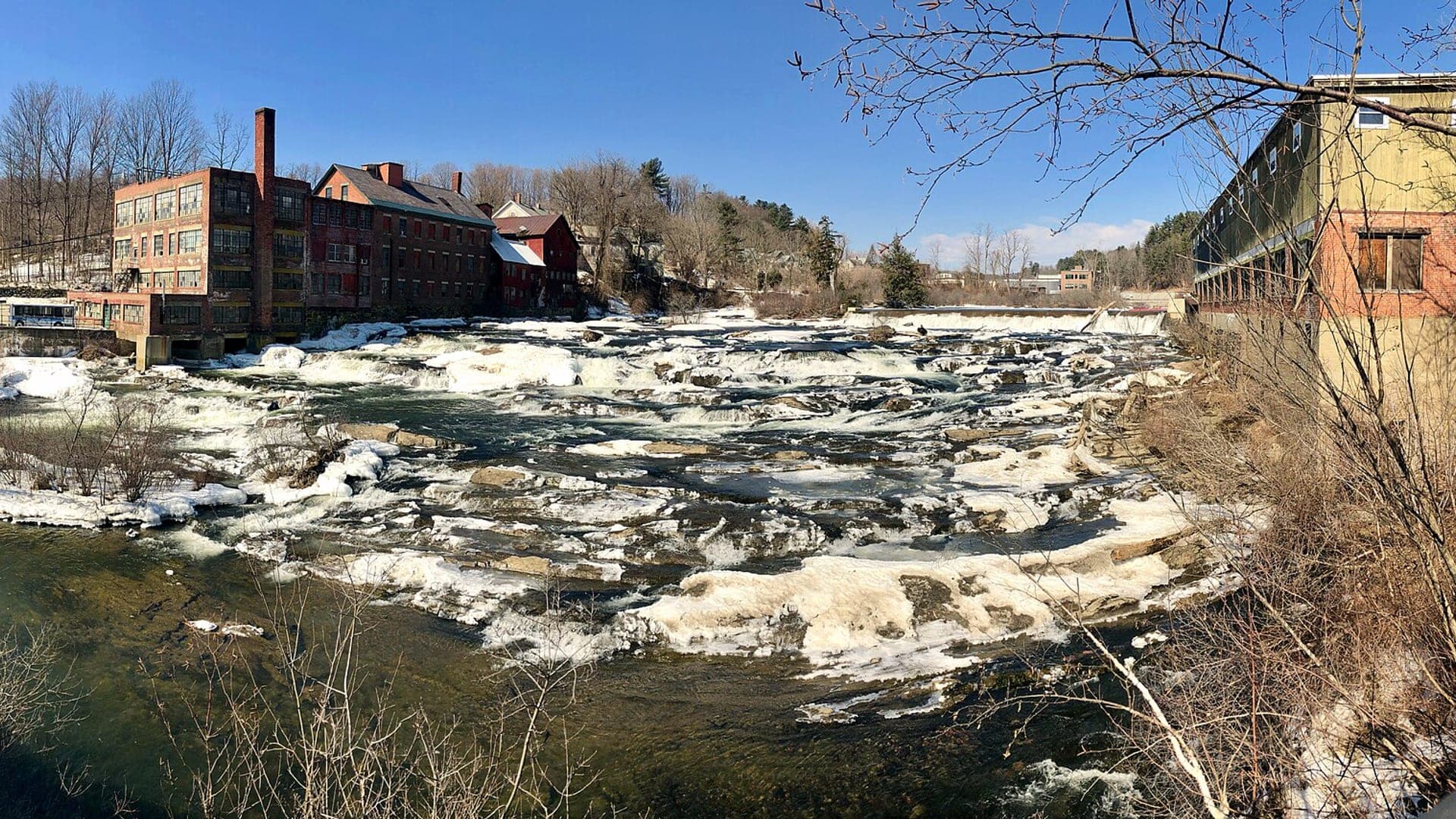
Otter Creek
Otter Creek from upper coldwater reaches through Center Rutland and Middlebury-area mixed water
High confidence (89/100)
Black River
Black River around North Springfield, Weathersfield, Cavendish, and trophy-trout context
Good confidence (88/100)
Ottauquechee River
Ottauquechee River near West Bridgewater, Woodstock, and central Vermont valley context
Good confidence (86/100)
Reports
6
Region
Northeast
Fishability-ready
6
Planning focus
Flows, hatches, access
Flow coverage
3 with RiverReports chart coverage, 1 using USGS gauge fallback, 2 without a verified live gauge
BlueStreamFly currently covers 6 Vermont fly fishing reports. The list below is organized around real report pages, so the state hub is a fast way to compare watersbefore opening a full river report. Start with the waters that match your trip style, then open the individual page for flow context, weather, hatches, flies, access notes, and source links.
The covered water types include Black River around North Springfield, Weathersfield, Cavendish, and trophy-trout context, Ottauquechee River near West Bridgewater, Woodstock, and central Vermont valley context, Otter Creek from upper coldwater reaches through Center Rutland and Middlebury-area mixed water, West Hartford, Hartford, White River Junction, and the lower mainstem, Bethel, Stockbridge, VT-107, and upper-middle White River trout water, and Waterbury trophy trout reach, lower Winooski context, and Lake Champlain boundary checks. Access styles in the current report set include Roadside trout water, trophy-stocked reaches, village access, and private-bank awareness, Roadside trout river, town access, private-bank awareness, and rain-sensitive flows, Long mixed river, trout headwaters, town access, warmwater lower reaches, and private-bank awareness, Bridge-area checks, public pullouts, valley roads, and posted-land awareness, Roadside freestone water, special-reach rule checks, and posted-land awareness, and Reach-specific trout rules, lower-river access checks, and urban/valley safety. That mix matters because a float river, a small trout stream, and a tailwater all need different flow, wading, fly, and safety decisions.
Flow checks are part of the planning path. In this state set,3 with RiverReports chart coverage, 1 using USGS gauge fallback, 2 without a verified live gauge. When a report uses a RiverReports chart, the page still keeps official gauge or agency sources where available. When only USGS data is available, the report explains the gauge and the practical planning limits.
Vermont's covered reports focus on coldwater trout rivers, mixed valley systems, and reach-specific rule checks. The state hub should help anglers compare freestone timing, summer temperature, and access before picking a report.
The White, Winooski, Otter, Black, and Ottauquechee systems each change character by reach, so the state page should guide readers toward the correct full report instead of oversimplifying Vermont trout fishing.
Best for
- - New England freestone trout planning
- - Anglers checking rain, temperature, and valley access
- - Reach-specific special regulation research
- - Readers comparing upper coldwater reaches with lower mixed-river water
Check before you go
- - Check Vermont regulations, reach-specific trout rules, and seasonal closures before fishing.
- - Use rain and flow checks carefully because freestones can rise and stain quickly.
- - Watch summer water temperature before targeting trout.
- - Expect posted land and valley road access to require careful public-access checks.
Vermont state hub content should keep temperature, flow, and reach-specific rules visible because those factors often decide whether a trout plan is responsible.
Best starting points
First reports to open in Vermont
These are not rankings. They are quick starting points from the current inventory, chosen to help you compare water types, access, and source coverage before drilling into the full list.
Black River around North Springfield, Weathersfield, Cavendish, and trophy-trout context
Black River
A Black River report for southern Vermont trout planning, with RiverReports flow, trophy trout context, hatches, tactics, and access notes.
Open report
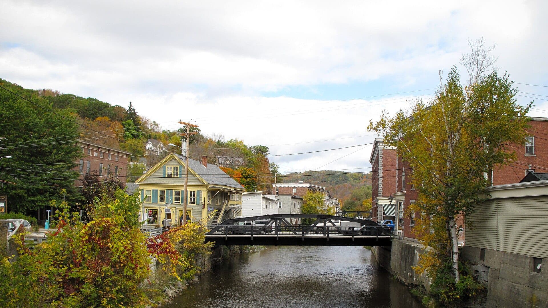
Ottauquechee River near West Bridgewater, Woodstock, and central Vermont valley context
Ottauquechee River
An Ottauquechee River report for central Vermont trout planning, with RiverReports flow, rain safety, hatches, access, and source checks.
Open report
Otter Creek from upper coldwater reaches through Center Rutland and Middlebury-area mixed water
Otter Creek
An Otter Creek report for Vermont's long mixed fishery, with trout-water planning, warmwater sections, flow checks, flies, and access notes.
Open report
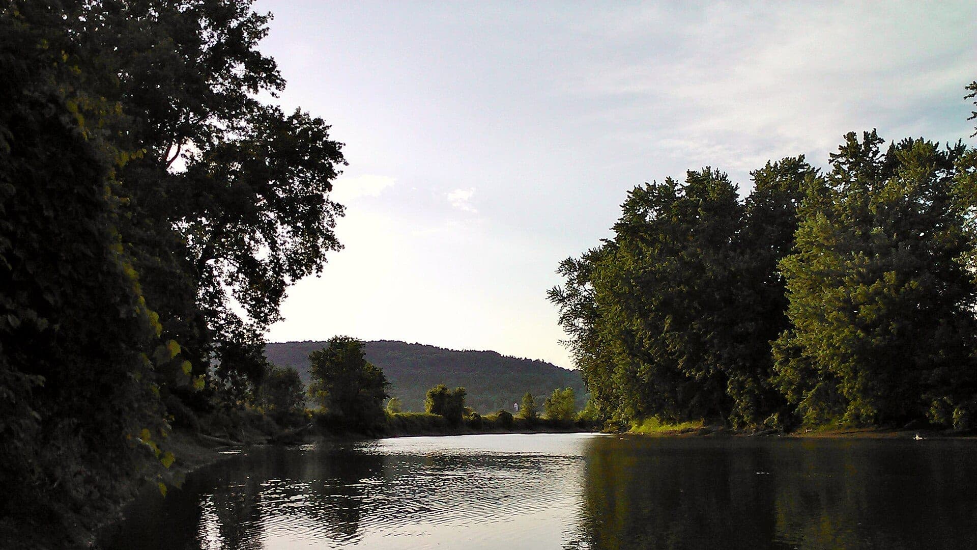
West Hartford, Hartford, White River Junction, and the lower mainstem
White River Lower
A lower White River report for West Hartford, Hartford, and White River Junction, with cool-water trout windows and warm-season mixed-water planning.
Open report
Bethel, Stockbridge, VT-107, and upper-middle White River trout water
White River Upper
A trout-focused report for the Bethel, Stockbridge, and VT-107 upper White River corridor, with special-reach planning and small-water tactics.
Open report
Waterbury trophy trout reach, lower Winooski context, and Lake Champlain boundary checks
Winooski River
A Winooski report that separates the Waterbury trophy trout plan from lower-river mixed species water near Lake Champlain.
Open report
Seasons
How to think about timing
The best season changes by elevation, runoff, regulation, water temperature, hatch timing, and access. Use these notes as planning prompts, then confirm the individual river page and current official sources before fishing.
Spring
Best broad trout window, with stocking, higher flows, and mayfly/caddis activity. See Black River.
Summer
Fish early and watch temperature, especially in lower or open reaches. See Black River.
Fall
Cool stable flows bring better trout handling and streamer chances. See Black River.
Winter
Year-round catch-and-release opportunity may exist under Vermont rules; check current regulations. See Black River.
Hatches
Hatch windows and fly planning
Hatch charts on BlueStreamFly are practical planning notes, not live bug reports. They help you pack flies and choose a starting tactic, then the actual river conditions should make the final decision.
April to May / Black River
Quill Gordons, Hendricksons, BWOs, caddis, and high-water nymphing
Hendrickson, BWO emerger, caddis pupa, hare's ear, stonefly nymph
June to July / Black River
Caddis, sulphurs, March Browns, Light Cahills, and evening spinners
Sulphur emerger, March Brown, Light Cahill, elk hair caddis, soft hackle
April to May / White River Lower
Hendricksons, Quill Gordons, BWOs, early caddis, and high-water nymphing
Hendrickson, BWO emerger, caddis pupa, hare's ear, stonefly nymph
June to July / White River Lower
Caddis, sulphurs, Light Cahills, March Browns, and evening spinners
Sulphur emerger, Light Cahill, elk hair caddis, soft hackle, spinner
Rules, access, and sources
Check the official path before you fish.
Regulations, closures, access, stocking, water temperature, and releases can change faster than a static page. Every river report should be treated as a planning page that points you back to current official sources.
Regulations
Vermont Fish and Wildlife fishing regulations
Open source page
Access
Vermont Fish and Wildlife fishing opportunities
Open source page
Regulations
Vermont year-round trout fishing
Open source page
Regulations
Vermont trophy trout fishing
Open source page
Flow
RiverReports Black River at North Springfield
Open source page
Flow
USGS 01153000 Black River at North Springfield
Open source page
Safety and weather
National Weather Service point near North Springfield
Open source page
Access
Vermont trout map for rivers and streams
Open source page
Full state list
All Vermont report pages
Open a specific report for current planning context, nearby water, access notes, regulations, hatches, fly picks, weather, flow checks, and source links.
Vermont / Northeast
Black River
Check if Black River is fishable today with live flow context, weather, access, regulations, hatch timing, flies, and source links.

Vermont / Northeast
Ottauquechee River
Check if Ottauquechee River is fishable today with live flow context, weather, access, regulations, hatch timing, flies, and source links.
Vermont / Northeast
Otter Creek
Check if Otter Creek is fishable today with live flow context, weather, access, regulations, hatch timing, flies, and source links.

Vermont / Northeast
White River Lower
Check if White River Lower is fishable today with live flow context, weather, access, regulations, hatch timing, flies, and source links.
Vermont / Northeast
White River Upper
Check if White River Upper is fishable today with live flow context, weather, access, regulations, hatch timing, flies, and source links.
Vermont / Northeast
Winooski River
Check if Winooski River is fishable today with live flow context, weather, access, regulations, hatch timing, flies, and source links.