Northeast
New Hampshire fly fishing reports
Use this New Hampshire hub to choose a starting river, check flows and weather, compare hatches, and jump into report pages with access, tactics, regulations, and source links.
New Hampshire quick finder
Open the right report first.
Search New Hampshire reports by river, water type, access style, or flow source. Start with a fishability-ready report when one matches the day.
7
reports
7
fishability-ready
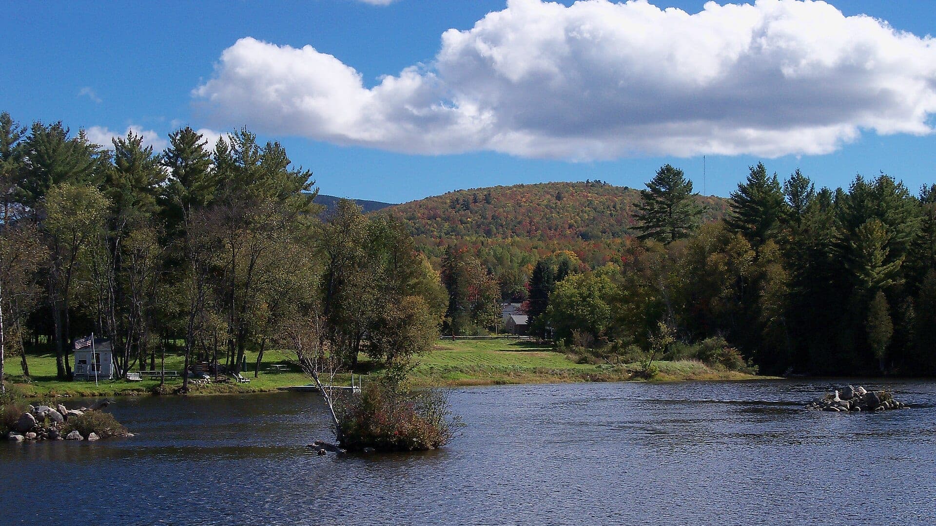
Pemigewasset River
Main-stem Pemigewasset River planning from the White Mountains toward Woodstock, Plymouth, and lower valley access
Good confidence (89/100)
Androscoggin River
Gorham and northern Androscoggin corridor
Good confidence (87/100)
Merrimack River
Franklin Junction and central Merrimack River corridor
Good confidence (87/100)
Reports
7
Region
Northeast
Fishability-ready
7
Planning focus
Flows, hatches, access
Flow coverage
5 with RiverReports chart coverage, 1 using USGS gauge fallback, 1 without a verified live gauge
BlueStreamFly currently covers 7 New Hampshire fly fishing reports. The list below is organized around real report pages, so the state hub is a fast way to compare watersbefore opening a full river report. Start with the waters that match your trip style, then open the individual page for flow context, weather, hatches, flies, access notes, and source links.
The covered water types include Gorham and northern Androscoggin corridor, Mascoma River and Upper Valley tributary-influenced trout water, Franklin Junction and central Merrimack River corridor, Conway and White Mountains Saco River freestone water, Newport to West Claremont Sugar River corridor, Pittsburg and Indian Stream upper Connecticut River coldwater corridor, and Main-stem Pemigewasset River planning from the White Mountains toward Woodstock, Plymouth, and lower valley access. Access styles in the current report set include Roadside reaches, town access, larger pools, riffles, and boatable sections, Road crossings, town corridors, small public parcels, and careful private-land awareness, Big-river wading, boat launches, town corridors, ledges, islands, and warmwater structure, Roadside pullouts, town access, gravel bars, wading reaches, and paddling corridors, Road crossings, town parks, pocket water, bridges, and careful public/private boundaries, Roadside reaches, tailwater-style pockets, pools, public corridors, and private-land awareness, and Roadside, town, and White Mountain National Forest access with conservative wading after rain or snowmelt. That mix matters because a float river, a small trout stream, and a tailwater all need different flow, wading, fly, and safety decisions.
Flow checks are part of the planning path. In this state set,5 with RiverReports chart coverage, 1 using USGS gauge fallback, 1 without a verified live gauge. When a report uses a RiverReports chart, the page still keeps official gauge or agency sources where available. When only USGS data is available, the report explains the gauge and the practical planning limits.
New Hampshire's covered reports include White Mountains freestones, Upper Connecticut coldwater, central river corridors, and larger mixed-use water. The hub should help anglers separate mountain trout plans from bigger river plans.
A Saco or Upper Connecticut day starts with different questions than a Merrimack or Sugar River day. Flow, summer temperature, access, and target species should drive the choice.
Best for
- - White Mountains and northern trout planning
- - Upper Connecticut River coldwater trips
- - Central New Hampshire mixed river access
- - Anglers comparing roadside freestones with bigger river corridors
Check before you go
- - Check New Hampshire regulations, season details, and special water rules before fishing.
- - Watch rain and runoff on mountain freestones because safe wading can change quickly.
- - Use water temperature to decide whether trout fishing is appropriate in summer.
- - Expect public and private access to vary by valley, bridge, and town corridor.
New Hampshire state pages should keep regulation and flow links near the planning copy because small mountain rivers react quickly to weather.
Best starting points
First reports to open in New Hampshire
These are not rankings. They are quick starting points from the current inventory, chosen to help you compare water types, access, and source coverage before drilling into the full list.
Gorham and northern Androscoggin corridor
Androscoggin River
A Gorham-area Androscoggin report for trout, landlocked salmon possibilities, smallmouth water, flow checks, access, and practical fly choices.
Open report
Mascoma River and Upper Valley tributary-influenced trout water
Mascoma River
A Mascoma River report for Upper Valley trout planning, hatch timing, careful access, no-gauge transparency, and practical fly choices.
Open report
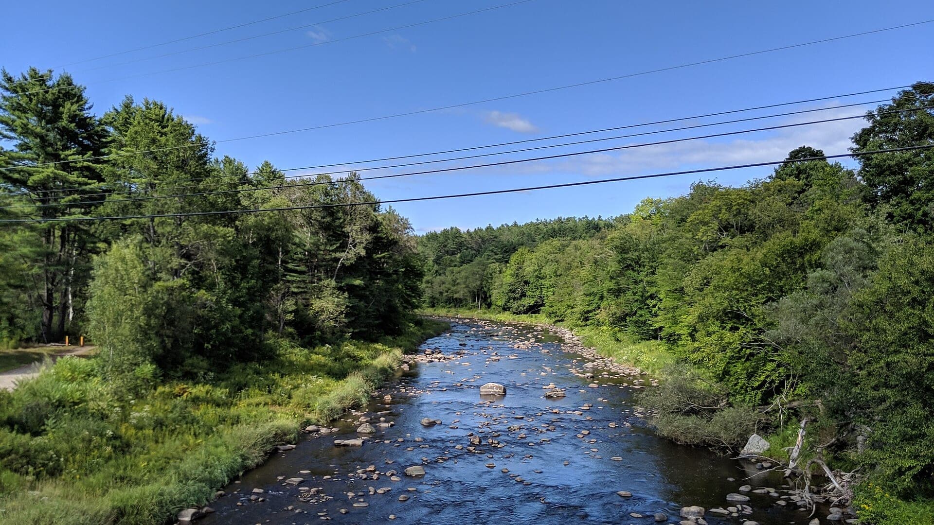
Franklin Junction and central Merrimack River corridor
Merrimack River
A Merrimack River report for Franklin Junction and central New Hampshire planning, with flow, mixed-species tactics, access, and regulations.
Open report
Conway and White Mountains Saco River freestone water
Saco River
A Conway-area Saco River report for freestone trout fishing, hatches, flows, access notes, and White Mountains trip planning.
Open report
Newport to West Claremont Sugar River corridor
Sugar River
A Sugar River report for Upper Valley trout and mixed-water planning, with a verified USGS gauge, hatches, tactics, access, and rules.
Open report
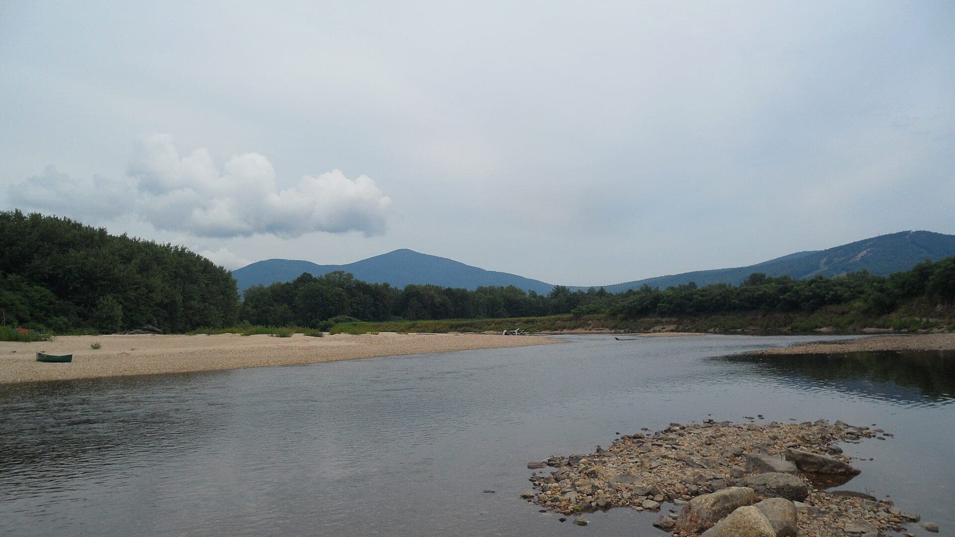
Pittsburg and Indian Stream upper Connecticut River coldwater corridor
Upper Connecticut River
A Pittsburg-area Upper Connecticut report for coldwater trout and salmon-style planning, with flow, hatches, access, and rule checks.
Open report
Seasons
How to think about timing
The best season changes by elevation, runoff, regulation, water temperature, hatch timing, and access. Use these notes as planning prompts, then confirm the individual river page and current official sources before fishing.
Spring
Cold-water trout windows, nymphing, streamers, and early hatches. See Androscoggin River.
Early summer
Caddis, mayflies, and improving wade access after high water drops. See Androscoggin River.
Summer
Morning trout checks in cold reaches and smallmouth tactics in warmwater sections. See Androscoggin River.
Fall
Cooler flows, BWOs, streamers, and better trout handling conditions. See Androscoggin River.
Late summer
Shift to mornings, shaded water, tributary influence, or warmwater targets when needed. See Pemigewasset River.
Hatches
Hatch windows and fly planning
Hatch charts on BlueStreamFly are practical planning notes, not live bug reports. They help you pack flies and choose a starting tactic, then the actual river conditions should make the final decision.
April to May / Androscoggin River
Early trout hatches, baitfish movement, crayfish, and warming smallmouth flats
BWO emerger, caddis pupa, small Clouser, crayfish, black bugger
June to August / Androscoggin River
Caddis, damselflies, dragonflies, hoppers, minnows, crayfish
Poppers, sliders, foam hopper, damselfly nymph, baitfish streamer
March to April / Mascoma River
Midges, early black stones, BWOs, stocked-trout nymph windows
Zebra midge, black stonefly nymph, BWO emerger, pheasant tail
May to June / Mascoma River
Caddis, Hendricksons, March Browns, sulphurs, light cahills
Elk hair caddis, Hendrickson, March Brown, sulphur emerger, soft hackle
April-May / Pemigewasset River
Midges, early mayflies, stoneflies
Zebra midge, pheasant tail, prince nymph, small black stone
Rules, access, and sources
Check the official path before you fish.
Regulations, closures, access, stocking, water temperature, and releases can change faster than a static page. Every river report should be treated as a planning page that points you back to current official sources.
Gauge examples
RiverReports with USGS 01075000 at Woodstock.
Flow
RiverReports Androscoggin River near Gorham
Open source page
Flow
USGS Androscoggin River near Gorham 01054000
Open source page
Regulations
New Hampshire freshwater fishing digest
Open source page
Regulations
NH Fish and Game fishing seasons
Open source page
Regulations
NH Fish and Game trout fishing
Open source page
Safety and weather
National Weather Service forecast point
Open source page
Flow
USGS Mascoma River at Mascoma 01150500
Open source page
Safety and weather
National Weather Service forecast point
Open source page
Full state list
All New Hampshire report pages
Open a specific report for current planning context, nearby water, access notes, regulations, hatches, fly picks, weather, flow checks, and source links.
New Hampshire / Northeast
Androscoggin River
Check if Androscoggin River is fishable today with live flow context, weather, access, regulations, hatch timing, flies, and source links.

New Hampshire / Northeast
Mascoma River
Check if Mascoma River is fishable today with live flow context, weather, access, regulations, hatch timing, flies, and source links.
New Hampshire / Northeast
Merrimack River
Check if Merrimack River is fishable today with live flow context, weather, access, regulations, hatch timing, flies, and source links.
New Hampshire / Northeast
Saco River
Check if Saco River is fishable today with live flow context, weather, access, regulations, hatch timing, flies, and source links.
New Hampshire / Northeast
Sugar River
Check if Sugar River is fishable today with live flow context, weather, access, regulations, hatch timing, flies, and source links.

New Hampshire / Northeast
Upper Connecticut River
Check if Upper Connecticut River is fishable today with live flow context, weather, access, regulations, hatch timing, flies, and source links.

New Hampshire / Northeast
Pemigewasset River
Check if Pemigewasset River is fishable today with live flow context, weather, access, regulations, hatch timing, flies, and source links.