
Montana / West
West Fork Bitterroot River
A West Fork Bitterroot report for anglers checking Conner flow, Painted Rocks influence, special-use rules, trout tactics, and weather.
Image: Generated regional planning image for West Fork Bitterroot River / BlueStreamFly generated; not exact location / BlueStreamFlyFishability now: West Fork Bitterroot River fishability today
GreatData confidence: High96/100
Fishable now because the live gauge is falling, weather is mild, and no public alert is active.
Flow observed
4:15 PM UTC
Weather observed
5:00 PM UTC
Score calculated
5:23 PM UTC
Why this rating
Flow
Weather
Public alerts
Next 6-12 hours
Improving / hold
A falling gauge and usable weather should keep the next 6-12 hours in play unless tributaries stain or heat builds.
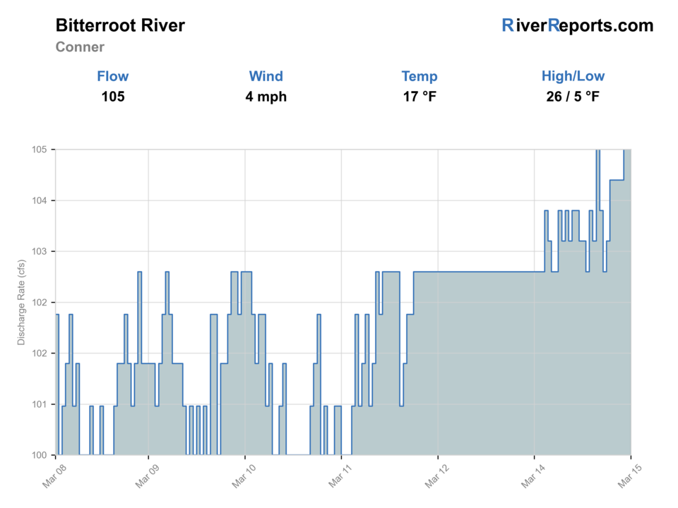
USGS flow
641 cfs
Current trend: flow falling, rating likely holding strong unless weather or clarity changes.
More planning details: flies, flow bands, and live source checks
Fish it today
Start here
Start with the Conner flow, current restrictions, and one legal access pair. Then decide whether the day is a compact wade session, a short float, or a dry-dropper scout after releases stabilize.
Best flow clue
Use RiverReports and USGS 12342500 near Conner together. Stable cool water is the best platform for dry-dropper fishing; sudden release changes, low warm flows, or storm color should narrow the plan.
Skip trigger
Skip or pivot when special-use or access details do not fit the trip, FWP restrictions are active, low warm water threatens trout handling, or wood and flows make floating marginal.
Flow decision bands
Low but still fishable
Low clear summer water can still fish well, but trout handling, wood, and spooky fish should keep the session short and cool-hour focused.
Best stable upper-fork window
Stable or slowly dropping Conner flow with cool water is the cleanest signal for dry-droppers, caddis, terrestrials, and short streamer work.
Pushy or release-shifted
Sudden release changes, storm color, or any float plan that depends on forcing wood-filled current should move the day to safer edges or another river.
Permit, launch, or heat caution
A fishable-looking graph does not override active FWP restrictions, special-use details, or warm afternoons that make trout handling poor.
USGS flow
641 cfs
Current trend: flow falling, rating likely holding strong unless weather or clarity changes.
Live USGS flow
635 cfs / falling about 20%
Live NWS forecast
70F / Sunny
Water temperature not verified
Heat guidance uses weather and river type unless an official water-temperature value is available.
No NWS alert flag
No active NWS alert was returned for this forecast point.
Use the Conner gauge for current West Fork trend instead of guessing from the mainstem.
FWP special-use river permit rules can affect commercial and nonresident float scheduling.
Expect clear water, pocket water, and fast changes from storms or release patterns.
Check current restrictions and temperature before fishing during summer heat.
Editorial review
How this report is maintained
This West Fork Bitterroot River report is maintained from RiverReports and USGS Conner flow data, Montana FWP fishing regulations, current closure and restriction sources, stream-access law, special-use river permit information, Bitterroot National Forest access information, weather, generated-image disclosure, and upper Bitterroot planning guidance.
Byline
BlueStreamFly editorial team
Reviewed by
BlueStreamFly source review
Maintained by
Mountain Brook Run LLC
Last material review
2026-05-31
Report confidence
Good confidence
88/100
Good confidence: RiverReports, USGS Conner flow, Montana FWP regulations, restrictions, stream-access law, special-use details, Forest Service launch context, and weather support the page. Confidence is moderated by release changes, permit or launch details, wood, and warm low water.
Regulations
Montana FWP regulations, current restrictions, and special-use river information support the legal-check path.
Access
Stream-access law, special-use material, and the Bitterroot National Forest launch source support planning, while exact launch status and private-bank limits remain day-specific.
Flow and weather
RiverReports West Fork Bitterroot near Conner is backed by USGS 12342500 and gives a solid trend, but release changes and reach-level wood still need a same-day read.
Fishing usefulness
The page now separates release-aware flow calls, wade versus float choice, permit and launch checks, heat caution, and backup-water decisions.
Fishability dashboard and source review
2026-05-31 / material content or source review
RiverReports West Fork Bitterroot near Conner, USGS 12342500, Montana FWP regulations and current restrictions, Montana stream-access law, special-use river permit information, Bitterroot National Forest West Fork Boat Launch information, and the National Weather Service point were checked before updating the current-fishability decision layer.
2026-05-31
Updated West Fork Bitterroot River to the current fishability-page standard with release-aware flow bands, access cards, backup cues, stable fishability SEO, and confidence signals.
2026-05-28
Added upper-fork trip fit, dam-and-permit planning cues, wade-versus-float framing, access nuance, warm-water skip cues, backup-water suggestions, editorial review signals, generated-image disclosure context, and a page-specific report-confidence meter after source review.
2026-05-25
Initial source-reviewed report published with flows, weather, hatches, flies, tactics, access, regulations, and FAQs.
Angler planning edge
Local details that change the plan
Best for
Upper Bitterroot anglers planning a Conner-area day around flow, Painted Rocks release influence, access, and summer temperature checks, Trips where RiverReports, USGS, special-use information, and Forest Service access all need to fit before launching or wading, Dry-dropper, stonefly, caddis, terrestrial, and small-streamer windows when water is cool and stable, Anglers comparing the West Fork with the East Fork, main Bitterroot, or Rock Creek before choosing the safest valley plan
Wade or float
Treat the West Fork Bitterroot as mixed wade-and-float water with extra permit and access homework. Releases, low summer water, wood, and launch rules should shape the plan before you choose flies.
Best flows
Use RiverReports and USGS 12342500 near Conner together. Stable cool water is the best platform for dry-dropper fishing; sudden release changes, low warm flows, or storm color should narrow the plan.
When to skip
Skip or pivot when special-use or access details do not fit the trip, FWP restrictions are active, low warm water threatens trout handling, or wood and flows make floating marginal.
Local plan
Start with the Conner flow, current restrictions, and one legal access pair. Then decide whether the day is a compact wade session, a short float, or a dry-dropper scout after releases stabilize.
Pressure
Pressure can concentrate at clear access points and during good summer release windows. A defined shuttle and backup reach reduce wasted time.
Access nuance
Stream-access law, special-use information, and Forest Service launch context support planning, but private banks, launch status, and current permit details still need confirmation.
Backup water
If the West Fork is low, warm, restricted, or access-complicated, compare the main Bitterroot for more room, the East Fork for small-water scouting, or Rock Creek for a stronger wade-focused public plan.
About the river
Setting, character, and why it fishes the way it does.
The West Fork Bitterroot runs out of the Painted Rocks area toward Conner, where it joins the East Fork to form the main Bitterroot River.
Its character blends upper-valley freestone fishing with dam-influenced flow awareness. Anglers can find riffles, pocket water, bends, and clear trout water that demands careful approaches.
This report highlights West Fork-specific flow and special-use rules so anglers do not rely only on broader Bitterroot advice.
Target species
Cutthroat trout
A key native-trout consideration; release carefully under current FWP rules.
Rainbow trout
Present in connected reaches and riffles; check current rules before harvest.
Brown trout
More likely in lower reaches, bends, and undercut or streamer water.
Bull trout
Protected. Do not target or retain bull trout, and release incidental fish immediately.
Reading the water
Stable release or flow
Fish dry-droppers, stonefly nymphs, caddis, and soft seams.
Low clear water
Use longer leaders, smaller flies, shade, and careful wading.
Rising or stained
Fish protected edges only if safe or wait for clarity to return.
Warm summer water
Check restrictions, fish early, and stop if trout are stressed.
Best seasons
Spring
Pre-runoff and controlled-flow windows can fish with nymphs and streamers.
Early summer
Runoff drop brings stonefly, caddis, PMD, and dry-dropper fishing.
Summer
Terrestrials, caddis, and mornings are useful with temperature checks.
Fall
BWOs, streamers, and cooler water improve trout comfort.
Preferred flow source
West Fork Bitterroot River near Conner
RiverReports is the preferred chart source when coverage exists. When a matching USGS gauge exists, keep it open as the official backstop for station data and current hydrograph context.
USGS data chart
Official USGS trend
Streamflow over the latest USGS reporting window.
Latest
641 cfs
Jun 3, 3 PM UTC
Weather
River weather report
Weather can change wading safety, road access, water temperature, hatches, and the best time of day to fish.
Live forecast loads as you reach this section
This keeps the report fast while still using the official National Weather Service forecast point.
Hatches and flies
Hatch chart and fly picks
March to April
Skwalas, March Browns, BWOs, midges, and early stonefly movement
Skwala dry, rubberleg, March Brown, BWO emerger, zebra midge
May to June
Runoff edges, salmonflies, golden stones, caddis, PMDs
Chubby Chernobyl, Pat's rubber legs, caddis pupa, PMD emerger, streamer
July to August
Hoppers, ants, beetles, nocturnal stones, spruce moths where present
Hopper-dropper, foam ant, beetle, nocturnal stone, small perdigon
September to October
Mahoganies, BWOs, October caddis, baitfish, fall streamer windows
Mahogany, BWO, October caddis, sculpin, leech
Stoneflies
Pat's rubber legs, Chubby Chernobyl, skwala, golden stone
Use before, during, and after stonefly movement or when trout sit tight to banks.
Mayflies and caddis
BWO, March Brown, PMD, caddis pupa, X-caddis
Use during spring and fall hatches or summer evening riffle feeding.
Terrestrials
Hoppers, ants, beetles, hopper-dropper rigs
Use during summer near grass, shade, undercuts, and slower bank seams.
Streamers
Sculpin, leech, sparkle minnow, small articulated streamer
Use in stained water, cloud cover, fall, or when larger trout hunt edges.
Tactics
How to fish it
Use the Conner gauge before deciding whether to wade, float, or move to the main Bitterroot.
Fish pocket water and bank seams with a dry-dropper when flows are clear and stable.
Use smaller dries and longer leaders in clear low water.
Streamer fish low light, slight stain, or deeper bends with a short stout leader.
Plan floats around FWP special-use rules and current restrictions.
Rigging
Rod, leader, and setup notes
A 4-weight or 5-weight covers most dry-dropper fishing.
Carry a 6-weight for streamers, wind, or heavier stonefly rigs.
Use 3X to 5X depending on fly size and clarity.
Bring a thermometer, wading staff, and layers for cold water.
Keep a backup access plan in case permit, road, or flow conditions change.
Access
Access and planning notes
Conner gauge and valley check
Primary trip decisionWade / float / trail
Gauge / scout
When to pick it
Start here when you need the clearest read on release stability, weather, and whether the upper Bitterroot plan should stay on the table at all.
Caution
The gauge does not settle every launch, wood, or exact reach condition farther up the fork.
West Fork Boat Launch corridor
Defined float or mixed-access startWade / float / trail
Launch / wade
When to pick it
Use it when the flow, permit details, and shuttle all support a disciplined short float or a compact bank-and-wade plan.
Caution
Launch status, permit details, and wood hazards still need a same-day check before treating it as automatic access.
Upper-fork public pullout plan
Short wade sessionWade / float / trail
Road scout / walk-and-wade
When to pick it
Pick this when stable cool water supports a smaller-footprint dry-dropper session instead of a full float day.
Caution
Private banks, rough access, and warm afternoon water can make a promising pullout a poor trout decision.
FWP special-use river permit rules can affect float timing and commercial or nonresident use.
Public access is not continuous. Use official access and do not cross private land without permission.
Dam-influenced flow and summer heat both deserve same-day checks.
Regulations
Check before fishing
Montana FWP regulations, current restrictions, and special-use river permit rules can affect West Fork fishing and floating. Check official pages before fishing.
Primary base
Conner, Darby, Sula, or Hamilton
Best day style
Roadside and forest access, float-permit planning, small freestone/tailwater mix
Check first
Conner flow, FWP special-use rules, current restrictions, access, and weather
Safety
Dam-influenced changes, cold water, wood, private land, road access, and summer heat
Gear
Helpful gear for this water
5-weight rod
Covers dries, light nymphs, and most trout presentations.
6-weight rod
Better for wind, stonefly rigs, streamers, and hopper-dropper banks.
Wading staff
Useful in pushy freestone water, tailouts, slick ledges, and roadside access.
Thermometer
Check summer temperatures and stop trout fishing when handling becomes unsafe.
Nearby water
Other water to research
Backup logic
High water or release swing
Leave the West Fork alone when the Conner trend jumps and compare the main Bitterroot or another broader valley river instead.
Heat or restrictions
Fish only cool windows and pivot immediately if active FWP restrictions or warm water no longer support a clean trout day.
Access or permit issue
Treat unclear launch, shuttle, or permit details as a hard stop and choose a simpler public-access river instead of improvising.
Wood or float hazard
Turn a marginal float day into a compact wade plan only if one legal access still looks safe; otherwise move on.
East Fork Bitterroot River
The neighboring fork with no exact verified live gauge and smaller-water planning.
Bitterroot River
The larger mainstem after the forks join near Conner.
Rock Creek
A wade-focused creek option when Bitterroot forks are high or warm.
FAQ
Fast answers
Is West Fork Bitterroot River fishable today?
West Fork Bitterroot River looks very fishable right now. The live score is 96/100, based on current flow, weather, public alerts, and the report's planning context. Recheck the linked gauge and forecast before leaving because conditions can change quickly after rain, heat, access changes, or flow swings.
What flow is best for West Fork Bitterroot River?
Use RiverReports and USGS 12342500 near Conner together. Stable cool water is the best platform for dry-dropper fishing; sudden release changes, low warm flows, or storm color should narrow the plan.
When should I skip West Fork Bitterroot River?
Skip or pivot when special-use or access details do not fit the trip, FWP restrictions are active, low warm water threatens trout handling, or wood and flows make floating marginal.
Is West Fork Bitterroot River safe to wade right now?
The fishability score is not a wading guarantee. Wade only where your chosen access has safe edges, clear footing, legal entry, and no forced crossings; high, rising, stained, or storm-affected water should be treated conservatively.
What should I check first before fishing the West Fork Bitterroot River?
Check the Conner gauge, FWP special-use rules, current restrictions, road access, weather, and water temperature.
Are there special regulations on the West Fork Bitterroot River?
Yes. West Fork and Bitterroot rules include reach-specific trout rules and special-use float planning.
What flies should I bring for the West Fork Bitterroot River?
Bring the hatch-chart flies, a few confidence nymphs, and a streamer box. Then adjust for water temperature, clarity, and the insects you actually see.
Can I wade the West Fork Bitterroot River?
Yes in legal public reaches, but access is mixed and flows can change. Use official sites and respect private land.
When should I skip the West Fork Bitterroot River?
Skip it when flows are unsafe, temperatures stress trout, wildfire or emergency closures are active, or legal access for the reach is not clear.
Sources
Source set for this report
Reviewed 2026-05-31