Southeast
Kentucky fly fishing reports
Use this Kentucky hub to choose a starting river, check flows and weather, compare hatches, and jump into report pages with access, tactics, regulations, and source links.
Kentucky quick finder
Open the right report first.
Search Kentucky reports by river, water type, access style, or flow source. Start with a fishability-ready report when one matches the day.
1
reports
1
fishability-ready
Reports
1
Region
Southeast
Fishability-ready
1
Planning focus
Flows, hatches, access
Flow coverage
1 with RiverReports chart coverage
BlueStreamFly currently covers 1 Kentucky fly fishing report. The list below is organized around real report pages, so the state hub is a fast way to compare waterbefore opening a full river report. Start with the waters that match your trip style, then open the individual page for flow context, weather, hatches, flies, access notes, and source links.
The covered water types include Wolf Creek Dam, Kendall, Helm's Landing, Rockhouse, Winfrey's Ferry, and Burkesville tailwater. Access styles in the current report set include Large tailwater, boat and bank access, ramps, generation timing, and long float logistics. That mix matters because a float river, a small trout stream, and a tailwater all need different flow, wading, fly, and safety decisions.
Flow checks are part of the planning path. In this state set,1 with RiverReports chart coverage. When a report uses a RiverReports chart, the page still keeps official gauge or agency sources where available. When only USGS data is available, the report explains the gauge and the practical planning limits.
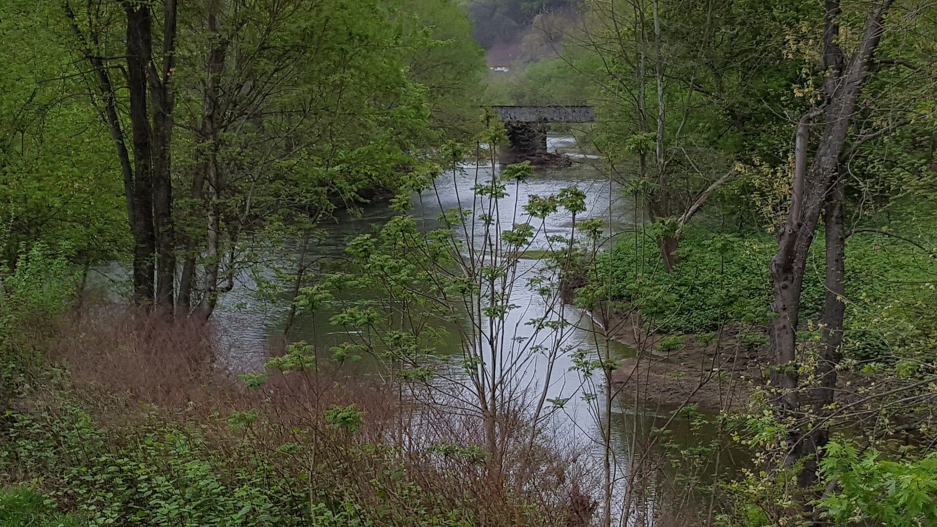
Kentucky currently centers on the Cumberland River tailwater. That makes the state page a focused planning guide for a large coldwater system below Wolf Creek Dam rather than a broad directory.
For SEO and usefulness, the Kentucky hub should help anglers think about generation, long floats, bank options, trout regulations, and safety before opening the Cumberland report.
Best for
- - Cumberland River trout tailwater planning
- - Boat and bank anglers checking generation timing
- - Long float logistics below Wolf Creek Dam
- - Readers comparing access points before committing to a day
Check before you go
- - Check current Kentucky fishing regulations and any Cumberland River trout rules before fishing.
- - Verify generation and water levels before wading or choosing a boat plan.
- - Have a shuttle, takeout, and weather plan before committing to long downstream sections.
- - Treat the hub as a focused Cumberland starting page until more Kentucky waters are added.
Kentucky content should be careful with release-driven safety language because the current hub depends on one major tailwater report.
Best starting points
First reports to open in Kentucky
These are not rankings. They are quick starting points from the current inventory, chosen to help you compare water types, access, and source coverage before drilling into the full list.
Seasons
How to think about timing
The best season changes by elevation, runoff, regulation, water temperature, hatch timing, and access. Use these notes as planning prompts, then confirm the individual river page and current official sources before fishing.
Winter
Midges, small nymphs, and lower crowds can be good when generation allows. See Cumberland River.
Spring
Sulfurs, caddis, and changing release schedules drive the plan. See Cumberland River.
Summer
Cold water supports trout, but heat, crowds, and generation still matter. See Cumberland River.
Fall
Brown trout behavior, streamers, and cooler weather can create strong windows. See Cumberland River.
Hatches
Hatch windows and fly planning
Hatch charts on BlueStreamFly are practical planning notes, not live bug reports. They help you pack flies and choose a starting tactic, then the actual river conditions should make the final decision.
Winter / Cumberland River
Midges, sowbugs and scuds as food base
Zebra midge, scud, sowbug, small pheasant tail
Spring / Cumberland River
Sulfurs, caddis, midges
Sulfur emerger, caddis pupa, zebra midge, soft hackle
Rules, access, and sources
Check the official path before you fish.
Regulations, closures, access, stocking, water temperature, and releases can change faster than a static page. Every river report should be treated as a planning page that points you back to current official sources.
Gauge examples
RiverReports and USGS 03414100 at Burkesville.
Flow
RiverReports: Cumberland River at Burkesville
Open source page
Flow
USGS monitoring location: Cumberland River at Burkesville
Open source page
Flow
USACE Water Data project page for Wolf Creek
Open source page
Regulations
Kentucky Cumberland River Tailwater
Open source page
Regulations
Kentucky Fishing and Boating Guide
Open source page
Safety and weather
Kentucky fly fishing the Cumberland tailwater generation safety
Open source page
Safety and weather
National Weather Service forecast point near Burkesville
Open source page
Full state list
All Kentucky report pages
Open a specific report for current planning context, nearby water, access notes, regulations, hatches, fly picks, weather, flow checks, and source links.