Tennessee / Southeast
Nolichucky River
A Nolichucky River report for eastern Tennessee smallmouth, lower-river flow context, access planning, fly choices, and safety source checks.
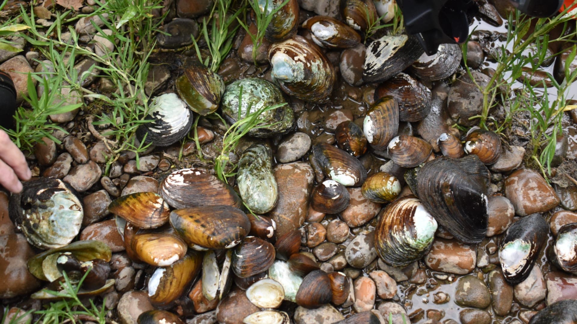
Image: Freshwater mussels from the Nolichucky River 10 July 2024 / Public domain / Rebekah Ewing/USFWSFishability now: Nolichucky River fishability today
GreatData confidence: High96/100
Fishable now because the live gauge is stable, weather is usable, and no public alert is active.
Flow observed
4:30 PM UTC
Weather observed
5:00 PM UTC
Score calculated
5:25 PM UTC
Why this rating
Flow
Weather
Public alerts
Next 6-12 hours
Hold
Stable live data supports staying with the plan, but recheck the gauge and forecast before leaving.
USGS flow
1,340 cfs
Current trend: flow stable, so weather, temperature, and access checks drive the next change.
More planning details: flies, flow bands, and live source checks
Fish it today
Start here
Start with the Lowland gauge, TWRA rules and exceptions, USFS Nolichucky River information, weather, and one realistic access or float plan. Decide smallmouth, trout, or streamer prospecting before rigging.
Best flow clue
Use USGS 03467609 near Lowland as the main public trend. Stable or slowly falling flows improve clarity and edge fishing; fast rises, pushy current, or poor visibility should move the plan to banks or another river.
Skip trigger
Skip or pivot when the Lowland gauge is rising hard, thunderstorms are upstream, wading exits are poor, whitewater traffic conflicts with the plan, or TWRA reach rules and access are not confirmed.
Flow decision bands
Reach first, then flow
The Nolichucky fishes differently as gorge water, lowland smallmouth water, and narrow trout-window water, so pick the reach and method before reading the gauge.
Best readable window
Stable or slowly falling Lowland flow with improving clarity is the best signal for streamers, poppers, crayfish, and bank-edge work.
Rising, stained, or pushy
Sharp rises, muddy tributaries, strong current, or poor visibility should move the plan to banks, boats with proper logistics, or another river.
Logistics or conflict pressure
Whitewater traffic, poor exits, private-bank uncertainty, or unclear TWRA reach rules can make the river a poor choice even when flow looks tempting.
USGS flow
1,340 cfs
Current trend: flow stable, so weather, temperature, and access checks drive the next change.
Live USGS flow
1,340 cfs / stable
Live NWS forecast
74F / Sunny
Water temperature not verified
Heat guidance uses weather and river type unless an official water-temperature value is available.
No NWS alert flag
No active NWS alert was returned for this forecast point.
USGS 03467609 helps with lower-river trend, but gorge and Erwin access still need local checks.
Smallmouth tactics dominate warm stable water: poppers, crayfish, baitfish, and ledge fishing.
High water, storm debris, and whitewater current can make wading or floating unsafe.
Check official access and road status before naming a specific put-in or bank plan.
Editorial review
How this report is maintained
This Nolichucky River report is maintained from Tennessee Wildlife Resources Agency regulations and exceptions, U.S. Forest Service Cherokee National Forest access information, USGS Lowland flow data, weather, media-credit, and gorge-to-lowland river planning sources.
Byline
BlueStreamFly editorial team
Reviewed by
BlueStreamFly source review
Maintained by
Mountain Brook Run LLC
Last material review
2026-06-01
Report confidence
Good confidence
87/100
Good confidence: TWRA regulations and exceptions, USFS Nolichucky access information, USGS Lowland flow, weather coverage, image credit, and route-specific gorge-to-lowland guidance support the page. Confidence is moderated by whitewater logistics, private-bank details, storm response, visibility, and reach-specific trout versus smallmouth differences.
Regulations
TWRA statewide regulations and exception sources support the current rule-check path.
Access
USFS Nolichucky River information supports public corridor planning, while ramps, shuttles, private banks, and exact safe exits remain trip-specific.
Flow and weather
USGS 03467609 near Lowland and the National Weather Service point provide strong live planning support for flow, weather, storm, and safety decisions.
Fishing usefulness
The page now separates gorge versus lowland planning, trout versus smallmouth windows, visibility, whitewater safety, access, and backup-water choices.
Fishability dashboard and source review
2026-06-01 / material content or source review
TWRA fishing regulations and exceptions, U.S. Forest Service Nolichucky River access information, USGS 03467609 near Lowland, the National Weather Service point, and image credit were checked before updating the current-fishability decision layer.
2026-06-01
Updated Nolichucky River to the current fishability-page standard with Lowland flow bands, gorge-to-lowland access cards, backup cues, stable fishability SEO, and confidence signals.
2026-05-28
Added gorge-versus-lowland trip fit, whitewater and wading safety context, Lowland gauge planning, access and private-bank cautions, smallmouth and trout decision cues, backup-water suggestions, editorial review signals, and a page-specific report-confidence meter after source review.
2026-05-25
Initial source-reviewed report published with flow, weather, hatches, flies, tactics, access, regulations, and FAQs.
Angler planning edge
Local details that change the plan
Best for
Northeast Tennessee anglers deciding whether the Nolichucky plan is gorge whitewater, lowland smallmouth, or a narrow trout-window check, Streamer, popper, crayfish, hellgrammite, and bank-edge days when flow and clarity make the big freestone water readable, Trips where USFS access, TWRA rules, whitewater traffic, storm flow, private banks, and safe exits all need current checks, Anglers comparing Nolichucky River with South Holston River, Watauga River, or Little River before choosing a regional plan
Wade or float
Treat the Nolichucky as big, powerful freestone water. Gorge water, lowland banks, and float plans have different safety margins, so choose the reach and method before reading the fly box.
Best flows
Use USGS 03467609 near Lowland as the main public trend. Stable or slowly falling flows improve clarity and edge fishing; fast rises, pushy current, or poor visibility should move the plan to banks or another river.
When to skip
Skip or pivot when the Lowland gauge is rising hard, thunderstorms are upstream, wading exits are poor, whitewater traffic conflicts with the plan, or TWRA reach rules and access are not confirmed.
Local plan
Start with the Lowland gauge, TWRA rules and exceptions, USFS Nolichucky River information, weather, and one realistic access or float plan. Decide smallmouth, trout, or streamer prospecting before rigging.
Pressure
Pressure follows low clear summer flows, easy access, and commercial boating windows. A safer edge or quieter lower reach is usually better than forcing a crowded or pushy run.
Access nuance
USFS information supports the public river corridor, but gorge logistics, ramps, shuttles, private banks, parking, and whitewater safety still need trip-day confirmation.
Backup water
If the Nolichucky is high, dirty, crowded, or too logistically hard, compare South Holston River for technical trout, Watauga River for another tailwater, or Little River for smaller freestone trout water.
About the river
Setting, character, and why it fishes the way it does.
The Nolichucky runs out of the Appalachian mountains through a mix of gorge, ledge, and lower-river habitat. It is a bigger, more dynamic river than the Smokies pocket-water streams nearby.
The fishing plan changes by reach. Gorge and Erwin water can have whitewater and remote logistics, while lower river sections trend more toward smallmouth, warmwater structure, and boat or bank access.
This report keeps the page useful by focusing on flow, access, safety, and smallmouth tactics instead of forcing a generic trout hatch chart onto the whole river.
Target species
Smallmouth bass
The most useful main-river fly target in warm stable conditions.
Rock bass and sunfish
Common warmwater companions around ledges, seams, and bank cover.
Trout context
Reach-specific and cooler-water context only; do not assume the whole river is a trout stream.
Baitfish, crayfish, and hellgrammites
The core forage base for most fly choices.
Reading the water
Stable clear flow
Fish ledges, shade, and current breaks with poppers or crayfish patterns.
Light stain
Streamers and darker subsurface patterns can work well around banks.
High water
Avoid wading and reconsider floating if debris, strainers, or current are unsafe.
Cooler edges
Check temperature and tributary context before trying trout-style tactics.
Best seasons
Spring
Warming water, caddis, and streamer activity can start the smallmouth season.
Summer
Topwater smallmouth and ledge fishing can be strong during stable flows.
Fall
Cooling water and baitfish movement improve streamer and subsurface fishing.
Winter
Slow subsurface tactics matter; trout context is reach-specific.
USGS flow
Nolichucky River near Lowland
This is the fallback for rivers that are not covered by RiverReports. Use the official USGS monitoring page for the live hydrograph, station metadata, and current water trend.
Open USGS gaugeUSGS data chart
Nolichucky River near Lowland
Streamflow over the latest USGS reporting window.
Latest
1,340 cfs
Jun 3, 4 PM UTC
Weather
River weather report
Weather can change wading safety, road access, water temperature, hatches, and the best time of day to fish.
Live forecast loads as you reach this section
This keeps the report fast while still using the official National Weather Service forecast point.
Hatches and flies
Hatch chart and fly picks
March to May
Quill Gordons, caddis, early mayflies, baitfish, and warming smallmouth
Parachute Adams, caddis pupa, hare's ear, Clouser, crayfish
June to August
Hellgrammites, crayfish, baitfish, popper water, and terrestrials
Poppers, foam diver, crayfish, hellgrammite, Clouser, baitfish streamer
September to October
Cooling smallmouth water, baitfish, caddis, and streamer windows
Small baitfish, crayfish, soft hackle, popper, olive bugger
November to February
Cold-water nymphing near trout water and slow smallmouth presentations
Stonefly nymph, midge, small streamer, jig bugger, crayfish
Topwater
Poppers, foam divers, sliders, cicada, hopper
Use in warm stable water near ledges, shade, and slow tailouts.
Subsurface
Crayfish, hellgrammite, Clouser, jig bugger, baitfish streamer
Use in current breaks, deeper runs, and when bright sun pushes fish down.
Crossover trout box
Stonefly, hare's ear, soft hackle, small bugger, BWO emerger
Use near cooler tributary or tailwater-influenced water when trout are possible.
Tactics
How to fish it
Pick a safe reach and access plan before deciding whether to wade or float.
Fish poppers tight to shade, ledges, and tailouts during warm stable water.
Use crayfish and hellgrammite patterns when sun pushes fish down.
Strip baitfish patterns through current breaks after rain adds safe stain.
Avoid remote wades when recent storms may have changed banks, bridges, or strainers.
Rigging
Rod, leader, and setup notes
A 6 or 7-weight with floating line handles most smallmouth flies.
Use 0X to 2X leaders for poppers and streamers around rock.
Carry sink tips only if you know the reach and flow are safe.
A PFD, wading staff, and partner are smart on remote or float days.
Access
Access and planning notes
Lowland gauge
Primary live trendWade / float / trail
USGS gauge / wade / float
When to pick it
Start here when flow direction, visibility, and safe edges decide whether the day is realistic.
Caution
The gauge does not solve gorge logistics, whitewater traffic, ramps, shuttles, or private-bank limits.
Nolichucky gorge corridor
High-consequence waterWade / float / trail
USFS / whitewater / bank
When to pick it
Use this only when the plan accounts for powerful water, safe exits, and a realistic route.
Caution
Do not treat gorge water like a casual wade plan during rises or poor visibility.
Lowland smallmouth edges
Warmwater backup inside the riverWade / float / trail
Bank / float / edge fishing
When to pick it
Pick this style when trout conditions are marginal but lower-river clarity and access are workable.
Caution
Heat, storms, private banks, and boat traffic still need current confirmation.
Do not assume post-storm access or river hazards are unchanged.
Private banks and remote exits require a conservative plan.
Whitewater users and anglers can share the same corridors.
Regulations
Check before fishing
Check TWRA statewide and exception rules for the exact Nolichucky River reach and target species before fishing.
Primary base
Erwin, Greeneville, Morristown, or Johnson City
Best day style
Big freestone smallmouth, whitewater, access checks, and storm-damage awareness
Check first
USGS flow, TWRA rules, USFS access status, recent storms, weather, and water temperature
Safety
Whitewater current, remote banks, storm damage, strainers, ledges, and changing access
Gear
Helpful gear for this water
Six or seven-weight rod
Handles poppers, streamers, wind, and bigger river smallmouth.
Floating line
Covers most popper, streamer, and crayfish work.
Wading staff and PFD
Important around pushy ledges, boats, and remote current.
Thermometer
Use it to avoid stressing trout and to find better smallmouth windows.
Backup access plan
Storm damage, private land, and river levels can close a planned reach.
Nearby water
Other water to research
Backup logic
High or muddy water
Compare South Holston River, Watauga River, or Little River instead of forcing a big freestone day.
Unsafe wading or exits
Move to banks, a properly planned float, or another East Tennessee river with simpler access.
Warm trout conditions
Shift expectations toward smallmouth water where appropriate or choose a colder trout option.
Whitewater or shuttle issue
Pick a reach with confirmed legal access and exits before committing to the Nolichucky.
Little River
A Smokies trout option when you want smaller water.
Hiwassee River
A Tennessee tailwater option when the Nolichucky is too high.
South Holston River
A technical tailwater trout plan in northeast Tennessee.
FAQ
Fast answers
Is Nolichucky River fishable today?
Nolichucky River looks very fishable right now. The live score is 96/100, based on current flow, weather, public alerts, and the report's planning context. Recheck the linked gauge and forecast before leaving because conditions can change quickly after rain, heat, access changes, or flow swings.
What flow is best for Nolichucky River?
Use USGS 03467609 near Lowland as the main public trend. Stable or slowly falling flows improve clarity and edge fishing; fast rises, pushy current, or poor visibility should move the plan to banks or another river.
When should I skip Nolichucky River?
Skip or pivot when the Lowland gauge is rising hard, thunderstorms are upstream, wading exits are poor, whitewater traffic conflicts with the plan, or TWRA reach rules and access are not confirmed.
Is Nolichucky River safe to wade right now?
The fishability score is not a wading guarantee. Wade only where your chosen access has safe edges, clear footing, legal entry, and no forced crossings; high, rising, stained, or storm-affected water should be treated conservatively.
What should I check first before fishing Nolichucky River?
Check USGS 03467609, TWRA rules, USFS access, recent storm impacts, weather, and water temperature.
Where should a first-time visitor start on Nolichucky River?
Start with confirmed public access near the reach you want to fish; do not assume gorge access is unchanged.
Can I wade Nolichucky River?
Sometimes, but big current, ledges, and storm debris make conservative wading essential.
What flies should I bring for Nolichucky River?
Bring the seasonal fly box, then adjust size, weight, and color to water level, clarity, temperature, and fishing pressure.
Sources
Source set for this report
Reviewed 2026-06-01