New York / Northeast
Schroon River
An Adirondack Schroon River report for Riverbank flows, PFR access, stocked trout and salmon context, hatches, tactics, and rules.
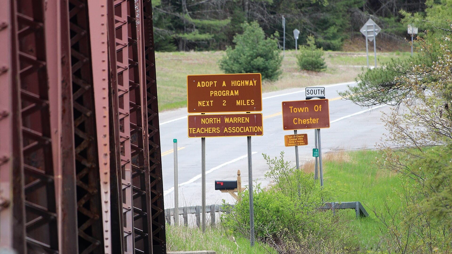
Image: Chester, New York at the Schroon River / CC BY-SA 4.0 / Tyler A. McNeilFishability now: Schroon River fishability today
GreatData confidence: High96/100
Fishable now because flow has been checked, weather is usable, and no public alert is active.
Flow observed
4:30 PM UTC
Weather observed
5:00 PM UTC
Score calculated
5:24 PM UTC
Why this rating
Flow
Weather
Public alerts
Next 6-12 hours
Hold
Stable live data supports staying with the plan, but recheck the gauge and forecast before leaving.
USGS flow
3 ft
Current trend: previous-score comparison will become more useful after repeated live checks.
More planning details: flies, flow bands, and live source checks
Fish it today
Start here
Start with Riverbank stage, the river forecast context, and one public access plan near the Hammond Pond or Chester-side river corridor. Fish edges, seams, shaded banks, and deeper bends before moving far.
Best flow clue
Use USGS 01317000 at Riverbank and the NWS River Forecast Center together. Because the public gauge support is stage-focused, pair it with trend, recent rain, visibility, and safe edge checks before wading.
Skip trigger
Skip or pivot when stage is rising, banks are flooded, thunderstorms are nearby, water is too warm for trout handling, public access is uncertain, or Region 5 and trout-stream rules for the exact reach are not confirmed.
Flow decision bands
Low and technical
Lower Riverbank stage can still fish well, but quiet approaches, exact holding water, and careful trout handling matter more than racing through the corridor.
Best stable Riverbank stage
Stable stage with cool weather and safe edge water is the cleanest signal for nymphs, dries, terrestrials, and a compact Adirondack trout session.
Rising stage or flooded banks
A rising hydrograph, flooded grass edges, or current that erases safe footing should move the day off the Schroon instead of forcing crossings.
Warm or access-unclear
A fishable stage still becomes a poor trout call when warm afternoons build fast or the exact public-rights corridor is not clearly legal and open.
USGS flow
3 ft
Current trend: previous-score comparison will become more useful after repeated live checks.
Live USGS flow
3.48 ft / no clear trend
Live NWS forecast
77F / Sunny
Water temperature not verified
Heat guidance uses weather and river type unless an official water-temperature value is available.
No NWS alert flag
No active NWS alert was returned for this forecast point.
USGS Riverbank is the best public flow reference for the lower river.
DEC PFR maps list stocked brown, brook, rainbow trout, and Atlantic salmon context.
Spring and fall can be productive, but high water changes wading quickly.
Respect PFR signs and private banks.
Editorial review
How this report is maintained
This Schroon River report is maintained from USGS Riverbank stage data, National Weather Service River Forecast Center context, New York Region 5 and inland trout regulations, Hammond Pond Wild Forest information, public fishing rights and trout-stream map guidance, weather, media-credit, and Adirondack river planning sources.
Byline
BlueStreamFly editorial team
Reviewed by
BlueStreamFly source review
Maintained by
Mountain Brook Run LLC
Last material review
2026-05-31
Report confidence
Good confidence
87/100
Good confidence: USGS Riverbank stage, river forecast context, New York trout rules, Hammond Pond access context, public-rights guidance, and weather support the page. Confidence is moderated because the public gauge support is stage-focused, exact access is reach-specific, and warm-water windows can change quickly.
Regulations
New York Region 5 and inland trout rules support the legal-check path for Schroon reach selection.
Access
Hammond Pond Wild Forest, public fishing rights, and trout-stream map guidance support public planning, while exact legal entry still requires day-of care.
Flow and weather
USGS 01317000 at Riverbank, river forecast context, and the National Weather Service point support stage, weather, and storm-response checks, but not a simple discharge target.
Fishing usefulness
The page now separates stage-aware safety, warm-water restraint, public-access choice, rule checks, and backup-water decisions.
Fishability dashboard and source review
2026-05-31 / material content or source review
USGS 01317000 at Riverbank, National Weather Service River Forecast Center context, New York Region 5 and inland trout regulations, Hammond Pond Wild Forest information, public fishing rights guidance, trout-stream map support, and the National Weather Service point were checked before updating the current-fishability decision layer.
2026-05-31
Updated Schroon River to the current fishability-page standard with stage-aware fishability bands, access cards, backup cues, stable fishability SEO, and confidence signals.
2026-05-28
Added Adirondack river trip fit, stage-based flow caution, trout and stocked-salmon planning, access nuance, warm-water and high-water skip cues, backup-water suggestions, editorial review signals, and a page-specific report-confidence meter after source review.
2026-05-25
Initial source-reviewed report published with stage/forecast context, weather, hatches, flies, tactics, access, regulations, and FAQs.
Angler planning edge
Local details that change the plan
Best for
Adirondack anglers planning a Schroon River trout and salmon-stocked trip around Riverbank stage, weather, Region 5 rules, and public access, Wade and bank plans where stage trend, road access, warm afternoons, and public-rights checks matter more than a single discharge number, Dry-dropper, nymph, streamer, and terrestrial windows when the river is cool, readable, and not pushing too hard, Anglers comparing the Schroon with the Saranac River, West Branch Ausable, or Battenkill before choosing a northern New York plan
Wade or float
Treat the Schroon as wade-and-bank water with stage-based caution. The Riverbank gauge is useful, but exact reach depth, private banks, warm water, and road access still decide whether the plan is realistic.
Best flows
Use USGS 01317000 at Riverbank and the NWS River Forecast Center together. Because the public gauge support is stage-focused, pair it with trend, recent rain, visibility, and safe edge checks before wading.
When to skip
Skip or pivot when stage is rising, banks are flooded, thunderstorms are nearby, water is too warm for trout handling, public access is uncertain, or Region 5 and trout-stream rules for the exact reach are not confirmed.
Local plan
Start with Riverbank stage, the river forecast context, and one public access plan near the Hammond Pond or Chester-side river corridor. Fish edges, seams, shaded banks, and deeper bends before moving far.
Pressure
Pressure is usually less famous-hatch-driven than the Delaware or Ausable, but easy roadside water and summer travel can still concentrate anglers. A quieter secondary access often beats the most obvious pull-off.
Access nuance
Hammond Pond Wild Forest, public fishing rights, and trout-stream map sources support planning, but bridge areas, private banks, parking, and exact legal corridors still need current confirmation.
Backup water
If the Schroon is high, warm, crowded, or unclear on access, compare the Saranac River for Lake Champlain tributary context, the West Branch Ausable for pocket-water trout, or the Battenkill for a different northern New York style.
About the river
Setting, character, and why it fishes the way it does.
The Schroon River drains Schroon Lake and flows south through Adirondack foothill water toward the Hudson River. It is larger and more open than many tight Adirondack brook-trout streams.
DEC PFR information identifies trout and Atlantic salmon stocking context, with public easements broken into multiple river sections. That makes map reading part of the fishing plan.
This page is scoped around the Riverbank gauge and PFR sections because a general Schroon description is not enough for a safe fly fishing day. Flow, access, temperature, and reach rules decide the tactics.
Target species
Brown trout
Stocked and possible in pools, banks, and deeper runs.
Rainbow trout
Listed by DEC in Schroon River PFR fish species context.
Brook trout
More likely around colder tributary influence and upper context.
Atlantic salmon
Stocking context exists; confirm current rules before targeting or keeping fish.
Reading the water
Moderate stage
Best mix of wading, nymphing, dry-dropper fishing, and streamer edges.
High spring water
Use banks and softer inside seams; skip crossings.
Low clear water
Use smaller flies, longer leaders, and shaded approaches.
Warm weather
Check temperature and shift away from trout if water is stressful.
Best seasons
Spring
Stocked trout context, caddis, BWOs, and high-water awareness.
Early summer
Caddis, cahills, terrestrials, and dry-dropper fishing can work.
Fall
Cooler water and streamer windows improve.
Winter
Check legal access, ice, and safety before considering any cold-weather trip.
USGS flow
Schroon River at Riverbank
This is the fallback for rivers that are not covered by RiverReports. Use the official USGS monitoring page for the live hydrograph, station metadata, and current water trend.
Open USGS gaugeUSGS data chart
Schroon River at Riverbank
Gauge height over the latest USGS reporting window.
Latest
3 ft
Jun 3, 3 PM UTC
Weather
River weather report
Weather can change wading safety, road access, water temperature, hatches, and the best time of day to fish.
Live forecast loads as you reach this section
This keeps the report fast while still using the official National Weather Service forecast point.
Hatches and flies
Hatch chart and fly picks
April to May
Midges, early black stones, BWOs, Hendricksons, and caddis
Zebra midge, black stonefly nymph, BWO emerger, Hendrickson, caddis pupa
June
March Browns, sulphurs, cahills, caddis, and golden stones
March Brown, sulphur emerger, light cahill, X-caddis, golden stone
July to August
Caddis, isonychia, ants, beetles, hoppers, and pocket-water attractors
Stimulator, parachute Adams, isonychia, foam ant, beetle, small hopper
September to October
BWOs, October caddis, midges, and streamer opportunities
BWO, October caddis, zebra midge, soft hackle, mini sculpin
Nymphs
Pheasant tail, hare's ear, caddis pupa, zebra midge, perdigon
Use when trout are low, current is broken, or the hatch has not started.
Dry flies
BWO, caddis, parachute Adams, sulphur, terrestrial
Use when fish rise, bugs collect in soft seams, or shaded banks are active.
Streamers
Sculpin, leech, woolly bugger, small baitfish
Use in stain, cloud cover, higher water, or deeper edge water.
Soft hackles
Partridge and orange, pheasant tail soft hackle, caddis soft hackle
Swing riffles, tailouts, and current tongues when insects are moving.
Tactics
How to fish it
Use the PFR map to choose a legal reach before starting the day.
Nymph deeper runs and seams when fish are not rising.
Fish caddis, BWOs, and attractor dries during active surface windows.
Use streamers around bank cover and depth changes after safe rain stain.
If trout water warms, switch species or wait for cooler conditions.
Rigging
Rod, leader, and setup notes
A 5-weight is a practical all-around Schroon rod.
Carry 4X and 5X for nymphs and dries, plus heavier tippet for streamers.
Use enough weight for deeper runs but keep rigs manageable around ledges.
Bring a wading staff for spring flows and uneven rock.
Keep a copy of the PFR map available offline.
Access
Access and planning notes
Riverbank gauge and bridge check
Primary stage decisionWade / float / trail
Gauge / bridge scout
When to pick it
Start here when stage trend decides whether the Schroon should stay on the table before you commit to a long Adirondack drive.
Caution
Stage context is useful, but it does not remove upstream depth changes, private banks, or warm-water concerns.
Hammond Pond corridor
Named public-access sessionWade / float / trail
Walk-and-wade / scout
When to pick it
Pick it when you want the strongest public-land planning anchor and a shorter reach-by-reach trout plan.
Caution
Wild Forest context helps, but exact river entry, parking, and posted-bank details still need field checks.
Public-rights backup reach
Secondary legal optionWade / float / trail
Walk-and-wade
When to pick it
Use it when Riverbank stage is reasonable but the first obvious access or roadside stop is too crowded or unclear.
Caution
Do not assume one mapped public-rights line solves every bridge-area or private-bank boundary.
PFR access is for fishing only and usually follows a narrow bank easement.
Do not use private lawns or informal pull-offs as access unless clearly allowed.
Some access points are easier for spin anglers than fly casting; scout room before rigging.
Regulations
Check before fishing
Check NYSDEC Region 5 special regulations, inland trout rules, and current Schroon River PFR information before fishing.
Primary base
Schroon Lake, Warrensburg, Chestertown, or Lake George
Best day style
PFR easements, road crossings, fishing access sites, and Adirondack private-boundary care
Check first
Riverbank stage, PFR map, Region 5 special rules, weather, and water temperature
Safety
High spring flows, slick ledge, cold water, bridge access, and posted banks
Gear
Helpful gear for this water
4-weight or 5-weight rod
Covers most dry-fly, nymph, and small-streamer work.
Thermometer
Important for summer trout ethics and reach selection.
Wading staff
Useful on slick cobble, ledge rock, and higher water.
Public-access map
Helps avoid posted land and makes the day more efficient.
Nearby water
Other water to research
Backup logic
Rising stage
Wait for the Schroon to settle or compare the Saranac or West Branch Ausable instead of forcing flooded banks.
Warm water
Keep trout sessions short, fish cool hours, and stop handling fish when summer warmth removes the coldwater margin.
Crowding
Use another legal reach or another Adirondack river before turning one bridge access into the whole day.
Access issue
Treat uncertain parking, posted banks, or rule confusion as full fishability limits and pivot early.
Saranac River
A Lake Champlain tributary salmon option.
Ausable River, West Branch
A more technical Adirondack trout alternative.
Delaware River, West Branch
A tailwater option when Adirondack freestones are off.
FAQ
Fast answers
Is Schroon River fishable today?
Schroon River looks very fishable right now. The live score is 96/100, based on current flow, weather, public alerts, and the report's planning context. Recheck the linked gauge and forecast before leaving because conditions can change quickly after rain, heat, access changes, or flow swings.
What flow is best for Schroon River?
Use USGS 01317000 at Riverbank and the NWS River Forecast Center together. Because the public gauge support is stage-focused, pair it with trend, recent rain, visibility, and safe edge checks before wading.
When should I skip Schroon River?
Skip or pivot when stage is rising, banks are flooded, thunderstorms are nearby, water is too warm for trout handling, public access is uncertain, or Region 5 and trout-stream rules for the exact reach are not confirmed.
Is Schroon River safe to wade right now?
The fishability score is not a wading guarantee. Wade only where your chosen access has safe edges, clear footing, legal entry, and no forced crossings; high, rising, stained, or storm-affected water should be treated conservatively.
What should I check before fishing the Schroon River?
Check Riverbank stage, PFR access, Region 5 rules, water temperature, and recent rain.
Are there special regulations on the Schroon River?
Yes. Region 5 special rules and inland trout rules can apply, and PFR access is section-specific.
Can I wade the Schroon River?
Yes at moderate levels, but high spring flows and slick ledge can make wading unsafe.
What flies should I bring for the Schroon River?
Bring the seasonal hatch box, a nymph box, a few streamers, and a backup plan for clear, high, warm, or crowded water.
Sources
Source set for this report
Reviewed 2026-05-31