Montana / West
Bighorn River
A Bighorn River report for Montana tailwater anglers checking Afterbay flow, hatches, access points, public-use rules, weather, and sources.
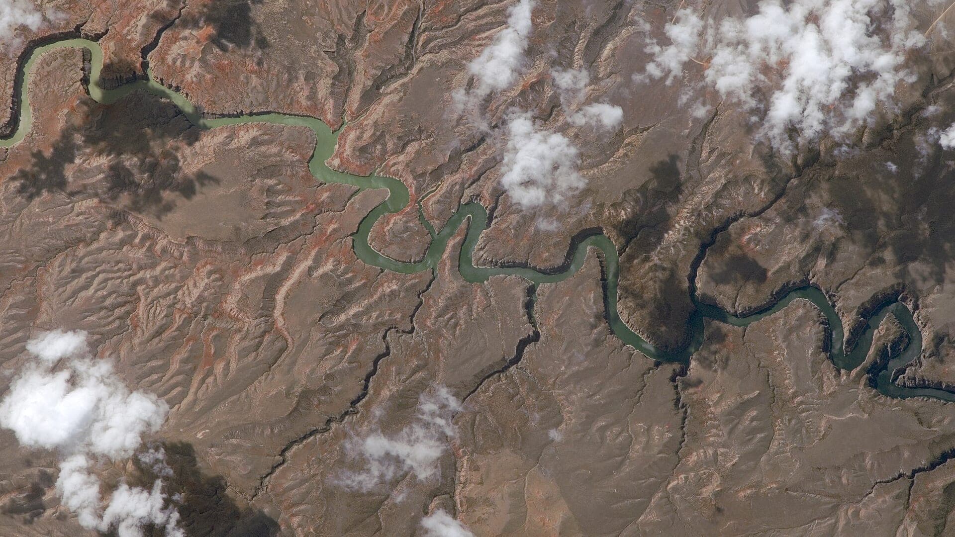
Image: ISS-43 Bighorn River in its canyon / Public domain / NASAFishability now: Bighorn River fishability today
GreatData confidence: High96/100
Fishable now because the live gauge is stable, weather is mild, and no public alert is active.
Flow observed
5:15 PM UTC
Weather observed
5:00 PM UTC
Score calculated
5:25 PM UTC
Why this rating
Flow
Weather
Public alerts
Next 6-12 hours
Hold
Stable live data supports staying with the plan, but recheck the gauge and forecast before leaving.
USGS flow
1,540 cfs
Current trend: flow stable, so weather, temperature, and access checks drive the next change.
More planning details: flies, flow bands, and live source checks
Fish it today
Start here
Start with the Afterbay flow and the legal access plan. Then decide whether the day is a nymphing float, a technical dry-fly hunt, or a streamer window around wind, clouds, and bank structure.
Best flow clue
Use USGS 06287000 below Yellowtail Afterbay for the current release trend. Moderate stable releases support technical nymph and dry-fly work; higher releases move the plan toward boat-based drifts and safer edges.
Skip trigger
Skip or narrow the plan when launches, take-outs, shuttle timing, land status, or weather make the corridor uncertain, or when flow changes make wading unsafe.
Flow decision bands
Low to moderate and technical
Moderate steady tailwater releases keep the Bighorn fishable, but technical presentations and realistic bank access still matter more than chasing a single number.
Best tailwater window
Stable Afterbay flow with manageable wind, legal launches, and clear boat spacing gives the best nymph, dry-fly, and short streamer signal.
Pushy or unsafe
Rising releases, heavy boat traffic, or any wade plan that depends on uncertain bank exits should move the day toward boats or another river.
Land-status and pressure caution
A fishable graph does not make every bank public, every island usable, or every crowded launch worth forcing.
USGS flow
1,540 cfs
Current trend: flow stable, so weather, temperature, and access checks drive the next change.
Live USGS flow
1,530 cfs / stable
Live NWS forecast
65F / Sunny
Water temperature not verified
Heat guidance uses weather and river type unless an official water-temperature value is available.
No NWS alert flag
No active NWS alert was returned for this forecast point.
Use USGS 06287000 below Yellowtail Afterbay as the flow source for this page.
Plan around limited public access such as Afterbay, Three Mile, and Bighorn FAS style launches.
Midges, scuds, sowbugs, PMDs, caddis, tricos, and small streamers all belong in the box.
Stay careful with land status and Montana/Crow Reservation context when leaving the river corridor.
Editorial review
How this report is maintained
This Bighorn River report is maintained from USGS Yellowtail Afterbay flow data, National Park Service Bighorn River access and flow background, Montana FWP fishing regulations, FishMT access records, weather, media-credit, and tailwater planning sources.
Byline
BlueStreamFly editorial team
Reviewed by
BlueStreamFly source review
Maintained by
Mountain Brook Run LLC
Last material review
2026-05-31
Report confidence
High confidence
90/100
High confidence: USGS Afterbay flow, National Park Service access and flow background, Montana regulation sources, FishMT access, weather, and image credit are present. Confidence is moderated by limited access, reservation-area land context, boat pressure, and release changes.
Regulations
Montana FWP regulations are linked, with NPS context for the Bighorn corridor.
Flow support
USGS 06287000 below Yellowtail Afterbay gives the reviewed tailwater release trend.
Access support
NPS and FishMT sources provide planning anchors, but land status, launches, islands, and take-outs remain reach-specific.
Weather and safety
The National Weather Service point resolved and the page calls out cold tailwater, boat traffic, limited exits, slick ledges, and changing releases.
Angler usefulness
The page separates tailwater food base, flow, boat logistics, technical fishing, pressure, and backup-water choices.
Editorial review
A public correction path, source standards page, image credit, and public review history are included.
Fishability source review
2026-05-31 / material content or source review
USGS 06287000 below Yellowtail Afterbay, National Park Service Bighorn access and flow background, Montana FWP regulations, FishMT access information, and the National Weather Service point were rechecked before adding the Pine Creek-standard current-fishability layer.
2026-05-31
Upgraded the page to the Pine Creek fishability standard with tailwater decision bands, launch and bank access cards, backup logic, and a reviewed route profile.
2026-05-28
Added tailwater trip fit, wade-versus-boat framing, limited-access and land-status cautions, technical-fish planning, backup-water suggestions, editorial review signals, and a page-specific report-confidence meter after source review.
2026-05-25
Initial source-reviewed report published with flows, weather, hatches, flies, tactics, access, regulations, and FAQs.
Angler planning edge
Local details that change the plan
Best for
Montana tailwater anglers planning scud, sowbug, midge, PMD, caddis, trico, and streamer days near Fort Smith, Boat or wade trips where Afterbay releases, public launches, shuttle timing, pressure, and land status must be checked first, Anglers who want a steadier tailwater option when freestone rivers are high, warm, muddy, or restricted, Trips that reward technical presentations, smaller flies, and careful access planning more than exploratory bank-hopping
Wade or float
Treat the Bighorn as a boat-and-limited-wade tailwater. Stable water does not make every bank public or safe, so plan launches, take-outs, land status, and boat traffic before choosing the rig.
Best flows
Use USGS 06287000 below Yellowtail Afterbay for the current release trend. Moderate stable releases support technical nymph and dry-fly work; higher releases move the plan toward boat-based drifts and safer edges.
When to skip
Skip or narrow the plan when launches, take-outs, shuttle timing, land status, or weather make the corridor uncertain, or when flow changes make wading unsafe.
Local plan
Start with the Afterbay flow and the legal access plan. Then decide whether the day is a nymphing float, a technical dry-fly hunt, or a streamer window around wind, clouds, and bank structure.
Pressure
Pressure is part of the Bighorn experience. Early launches, clean boat spacing, and realistic expectations for technical fish usually matter more than constant fly changes.
Access nuance
NPS and FishMT sources support public planning, but reservation-area context, bank status, islands, anchoring, and leaving the corridor still need careful confirmation.
Backup water
If the Bighorn is too crowded, windy, or logistically tight, compare the Big Hole for freestone fishing, the Bitterroot for western Montana hatches, or the Madison for another major Montana trout plan.
About the river
Setting, character, and why it fishes the way it does.
The Bighorn River below Yellowtail Dam and Afterbay is a cold, productive tailwater flowing through south-central Montana. Its steady food base and clear flows support famous trout fishing.
The river fishes differently from freestones. Scuds, sowbugs, midges, PMDs, caddis, tricos, and small streamers often matter more than big attractor fishing, although wind and flow changes can open larger presentations.
The corridor also has access complexity. Public launches are limited, the river runs near Crow Reservation lands, and anglers need to understand where they can launch, wade, anchor, and leave the river.
Target species
Rainbow trout
A primary tailwater target in riffles, seams, flats, and nymph lanes.
Brown trout
Common and often targeted with nymphs, dries, or streamers depending on season.
Mountain whitefish
Part of the tailwater fishery and a sign you are fishing productive subsurface lanes.
Carp and warmwater fish
More relevant in downstream warmer reaches, not the core Fort Smith trout plan.
Reading the water
Stable tailwater flow
Nymph riffles, seams, and flats with scuds, sowbugs, midges, or PMDs.
Higher release
Fish edges, softer seams, and boat-based drifts; avoid unsafe wading.
Low clear flow
Use smaller flies, longer leaders, and careful presentations to pressured fish.
Wind or clouds
Streamers, soft hackles, and leeward banks can become more useful.
Best seasons
Winter
Midges, scuds, sowbugs, and slower nymphing can stay productive.
Spring
Midges, BWOs, worms during bumps, and early PMD prep.
Summer
PMDs, caddis, tricos, hoppers on banks, and strong boat traffic.
Fall
BWOs, midges, streamers, and cooling-water brown trout behavior.
USGS flow
Bighorn River below Yellowtail Afterbay
This is the fallback for rivers that are not covered by RiverReports. Use the official USGS monitoring page for the live hydrograph, station metadata, and current water trend.
Open USGS gaugeUSGS data chart
Bighorn River below Yellowtail Afterbay
Streamflow over the latest USGS reporting window.
Latest
1,540 cfs
Jun 3, 3 PM UTC
Weather
River weather report
Weather can change wading safety, road access, water temperature, hatches, and the best time of day to fish.
Live forecast loads as you reach this section
This keeps the report fast while still using the official National Weather Service forecast point.
Hatches and flies
Hatch chart and fly picks
Winter to early spring
Midges, scuds, sowbugs, eggs where legal, and slow tailwater nymphs
Zebra midge, scud, sowbug, Ray Charles, small leech
May to July
PMDs, caddis, midges, yellow sallies, worms during bumps
PMD emerger, sparkle caddis, midge pupa, San Juan worm, soft hackle
August to October
Tricos, pseudos, caddis, hoppers, small baitfish
Trico spinner, small BWO, X-caddis, hopper-dropper, streamer
Late fall
Midges, small olives, scuds, sowbugs, streamer windows
Midge, BWO emerger, scud, sowbug, black leech
Tailwater nymphs
Scuds, sowbugs, zebra midges, PMD nymphs, small worms
Use for most steady-flow tailwater fishing when trout hold near the bottom.
Dry flies
Midge clusters, PMD cripples, caddis, tricos, small BWOs
Use when pods feed in slicks, flats, foam lines, or bank seams.
Streamers
Sculpin, leech, sparkle minnow, small articulated streamer
Use during flow changes, clouds, wind, or when larger browns hunt.
Attractors
San Juan worm, egg where legal, hot bead sowbug, soft hackle
Use after bumps, in stained water, or when exact hatch matching is not required.
Tactics
How to fish it
Use the Afterbay flow to decide whether to wade or plan a boat day.
Start with scuds, sowbugs, and midges before forcing larger attractor flies.
Watch flats and foam lines for pods before changing every fly in the box.
Use streamers during clouds, wind, or flow changes, especially along banks and buckets.
Respect access limits and do not assume every bank or island is available for public use.
Rigging
Rod, leader, and setup notes
A 5-weight is standard for dries and nymphs; a 6-weight helps with wind and streamers.
Use 4X to 6X tippet for technical nymph and dry work.
Carry split shot, small indicators, long leaders, and tailwater-specific small flies.
A drift boat or raft plan should include legal launches, take-outs, and shuttle timing.
Bring layers because wind and canyon weather can change quickly.
Access
Access and planning notes
Afterbay gauge check
Primary release decisionWade / float / trail
Gauge / boat / limited wade
When to pick it
Start here when release stability decides whether the day is a wade edge, technical boat, or backup-water plan.
Caution
The gauge does not resolve launch crowding, land status, or take-out logistics.
Fort Smith corridor launches
Boat-first public accessWade / float / trail
Launch / drift / bank scout
When to pick it
Use these when the corridor is fishable but the best day depends on legal ramps, shuttle timing, and drift spacing.
Caution
Reservation-area context, take-outs, and bank status still need exact confirmation before launching.
Limited bank and wade edges
Short technical sessionWade / float / trail
Bank / wade edge / dry-fly scout
When to pick it
Pick these when flow, wind, and crowding still leave a small precise wade or bank plan worth fishing.
Caution
Do not assume stable water makes every edge safe or open to public use.
Limited access concentrates anglers and boats. Plan shuttle, launch timing, and etiquette before arrival.
Land status around the river is complex. Stay within legal access and confirm reservation-related rules before leaving the river corridor.
Tailwater ledges can be slick and deceptively deep. Do not wade just because the flow looks steady.
Regulations
Check before fishing
Montana FWP rules, NPS Bighorn Canyon information, and Crow Reservation land/access context should be checked before fishing or leaving public access.
Primary base
Fort Smith or Hardin
Best day style
Tailwater launches, drift boats, limited public access, and reservation-area planning
Check first
Afterbay flow, NPS/FWP access, Montana rules, Crow Reservation context, and weather
Safety
Cold tailwater, boat traffic, limited exits, private or tribal land, and changing releases
Gear
Helpful gear for this water
5-weight rod
Covers dries, light nymphs, and most trout presentations.
6-weight rod
Better for wind, stonefly rigs, streamers, and hopper-dropper banks.
Wading staff
Useful in pushy freestone water, slick tailouts, and tailwater ledges.
Thermometer
Use it during summer heat and stop trout fishing when handling becomes unsafe.
Nearby water
Other water to research
Backup logic
High release
Shift to a boat-supported plan or compare the Big Hole or another freestone only after checking current runoff and restriction context.
Wind
Treat a windy day as a technical and safety limiter, not just a casting annoyance, and shorten the float if control or anchors are in doubt.
Crowding
Launch early, choose a shorter legal drift, or move to another Montana river instead of forcing packed ramps and repeated boats in one lane.
Access issue
Use only confirmed NPS and FishMT access points and pivot if land status, islands, anchoring, or take-outs are unclear.
Big Hole River
A freestone Montana contrast with more drought and runoff sensitivity.
Bitterroot River
A western Montana freestone with Skwalas, hoppers, and FWP restriction checks.
Madison River
A famous Montana report with a different tailwater and freestone mix.
FAQ
Fast answers
Is Bighorn River fishable today?
Bighorn River looks very fishable right now. The live score is 96/100, based on current flow, weather, public alerts, and the report's planning context. Recheck the linked gauge and forecast before leaving because conditions can change quickly after rain, heat, access changes, or flow swings.
What flow is best for Bighorn River?
Use USGS 06287000 below Yellowtail Afterbay for the current release trend. Moderate stable releases support technical nymph and dry-fly work; higher releases move the plan toward boat-based drifts and safer edges.
When should I skip Bighorn River?
Skip or narrow the plan when launches, take-outs, shuttle timing, land status, or weather make the corridor uncertain, or when flow changes make wading unsafe.
Is Bighorn River safe to wade right now?
The fishability score is not a wading guarantee. Wade only where your chosen access has safe edges, clear footing, legal entry, and no forced crossings; high, rising, stained, or storm-affected water should be treated conservatively.
What should I check first before fishing the Montana Bighorn River?
Check Afterbay flow, Montana rules, NPS/FWP access, land status, weather, and shuttle logistics.
Are there special regulations on the Montana Bighorn River?
Yes. Montana rules apply, and land/access context near Crow Reservation lands must be handled carefully.
Is the Montana Bighorn River a good fly-fishing river?
Yes, if you match the reach, season, target species, water temperature, and current access rules. This report is built to help you choose that plan.
What flies should I bring for the Montana Bighorn River?
Bring the hatch-chart flies, confidence nymphs, and a backup streamer or warmwater box so you can adjust to flow, clarity, and temperature.
How should I plan access for the Montana Bighorn River?
Use official launches and access areas such as Afterbay, Three Mile, and Bighorn FAS style planning points.
Sources
Source set for this report
Reviewed 2026-05-31